Category: Environment

A possible weather crisis

The latest report on this year’s super El Niño.

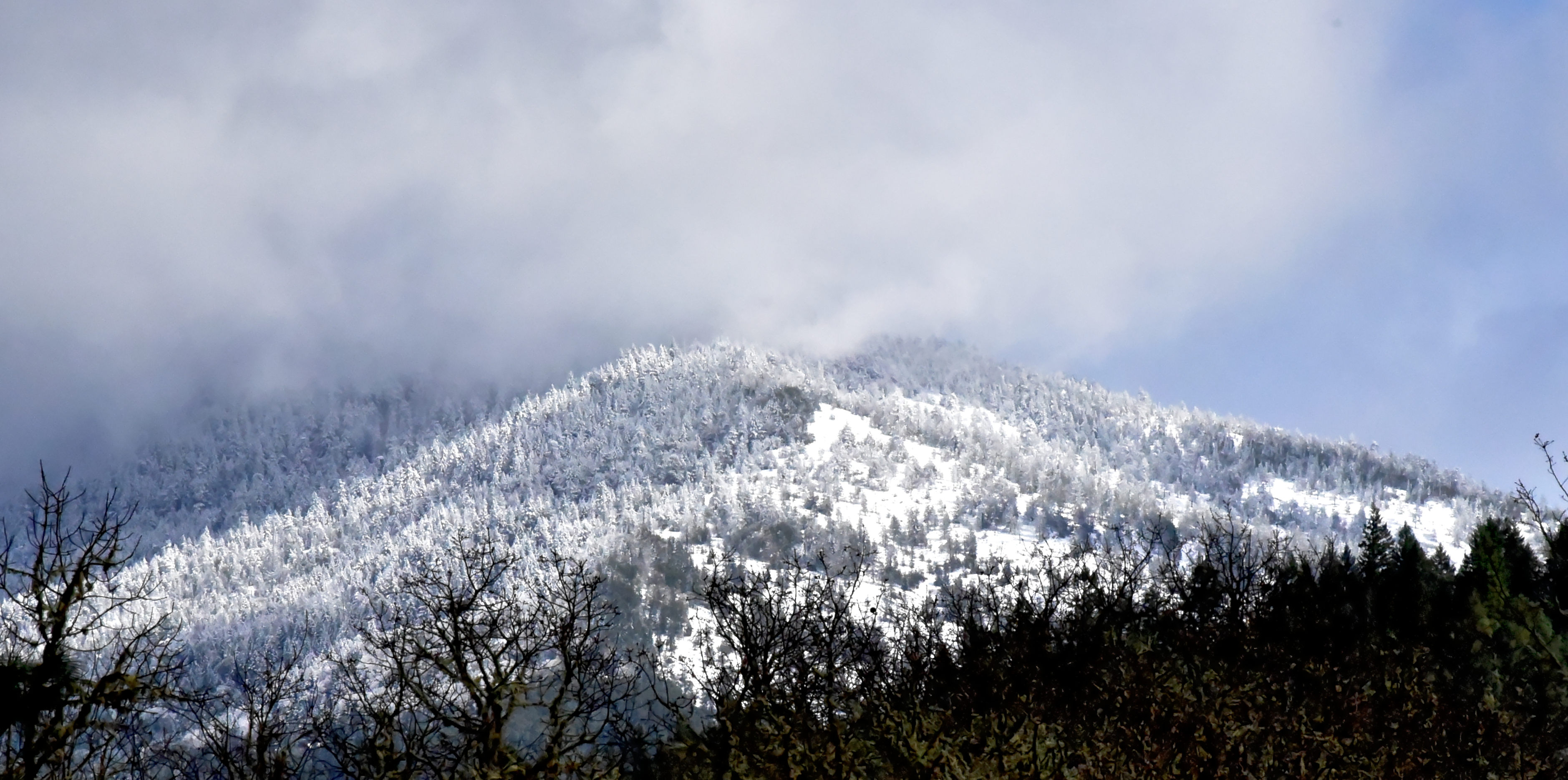
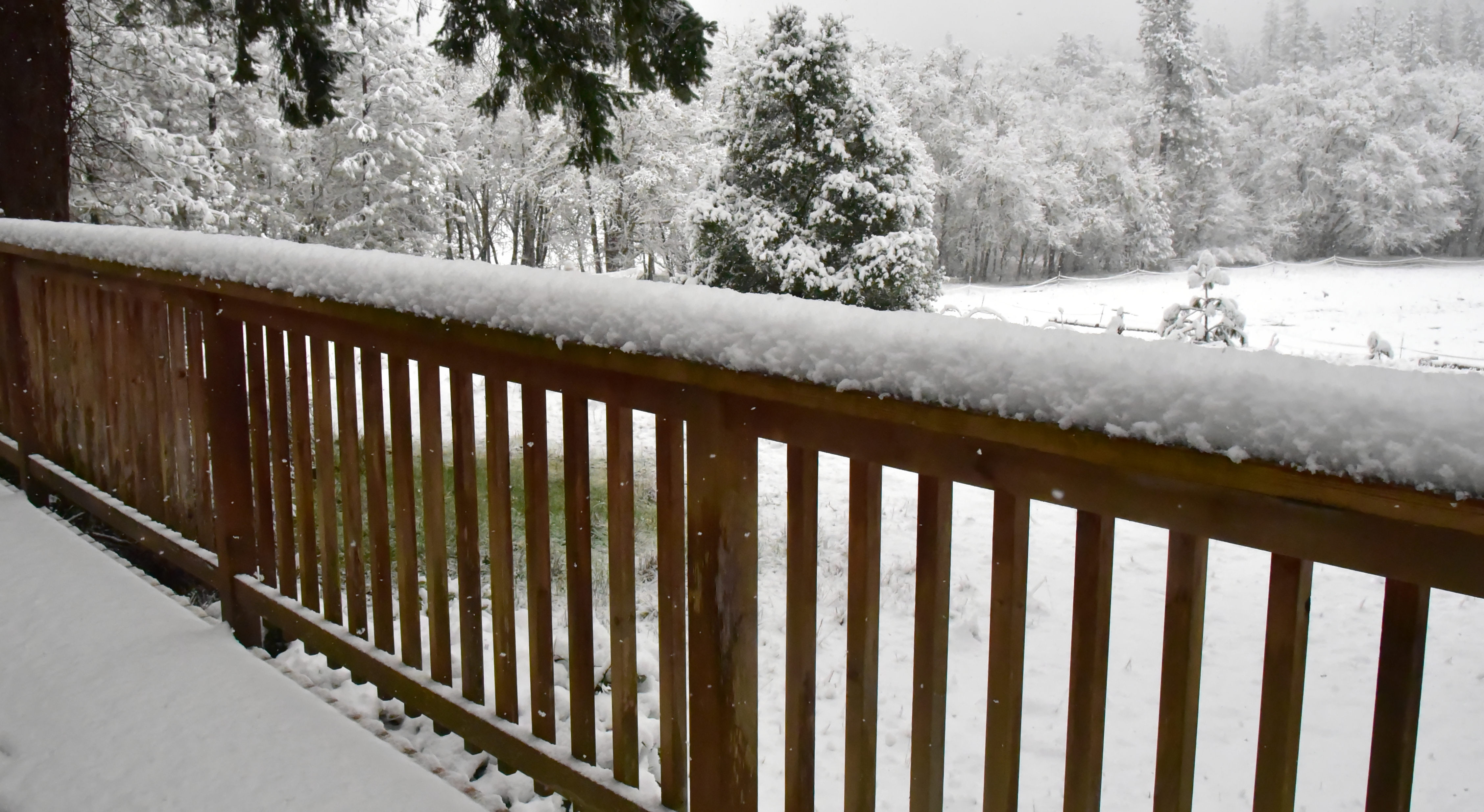
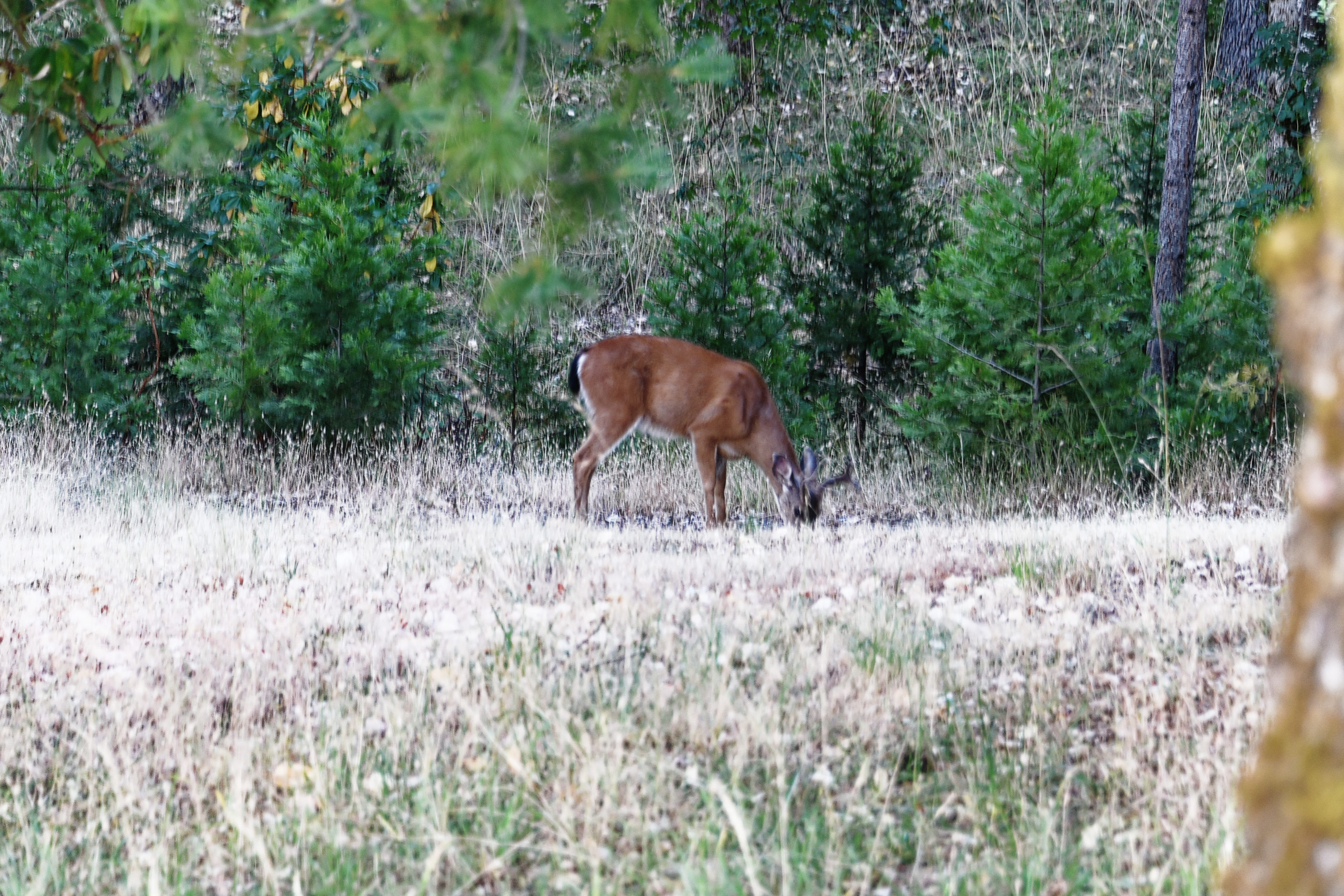
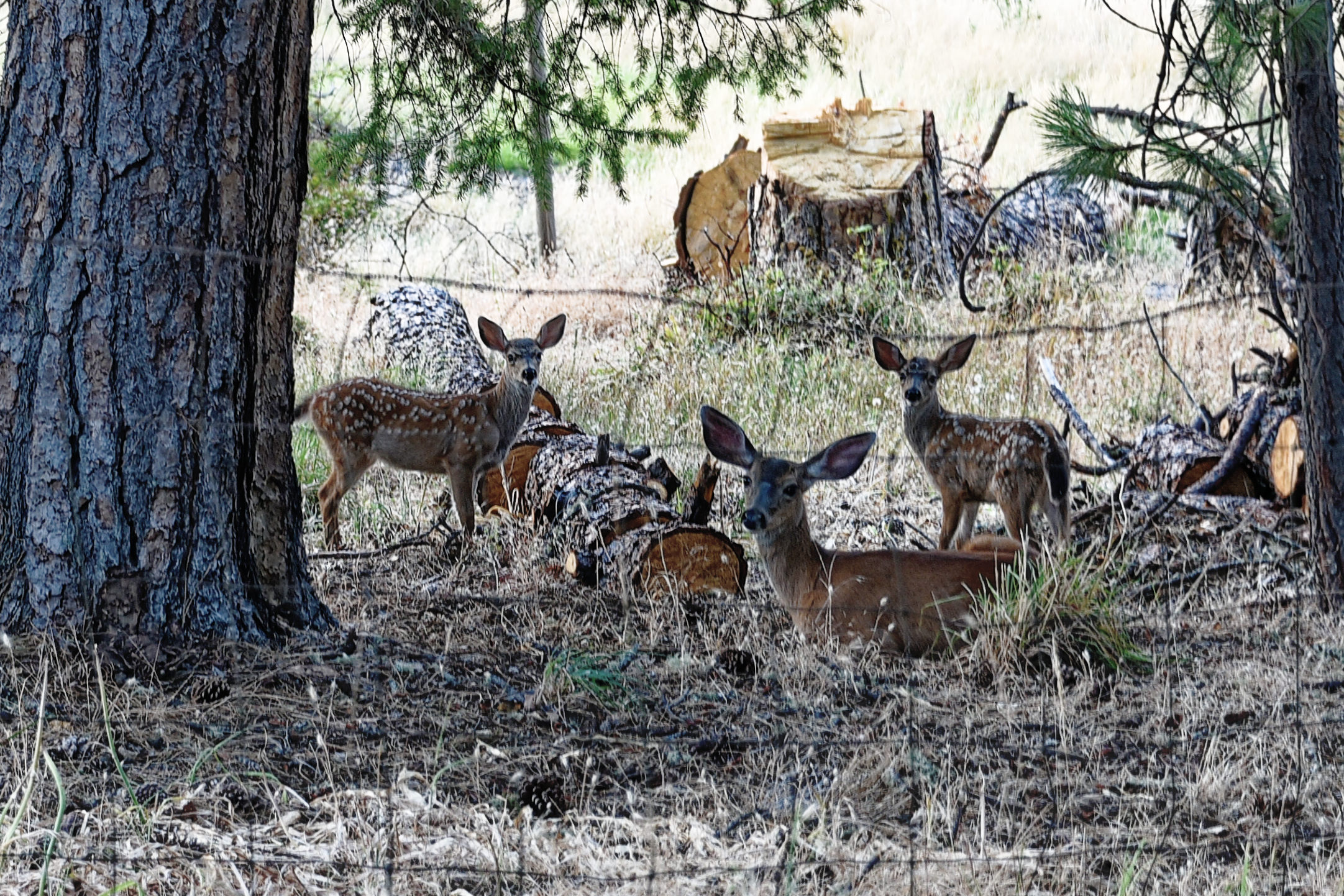
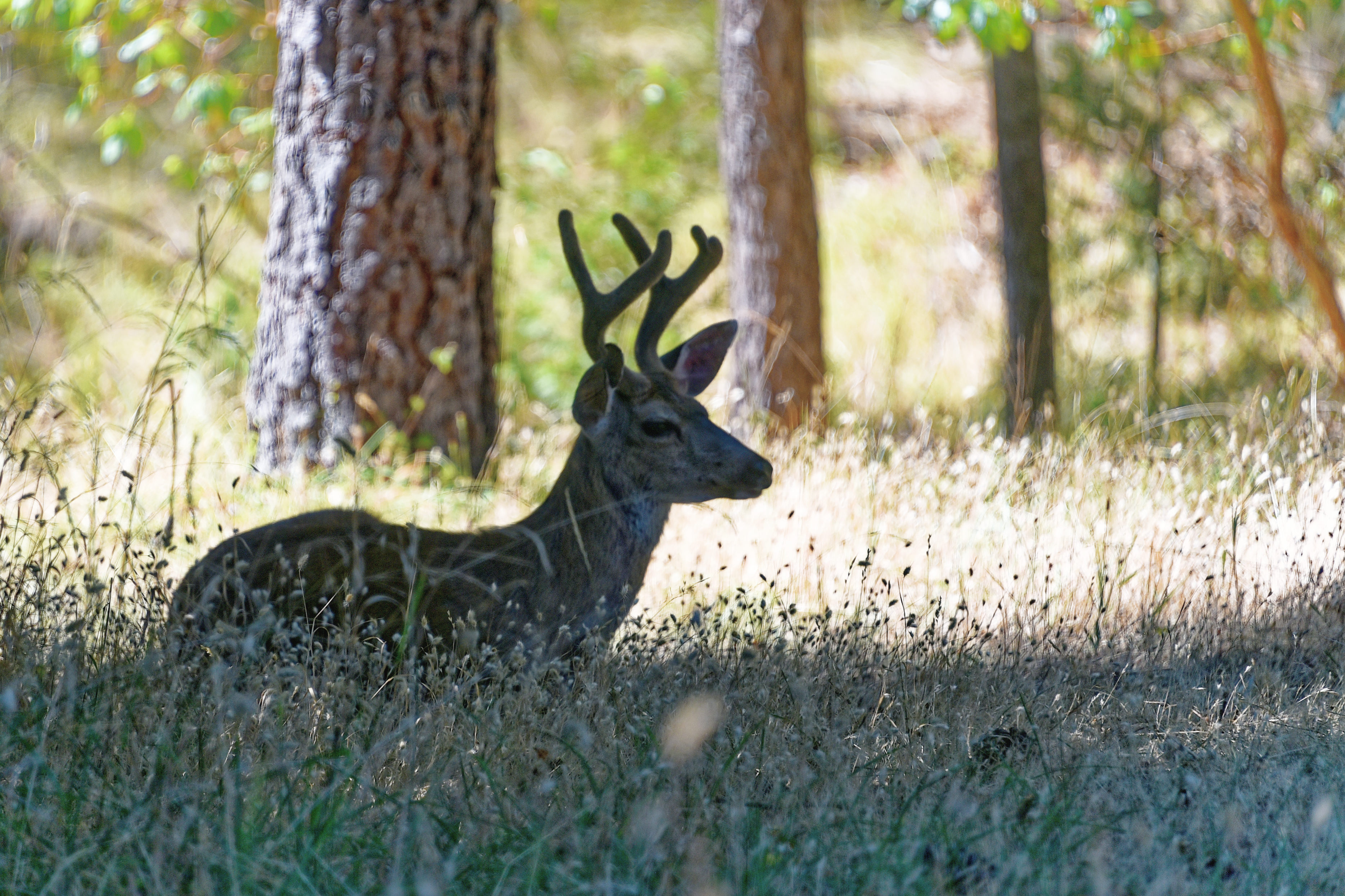
We love living in Southern Oregon. This rural part of the countryside is a delight, and feeding the wild deer is a bonus.

However, we also have to take note of the changing climate and the potential risks that extremes of weather can bring.

ooOOoo

As cities prepare for 2026’s super El Niño, some crucial blind spots can’t be ignored
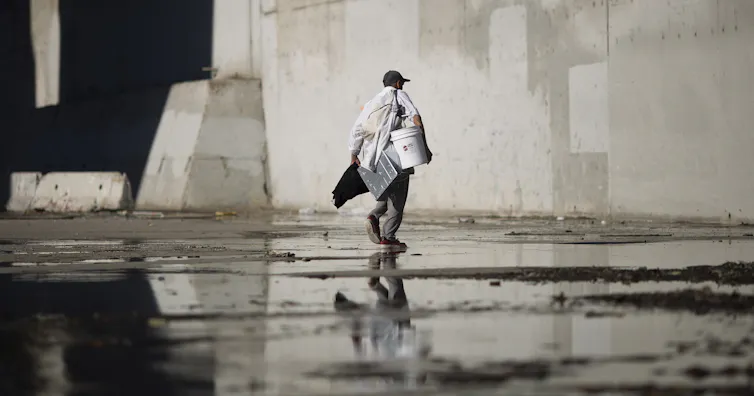
A man carrying several items walks through cement passage with water in it under a bridge
An affordable-housing crisis and a growing homeless population led Los Angeles to declared a shelter crisis during the 2015-16 El Niño. David McNew/Getty Images

Bethany Tietjen, Tufts University

This year’s El Niño has the potential to be one of the strongest in living memory, and the evidence is showing up around the world.

The U.S. just saw its hottest summer on record in the Lower 48 states. Drought is slowing shipping in the Panama Canal. The Pacific is experiencing an exceptionally busy hurricane season, while the Atlantic is unusually quiet. Those are just a few early signs. Forecasters warn that this El Niño could bring extreme heat, destructive storms and flooding to many parts of the planet through early 2027.

Huge waves crash up against a coastline. Their spray goes as high as the homes that are right next to the water.
Storm waves crash onto seaside houses at Mondos Beach, Calif., on Jan. 12, 2016, during a strong El Niño. Mark Ralston/AFP via Getty Images

I am a researcher who works on climate and disaster resilience, and I study how governments prepare for climate disasters and help to identify what they are missing.

Community planning for El Niño often starts by identifying infrastructure that’s vulnerable to extreme weather. What can be harder to address are the needs of the populations most at risk, including low-income communities and older adults who may need help preparing their homes and themselves for extreme conditions.

As communities prepare for the rising risk of extreme weather, they need to be aware of the blind spots.

What is El Niño and what’s at risk?

El Niño is part of a natural climate pattern that appears every few years when temperatures in the eastern Pacific Ocean rise.

Its effects can shift weather patterns away from what is considered normal. Typically wet regions can get unusually dry, while dry areas can experience extreme rainfall that causes flooding. Global average temperatures also tend to rise during El Niño conditions, leaving people facing dangerous heat, both indoors and outdoors.

https://www.youtube.com/embed/WPA-KpldDVc?wmode=transparent&start=0 What is El Niño?

On the U.S. West Coast, for example, the combination of El Niño conditions with king tides and rising sea levels could lead to more coastal flooding, erosion and damage to homes and infrastructure. In the past, flood damage and landslides from heavy rain during El Niño have shut down highways and affected public services long after a storm has passed.

A map of the US shows rainier conditions in the South, warmth in Canada and the northern U.S., and dryness in the Midwest.
In winter, El Niño typically shifts weather patterns across the U.S. However, every El Nino is different – conditions during one El Niño may be very different from the next. NOAA

Preparing for the strong El Niño expected in late 2026 and early 2027 means ensuring that critical infrastructure is able to withstand flooding, temperature extremes and other severe weather conditions.

That means inspecting flood control and drainage systems, trimming trees that could knock down power lines during high winds, and reinforcing or maintaining infrastructure such as dams, stormwater channels, roads and bridges.

Aging infrastructure, in particular, can be a problem.

Old levees and dams, for example, can leave a community vulnerable to catastrophic flooding, as the Seattle area saw in December 2025 when flooding from heavy rainfall broke levees in multiple communities. Repairing and replacing large-scale infrastructure like this is expensive and time-consuming. Too often, by the time it fails, repairs had been discussed for years but not completed.

Where we’re finding gaps in disaster planning

Infrastructure is only part of the challenge. Preparing a community for El Niño also means preparing people for what could be unprecedented conditions.

A study I worked on with researchers at Tufts University reviewed climate adaptation and disaster preparedness in several high-risk communities in the United States. We identified gaps in the policies, resources and institutional capacity available to help communities adapt to rising risks.

A paved bicycling path atop a levee is broken and slabs of asphalt pavement are tilted into a breach where water poured through.
Crews inspect damage to a Green River levee in the Seattle suburbs on Dec. 15, 2025. Thousands of people were urged to evacuate during a series of atmospheric river storms, and the National Guard was sent to monitor and reinforce several levees considered at risk. AP Photo/Manuel Valdes

In particular, we found that governments often focus heavily on physical risks while giving too little attention to social vulnerability.

Vulnerable populations, including people experiencing homelessness, older adults and people with disabilities, often face higher risks and greater challenges in preparing for disasters.

People with limited mobility, for example, may have difficulty evacuating quickly or getting into shelters. Individuals with limited financial resources might have fewer options for relocating or for making home improvements in preparation for extreme weather. Someone experiencing homelessness may not have safe shelter.

A man walks carefully through water as two mattress float away in a rush of water under a bridge.
In the Los Angeles area, homeless people often set up camp in normally dry riverbeds. But those areas are at high risk of flooding during El Niño. Heavy rains during the 2015-16 El Niño swept away this camp’s mattresses. Genaro Molina/Los Angeles Times via Getty Images

It is often easier for governments to identify and invest in physical infrastructure than to invest in policies that address complex social vulnerabilities like these. For example, building a seawall can be tied to a specific project or funding stream. Reducing social vulnerability, on the other hand, may require coordination across housing, healthcare, emergency management and social services. And it typically requires sustained investments over time.

Yet, preparing successfully for extreme weather often requires considering housing and shelter needs, healthcare access and support services.

After a wildfire or major flooding, people may need temporary rental assistance or affordable housing to avoid displacement. Older adults or people with disabilities may need transportation to shelters or assistance getting medications and healthcare.

Many of these needs can be difficult to address because the underlying vulnerabilities are deeply entrenched. Issues such as affordable housing shortages, poverty or difficulty accessing healthcare cannot be solved by a single disaster-preparedness policy. But they do shape how communities are able to recover from extreme weather.

Identifying gaps before extreme weather strikes

A community’s preparedness often improves after an event, when the gaps become obvious. The challenge is identifying those gaps before a disaster occurs.

In Los Angeles, emergency managers are using a good method to meet that challenge in 2026: They are carrying out scenario exercises that bring together county departments and community disaster management coordinators to practice how they would respond to an El-Niño-driven extreme weather event.

These exercises are designed to identify gaps in existing plans and figure out what might be needed if severe storms, flooding or mudslides occur. Scenario exercises allow people involved in disaster response to work through a hypothetical event before it happens.

Several vehicles are tipped and trapped in mud up their windows along a highway.
Heavy downpours in October 2015 caused mudslides that trapped vehicles on Interstate 5 north of Los Angeles. The storm was early in the season for El Niño damage and served as a warning of the risks to come. Mark Ralston/AFP via Getty Images

In both the San Francisco Bay Area and in Durham County, North Carolina, officials are talking publicly about the risks to encourage residents to prepare. Bay Area officials are stressing the importance of following emergency management notifications and weather forecasts, particularly for individuals living close to the water or on hillsides that could face flash flooding and landslides.

In Oceanside, California, city officials convened an El Niño working group that included representatives from their public works, engineering, fire and police departments to coordinate planning, communications strategies and the monitoring of the San Luis Rey River.

Broader lessons

The challenge of preparing for El Niño in the face of uncertainty reflects some of the broader issues humanity faces when preparing for future climate changes.

Keeping up with infrastructure maintenance, scenario planning ahead of heat or storm seasons, understanding the needs of vulnerable populations and having plans in place to meet them can help prevent a severe storm from becoming a major disaster for the community.

Bethany Tietjen, Research Fellow in Climate Policy, The Fletcher School, Tufts University

This article is republished from The Conversation under a Creative Commons license. Read the original article.

ooOOoo

Some of the trees that we have are, potentially, too close to the house. I hate cutting down trees but then even worse than that would be that the house is badly damaged and we have to move out.

It is nicely summarised in that last chapter of the article, and I quote: “The challenge of preparing for El Niño in the face of uncertainty reflects some of the broader issues humanity faces when preparing for future climate changes.”

The face of uncertainty!
A sudden rainstorm, here at home

The power of water.

Last Saturday evening, the 5th September, 2026, we had a violent and sudden rainstorm. In twenty-four minutes 0.85” of rain fell. Luckily there was no damage.

On Thursday, The Conversation published a post about the potential dangers of hiking in canyons when storms hit,

ooOOoo

Hiking canyons can quickly turn deadly when storms hit – what you should know before going in

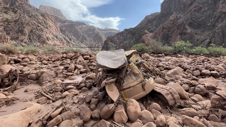
Mangled construction equipment is partially buried in boulders on the canyon floor.
Mud and debris, including a mangled piece of construction equipment, remain after a flash flood in Grand Canyon National Park on Aug. 31, 2026. Katherine Hensel/National Park Service via AP

Anner Paldor, University of Tennessee

Hiking a picturesque valley or climbing a craggy gorge are some of the most exhilarating experiences in nature. As a geologist, I have hiked and climbed some of the most intense terrains in the world, including in the Andes, Middle Eastern deserts, the Balkans and the Appalachians.

I am particularly drawn to canyons that provide beautiful windows into the rock record and the geologic history of a place. However, these narrow valleys can quickly become extremely dangerous when water pours in.

At Grand Canyon National Park in Arizona, at least two hikers died and a third was missing after powerful monsoon storms sent a deluge into one of the narrowest parts of the canyon on Aug. 29, 2026. Two of the survivors who were rescued described seeing the water quickly rise over the trail as they clung to a ledge, fearing they might never see their families again.

People stand on the rim of the Grand Canyon as a storm moves through.
A storm moves into the Grand Canyon. AP Photo/John Locher

So, how do you balance a love for outdoor activity with managing this risk and hike canyons safely?

Why canyons are prone to flash floods

To understand the dynamics of a flash flood, it helps to start with the geomorphologic aspect – understanding the landforms and how they change over time.

In canyons and arroyos – steep gullies common to the Southwest – flash flooding can occur even when the heavy rainfall happens great distances away. A person can be hiking under clear skies in the canyon and not be aware that heavy rain falling upstream or even outside of the canyon means a disaster is unfolding.

The steep gradients and narrow passageways that define these landscapes channel the water, sending vast amounts of it rushing downstream. Under these conditions, water can rise quickly in the narrow space of a canyon.

Timelapse images of the radar shows strong storms upstream and over Bright Angel Canyon ahead of the flood.
Time-lapse radar shows the storms moving over the regions of the Grand Canyon where the flood hit, near Phantom Ranch. Anner Paldor; Iowa Environmental Mesonet

The Grand Canyon flood involved heavy downpours in the heart of monsoon season. The intensity of the rainfall matters in a canyon. Even in arid regions, which generally get low amounts of rain annually, heavy rainfall within a short period of time can create devastating floods.

In 2018, a flash flood in Israel’s Tzafit Canyon – an environment similar to the part of the Grand Canyon where the 2026 flood occurred – claimed the lives of 10 recent high school graduates who were hiking in the canyon.

I grew up in that region and had hiked there many times, and I remember thinking about the incomprehensible suddenness: One moment you are appreciating the breathtaking views of the desert, and within minutes you are fighting a torrent of water you never imagined in such an arid place. A year’s worth of rain fell near the canyon that day.

The hydrogeologic aspect

How well the ground absorbs water also affects flood dynamics. Soils that are highly porous and permeable can transmit water easily vertically into the ground.

However, in arid regions such as Arizona and the Negev Desert, where Tzafit Canyon lies, the dry ground tends to form hardened crusts that make it harder for the water to sink in. That exacerbates surface flooding.

Two people wait on a rocky canyon floor for a helicopter in the distance.
Dozens of people were evacuated by helicopter from the canyon after the flood. Katherine Hensel/National Park Service via AP

What’s more, the lack of vegetation in dry and rocky environments means that water can flow more rapidly down slopes.

What should hikers do to stay safe?

As an avid hiker, I value the beauty of nature and geology that canyons offer, and I believe in enjoying them. However, it is important to understand the risks and to prepare before hiking, climbing or backpacking in these areas.

Carefully study your environment before going in, so you know the risks and the escape routes that will let you get to safety in the event of a flash flood.

An elevation map of the area where the flood happened shows the steepness
An elevation map of the Grand Canyon shows how narrow and steep it is, with 1,500-meter drop over an area less than 5 miles. The white dot shows the location where people were rescued from the flood on Aug. 29, 2026. Anner Paldor; Data Basin, using ESRI, Census Bureau, NOAA, National Ocean Service, National Geodetic Survey, USGS, TomTom, CC BY

Gear up properly. Prepare for your trip so you have the equipment you need. Make sure you have a flashlight with extra batteries, a whistle to signal first responders, and extra clothes in case you get wet. If you know you will be hiking in high-risk water zones, you may consider an inflatable personal flotation device.

Talk to park rangers before going in so you know the current conditions and so someone knows where you’re going.

Always be aware of the weather – not just above you but upstream. Clear skies can be deceptive. An added challenge is that cellular service is often shaky in deep canyons and remote areas. Check the weather forecast before you go down a canyon, not just for the specific location, but also for the surrounding area. The National Weather Service provides warnings of flash floods and other extreme weather events.

When you are in a canyon, a good general guideline is to try to stay as high as possible and to be alert to the sound of an incoming flood. One person described the rush of water in the Grand Canyon sounding like a freight train.

If heavy rain starts, use extra caution and seek higher ground. Be aware that the timing of floods can vary widely – scientists analyzed 74,814 flash flood events in the U.S. and found the average duration was around 3½ hours, but some persisted for more than 48 hours. A flood can start quickly and strand people for long periods of time. Muddy water or debris in a normally clear stream are two signs of flooding developing. Rising water or the distant sound of rushing water is another clear warning to get to safety fast.

There are always risks in nature, but that does not mean you should avoid being out in nature. Planning ahead and hiking with caution and awareness can help you enjoy the beautiful outdoors and come back home safely.

Anner Paldor, Professor of Hydrogeology, University of Tennessee

This article is republished from The Conversation under a Creative Commons license. Read the original article.

ooOOoo

There are a number of excellent tips in this article. The one that stood out for me was making sure that the park rangers know where you are going.

Picture Parade Five Hundred and Thirty-Eight

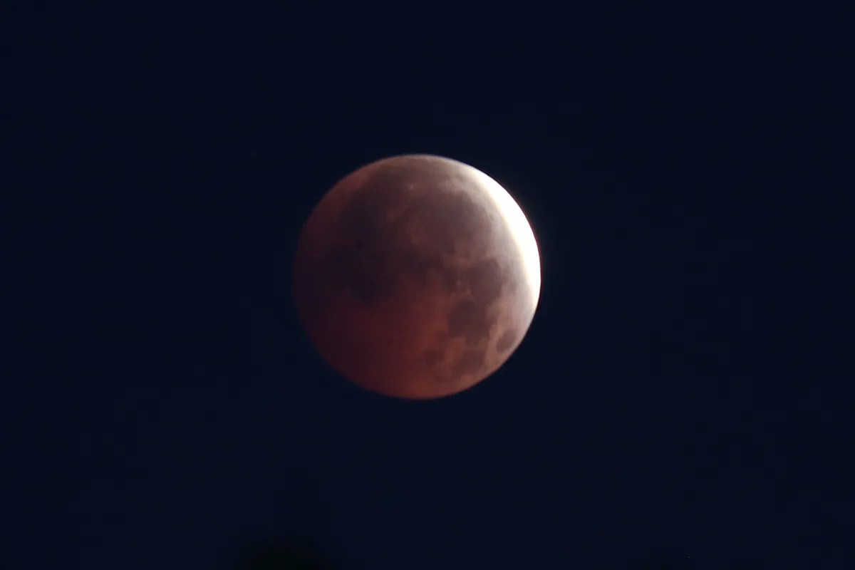
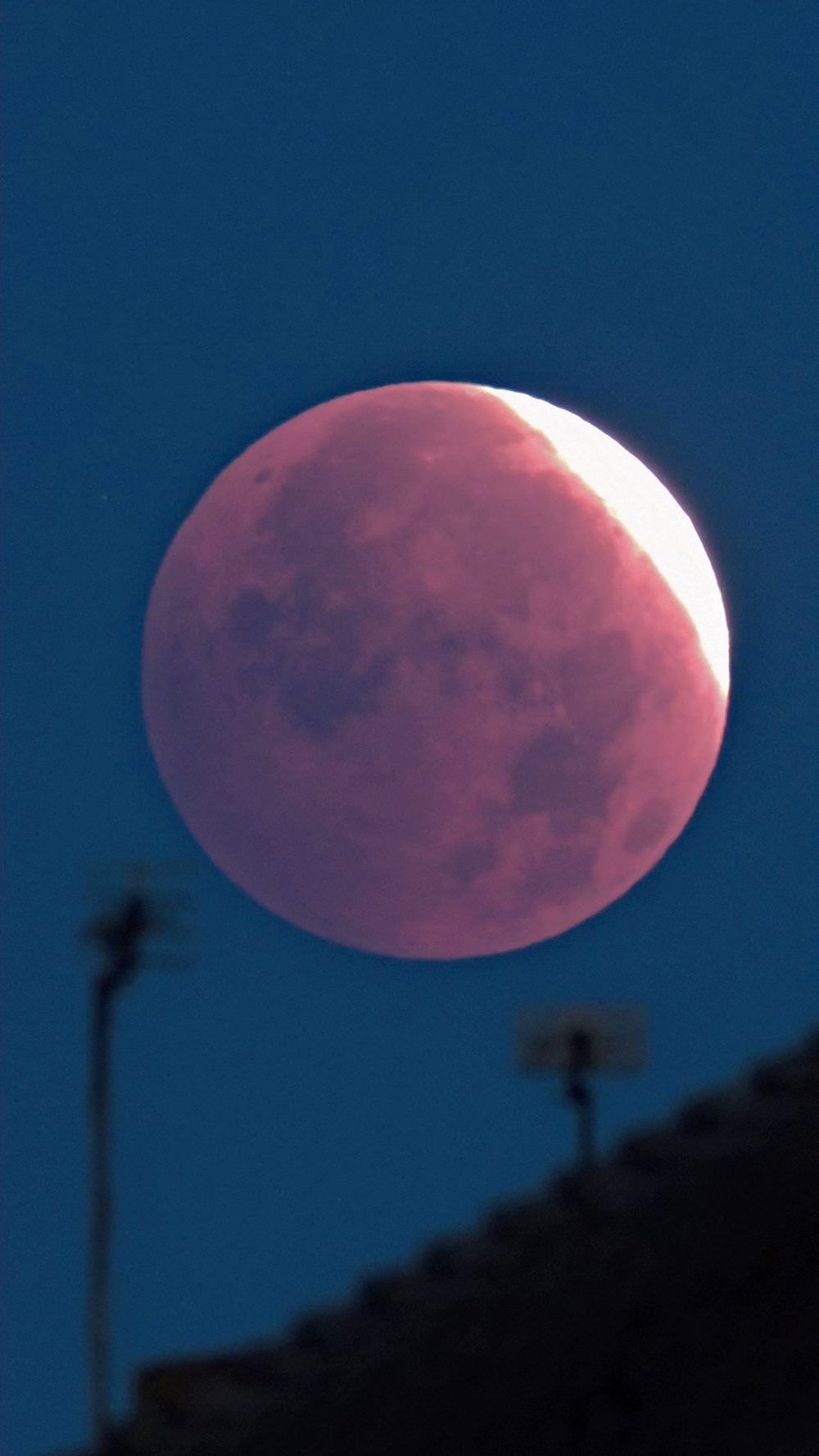
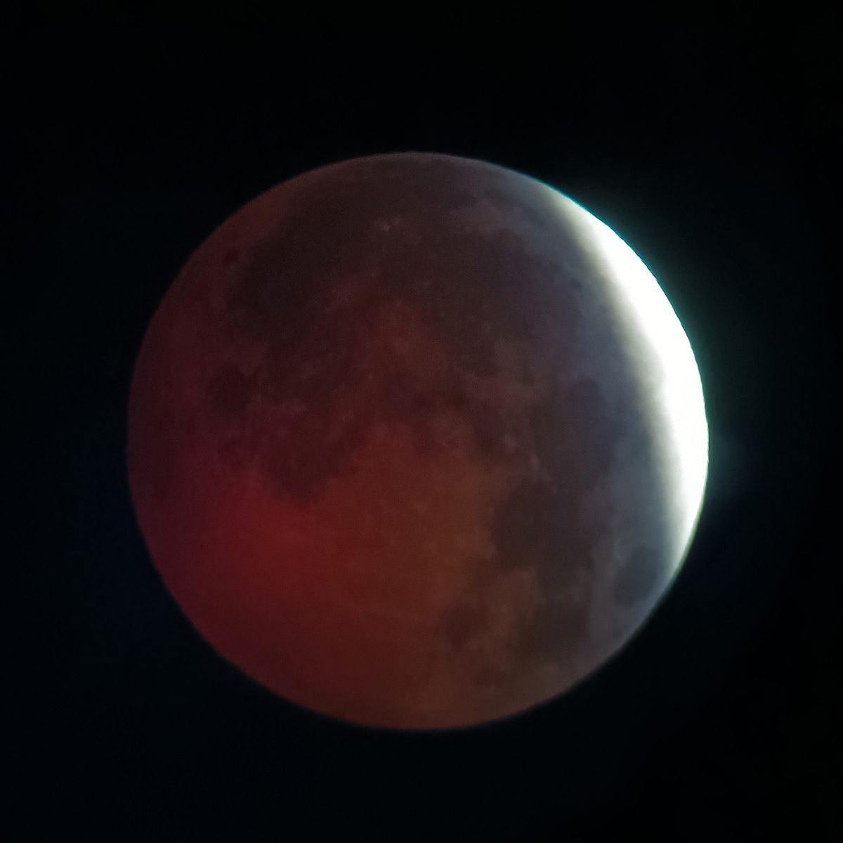
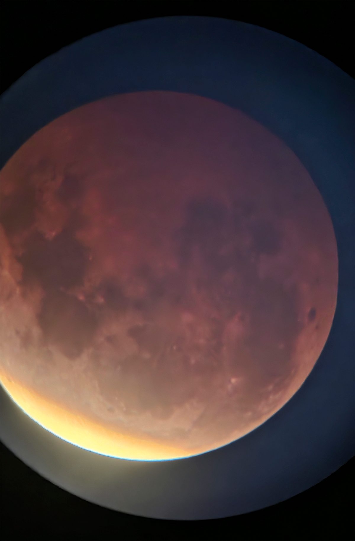
The Lunar eclipse of August 28th.

oooo

oooo

oooo

It is so marvellous that these days all one has to do is to find a good sharing website and download the images!
That wildfire smoke

Where it has come from can make a real difference.

Previous to this week, I hadn’t really thought of wildfire smoke other than it being a nuisance, so long as it did not get too close to home.

However, a recent article on The Conversation changed my understanding, and I bet there are many others out there that will feel the same way as I do.

ooOOoo

From flames to haze, wildfire smoke transforms as it travels, and it can harm your health in different ways

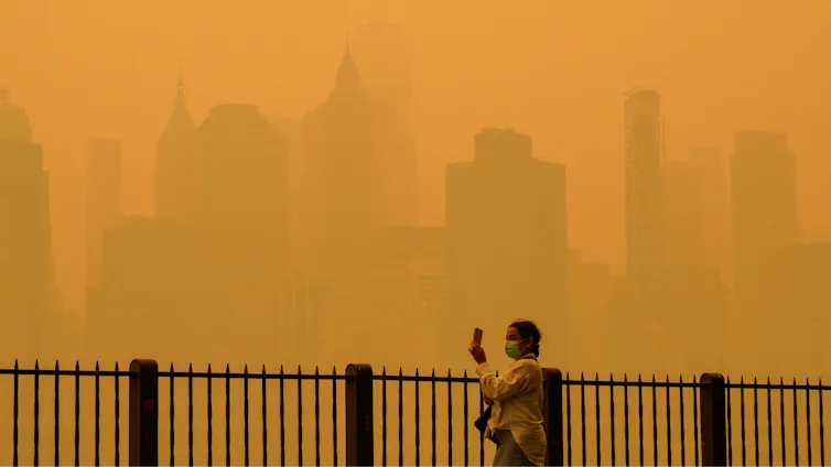
A  person walks along the river holding a phone. Buildings that are normally clearly visible disappear into the haze in New York City.
Wildfire smoke from Canadian fires has turned New York City’s sky a hazy orange several times in recent years. Angela Weiss/AFP via Getty Images

Michael A. Robinson, University of Colorado Boulder

As wildfire smoke plumes travel thousands of miles, sunlight and atmospheric chemistry bleach their color, strip away their campfire aroma and add them to the mix of urban smog.

Smoky skies plagued the East Coast and Midwest again in summer 2026, as wildfires hundreds of miles away forced people to cancel sports practices and run air conditioners around the clock.

Living in the western U.S., I am no stranger to this scene. Wildfires and the thick smoke they produce have become a fixture of summer life here. I also study wildfire smoke as an atmospheric chemist, in particular how the smoke evolves as it moves downwind from the flames to the communities where people breathe it.

To understand what’s in the smoke you might be breathing, you have to look at where it’s been.

A North America map shows how wildfire smoke spreads far from its origin, and stays dense for hundreds of miles.
Wildfire smoke is often too high in the atmosphere to be noticed, but when atmospheric conditions bring it close to the ground, people are left breathing unhealthy particles. Joshua Stevens/NASA Earth Observatory

When a forest burns, the wildfire emits large amounts of fine particulate matter, or PM2.5, along with nitrogen oxides and volatile organic compounds, or VOCs. The compounds and particles emitted by wildfires can harm human health, including the lungs, heart and organs, and include known carcinogens.

How this potent mix of pollutants transforms over time and distance is a complex puzzle. At the NOAA Chemical Sciences Laboratory, our team tracks this behavior, from studying controlled fuel burns in the lab to flying research aircraft through wildfire smoke plumes. Understanding how wildfire smoke ages is essential for predicting its impacts on human health.

It all starts at the flame

The story of smoke begins with how the wildfire burns. High temperature wildfires behave very differently from cool, smoldering wildfires.

Hot, intense flames produce nitrogen oxides, which can harm a person’s respiratory system and contribute to the formation of secondary pollutants and reactive carbon compounds like aromatic hydrocarbons, which can increase the risk of certain cancers with long-term exposure. They also emit smaller amounts of nitrous acid, hydrogen cyanide and isocyanic acid, all of which can be toxic to humans.

Wildfire smoke rising in the distance under a blue sky, viewed from a plane.
Smoke from a wildfire lofts high into the air. As it moves, its chemical composition changes. Steven S. Brown

In contrast, lower-temperature smoldering wildfires release a different mix of compounds, but it is still enriched with toxic aromatic oxygenates and ammonia, which can irritate the respiratory system. This isn’t to say that these wildfire emissions are safer for human health, but rather that burning conditions dictate the chemical makeup of the smoke and its subsequent chemical fate.

Wildfires are rarely just one or the other; they are dynamic mixtures that shift throughout the day as air temperatures rise, humidity drops or evening thunderstorms roll in.

The inside of a small plane filled with racks of instruments and one passenger seat.
The Twin Otter research planes that National Oceanic and Atmospheric Administration scientists use to study wildfire smoke are packed with instruments. Steven S. Brown

Once smoke leaves the flames, three main factors govern its journey: wind speed, atmospheric temperature and sunlight.

Think of a campfire. If you are sitting in the wrong spot, the prevailing wind blows smoke directly in your face. This horizontal movement is called advection. Small fires often don’t generate enough heat to loft their smoke high, meaning you can smell your neighbor’s campfire.

However, massive wildfires generate immense heat and powerful upward winds. This buoyancy acts like an elevator, lifting the smoke plume out of the planetary boundary layer and injecting it into the free troposphere, roughly 1.2 miles (2 kilometers) above the ground. Up there, high-altitude winds take over, transporting the smoke thousands of miles across the continent.

A large smoke plume rises high into the atmosphere
A large smoke plume rises high into the atmosphere. Michael A. Robinson

On occasion, wildfire plumes can generate their own weather, making smoke-laden pyrocumulonimbus clouds, which can inject large amounts of particles into the stratosphere.

How sunlight ‘ages’ the smoke

As smoke travels, it undergoes rapid physical and chemical changes.

First, the plume dilutes as cleaner background air mixes into it. Close to the fire, the smoke is dense and opaque. As it moves downwind, it spreads out and grows more diffuse.

Second, intense sunlight acts as a chemical engine. Solar ultraviolet photons break apart bonds in molecules, creating radicals, which oxidize VOCs. Nitrogen oxides play a key role in driving this chemistry.

Within just hours of being emitted, this mixture reacts to form ground-level ozone, which can irritate the lungs and is a key component of smog.

The wing of a research plane with the orange sky against the smoke plume and blue sky below behind it.
When the Sun shines through thick wildfire smoke, it turns the sky a dirty orange. Steven S. Brown

If smoke is lofted high, into cold free tropospheric air, the chemical aging process can temporarily freeze. The smoke can remain chemically fresh until the air parcel sinks closer to the surface, below about 1.25 miles (2 kilometers), where warmer temperatures can restart the chemical reactions.

When an aging smoke plume passes over a major city, it can mix with urban pollution, such as car exhaust. This interaction can rekindle chemical reactions, creating additional local ozone on top of the fine particulate matter emitted from the fire.

Why distant smoke smells and looks different

Have you ever noticed that long-distance wildfire smoke doesn’t smell like a campfire? There is a chemical reason for that.

The specific compounds responsible for the classic smoky aroma of a campfire – phenolic compounds like guaiacol and syringol – are highly reactive. Sunlight and the associated chemistry destroy them in a matter of hours. By the time the smoke has traveled across several states, the smoky smell is completely gone.

Sunlight also alters the color of the smoke through chemical bleaching of aerosols. Fresh smoke contains dark brown and black carbon particles that absorb light. Over several days of exposure to sunlight and oxidants, chemical reactions break down these dark compounds.

A lifeguard on a stand on a beach. The smoke is so thick, a sailboat is barely visible in the background.
A sailboat passing a lifeguard stand along Chicago’s Lake Michigan is obscured by Canadian wildfire smoke that blanketed the city on July 16, 2026. Scott Olson/Getty Images

The result?

Dark, light-absorbing particles turn into light-scattering particles, transforming dark, dense plumes into the milky white haze seen drifting across the eastern skies. These particles efficiently scatter the blue and green light while letting red and orange wavelengths pass through, creating the uncanny feeling of an all-day sunset.

The wildfire smoke inhaled hundreds of miles downwind is chemically distinct from the smoke that left the flames, but it remains a serious health threat and an area of active research. Consequently, smoke transport and its associated atmospheric chemistry represent a major North American air quality issue, one projected to intensify in the coming years.

Michael A. Robinson, Research Scientist in Atmospheric Chemistry, University of Colorado Boulder

This article is republished from The Conversation under a Creative Commons license. Read the original article.

ooOOoo

As you can see from the second image, the map of wildfire smoke, here in Oregon there has been substantial smoke, albeit because we live to the west of the Cascades, we have not been directly affected.

However, the summer of 2027 is predicted to be an even drier period than this year, and the potential for wildfires and the associated smoke is a problem that is not going away.

Picture Parade Five Hundred and Thirty-Six

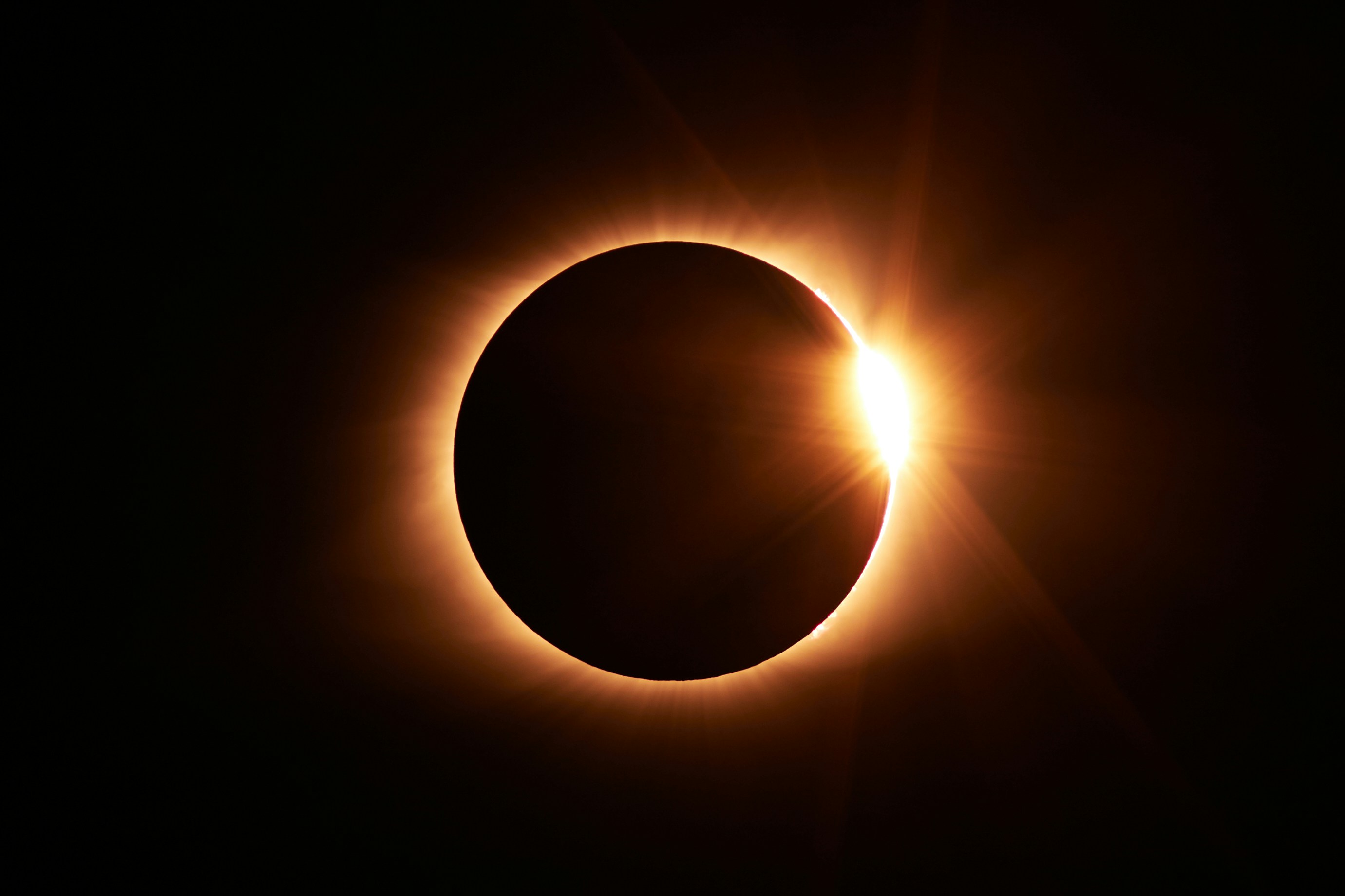
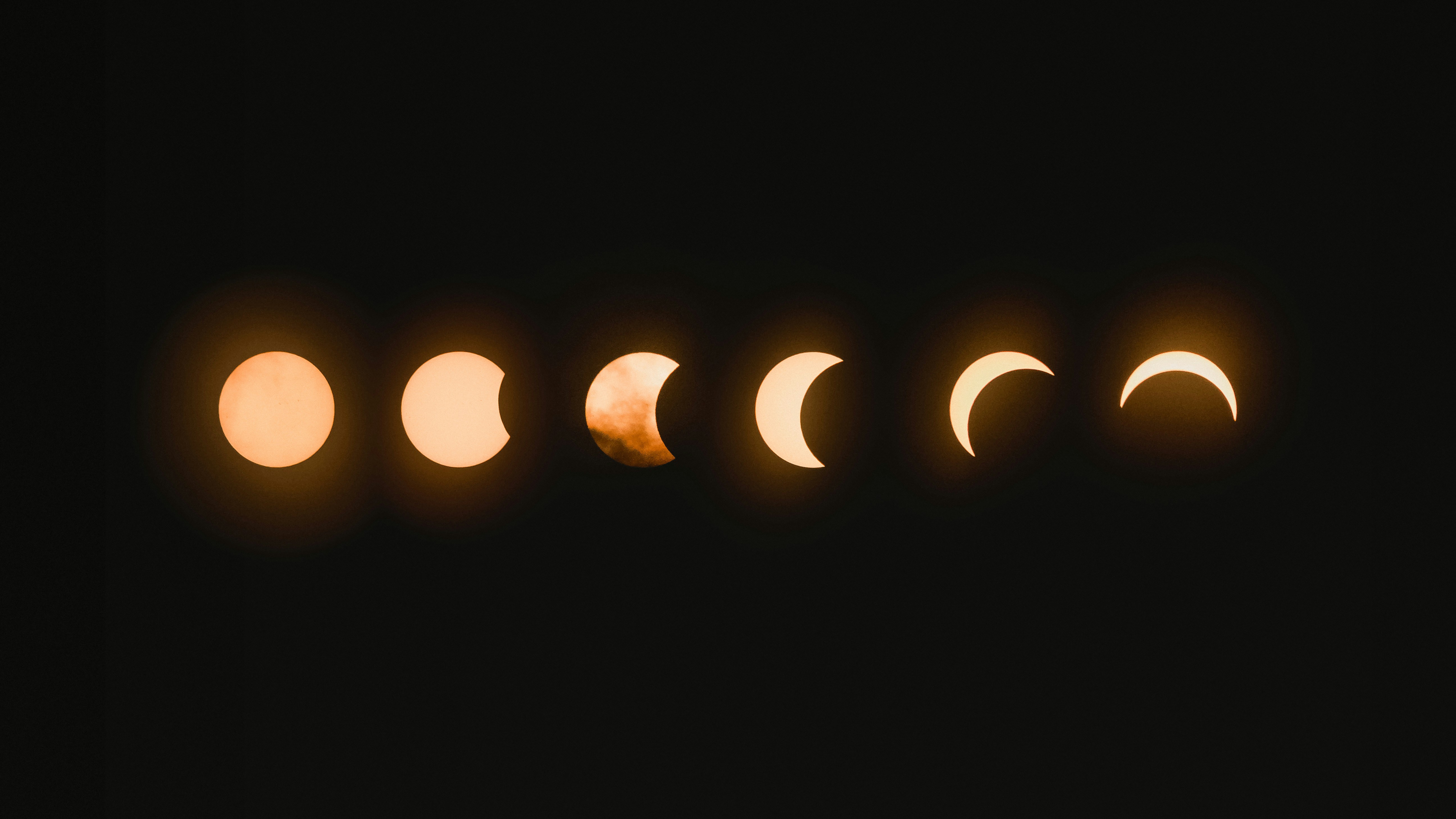
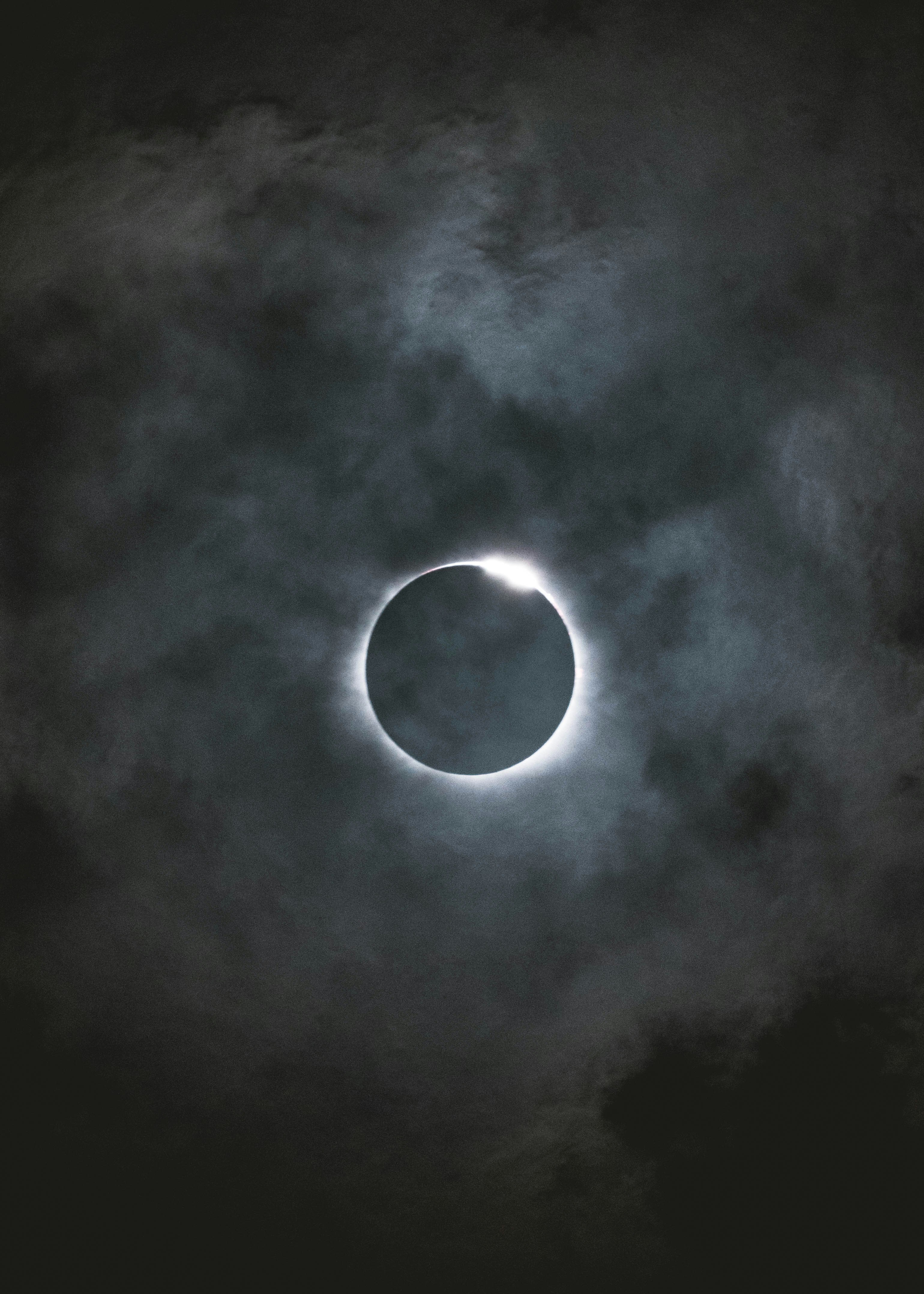
Pictures of the 2026 Solar Eclipse.

Photo by Jongsun Lee

oooo

Photo by Mark Tegethoff

oooo

Photo by Jordon Conner

Just the three, but I thought they were the best.

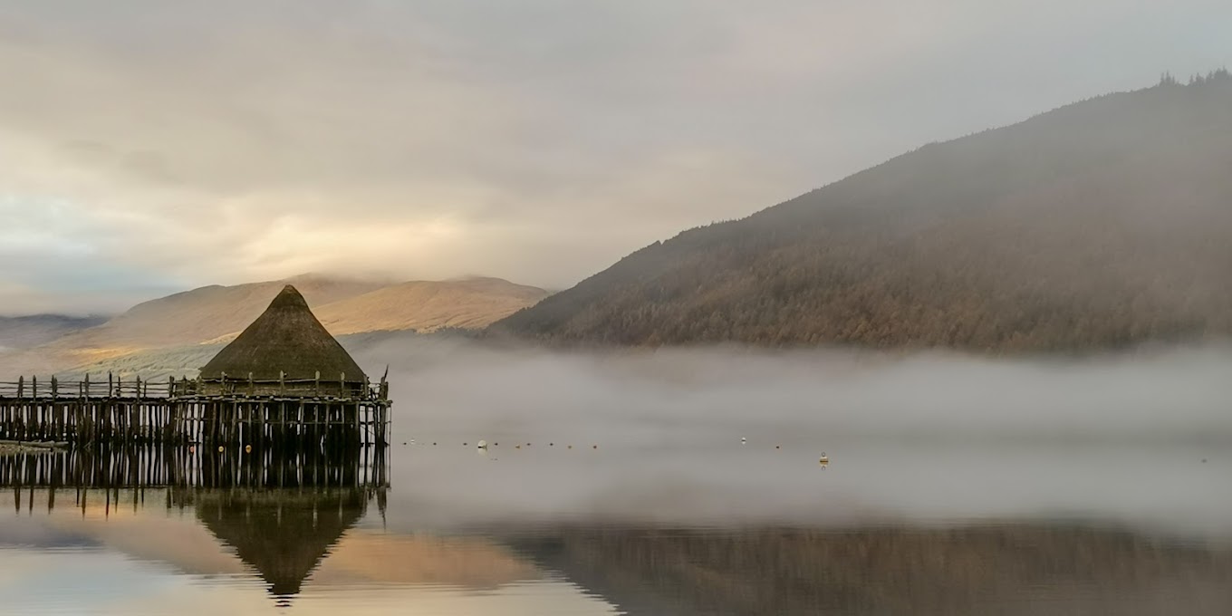
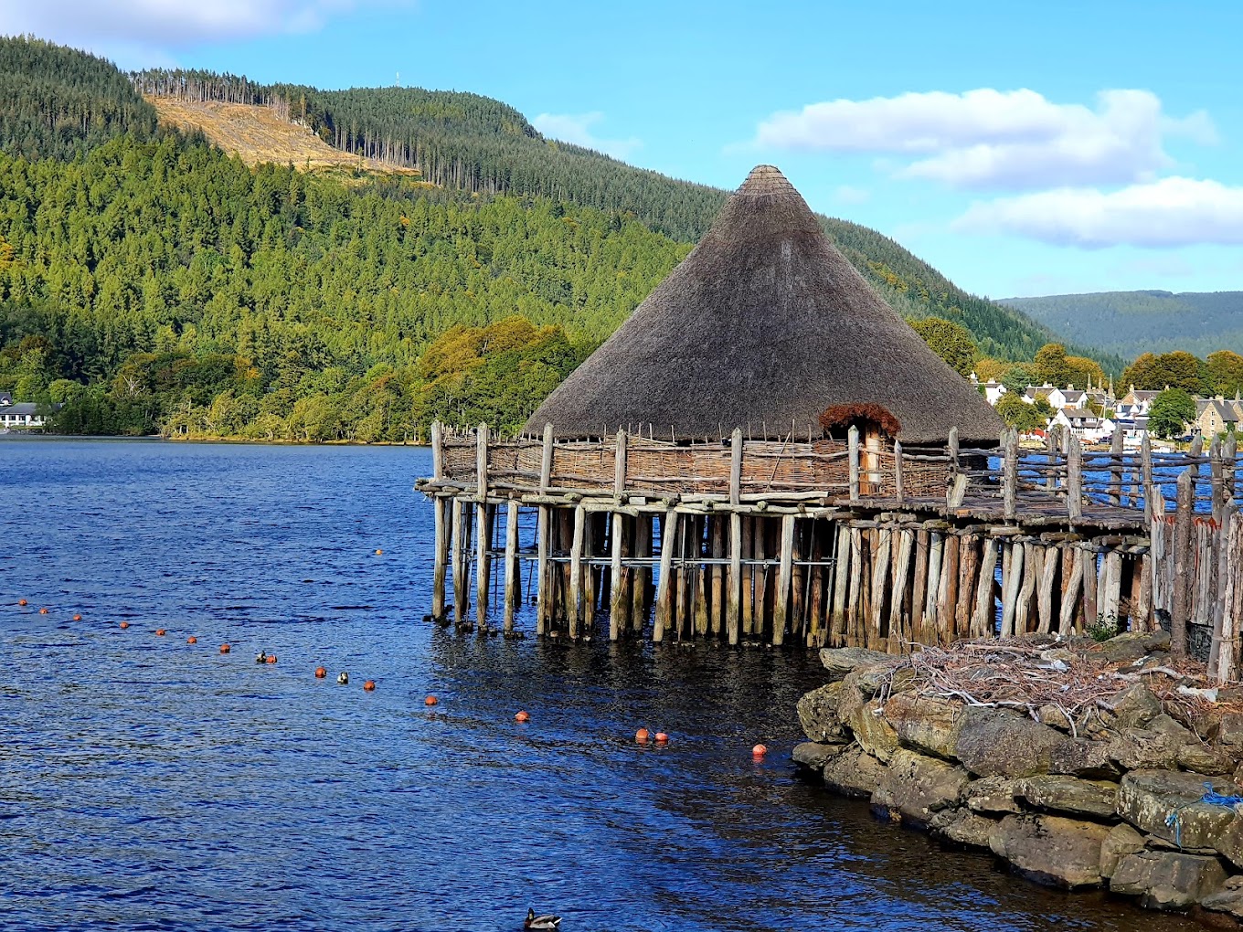
The Scottish Crannog Centre

Sustainable Thinking through Time and Place.

Recently I listened to a programme on BBC Radio 4 about sustainable building. Then I saw that this item had been posted as a pdf and it was available to be shared. Here it is.

ooOOoo

By using materials that compost and breakdown into compounds that ecosystems can handle, we are in essence relearning from the people of the Iron Age. Our imprint on the land around us should not adversely affect those that come after.

The Scottish Crannog Centre has always been rooted in experimental archaeology. Oakbank Crannog, which was located on Loch Tay was excavated in the 1980s. During the late 1990s, a one-to-one reconstruction of Oakbank Crannog was built, four miles downstream at the original Scottish Crannog Centre site. The preservation at Oakbank was extraordinary, with the anaerobic conditions allowing many artefacts that would normally decay to survive intact.

In 2018, the organisation became an accredited museum, a fundamental step towards the ambitious desire to become a sector leading museum. With this change came the appreciation that our responsibilities would become broader and wider; our guardianship of the collection for future generations would need to improve and the responsibility to engage with communities would become more important.

Our vision is to be a national treasure loved by all, with social justice at its heart. This acts as our North star and is our guiding light, as Figure 1 highlights. Our mission is to bring the story of the crannog dwellers to life, through the use of our collection and community engagement. Our values of compassion, curiosity and respect help us to carry out this mission. This is seen in our activism, where leadership runs right through the organisation, where the right person in the right place is able to make the decision. We also acknowledge that the abundance is on the outside, and it is only by having strong partnerships with other people, organisations, and communities that the Centre can bring the collections to life.

These changes paved the way and set the foundations for a redevelopment project. The small size of the existing site prevented expansion, and in the long term, the existing site was not sustainable. As a result, in June 2020, the Trust was successful in its application for Community Asset Transfer to buy a new site from Forestry Land Services. The site is located on the other side of the loch from the existing centre, a mile closer to the original Oakbank Crannog site. The proposals for the new centre, embedded within its social and environmental heritage, with co-curated displays and plans to create community-built crannogs, was so strong that the Trust was granted the land for the token sum of £1. This was followed by the securing of £2.3m of Scottish Government funding over two financial years for the delivery of the first phase of the development, supported by the vision of the Scottish Government that the Scottish Crannog Centre becomes a National Museum.

In June 2021, the iconic reconstruction of Oakbank Crannog was destroyed by fire. The outpouring of support from friends near and far was tremendous, and resulted in fundraising campaigns, offers of labour and raw materials, offers of professional services, and much more. Just as the people who lived in Oakbank Crannog 2500 years ago were almost surely grateful to be able to rebuild, we are thankful no one was hurt, we are thankful we have most of our belongings, and now we look forward to rebuilding a crannog once again. The fire meant that the move to the new Dalerb site had to be accelerated. The development was split into two phases and the first phase must now be fast-tracked. While the fire was devastating for all involved it gave us a unique opportunity to reassess our vision and look ahead to the future.

Our new aim is to become Scotland’s most sustainable museum, with a desire to move from sector leading to sector defining. We will do this by embracing the four areas of sustainability: economic, social, environmental, and human. These four areas have now been taken to the core of the Trust and incorporated into the four-branched model of the organisation. These branches are:

  1. A trusted Partner that organisations and individuals want to work alongside. A special Place people want to visit and support.
    2. A Place of choice to work and grow.
    3. A Place that belongs in, and cares for, its environment.

Each branch of the model does not represent a specific or single area of sustainability, even though some have a greater focus on a certain aspect. The branches entwine and combine with themselves to create a sustainable system that gives structure, whilst also allowing for flexibility. This also allows us to think both about short- and long-term sustainable goals as we move forward with our development plans. As we look to the future, sustainable thinking must become the norm. With the current climate emergency, there is a clear need for a change in the way we interact with our environment; but it also goes deeper and broader than that. It also must ensure that people are treated fairly, and they have the space to be who they are and are allowed to grow. To ensure that this is possible, financial stability must be considered but it should not be the sole driving factor in decision making.

We have already made some progress on our sustainable journey which is highlighted by:

  1. Becoming an accredited employer with the Real Living Wage Scotland initiative. Becoming a Disability Confident Employer and Leader.
  2. Implementing a digital-focused marketing system, shifting away from paper. Committing to the Young Person’s Guarantee framework.

Working with Universities through Interface, hosting 19 projects with students providing consultant work on going paperless with marketing, sustainable business models and branding.

Creation and delivery of an apprenticeship scheme, where young people can explore and gain experience of a wide range of crafts as well as learning life and career skills.

The new development will allow us to do more. Phase one of Dalerb will focus on moving the collection to its new home, expanding our capacity to deliver an exceptional visitor experience, and using the archaeological record to inform the construction of an Iron Age village, roundhouse, and crannog. With this move we have been able to consider the sustainable practices that the people from 2500 years ago would recognise themselves.

The museum’s ‘Ideas’ collection is a place that shows the skills and materials that will be needed in the construction of the Iron Age buildings. The way that the timbers that were used as uprights in Oakbank crannog show that there was a level of sophistication to their design, with the alder being placed in upside down to extend the life of the timbers. From this we can interpret that the people of Oakbank crannog had excellent woodworking skills. These skills would have been taught for each generation to be able to construct and maintain buildings of their own.

As part of our reconstruction, we will be emulating many of the same actions that the crannog dwellers of 2500 years would have practiced. The materials that we have source have come from as local as possible. The stone from Kenmore, the reed has come upriver from Errol and the timber from Drummond Hill.

We will also learn new skills and techniques while building that will use the resources to their fullest. Working with experts in thatching, dry-stone walling, and turf-roofing, we learn the skills needed to be able to repair and maintain the buildings. Alongside this our apprentices will also be developing their skills in green woodworking, allowing for that knowledge to carry on to a new generation.

We will also be engaging with communities during the construction, with 1000 fingerprints helping to create the new Centre . The Cross-Cut Co-op will be leading part of the build, a women’s woodworking co-operative. They will be working with volunteer groups from a variety of interests and backgrounds, helping to teach new skills and giving people the chance to try their hand at something new.

The nature of the materials that were used during the Iron Age do not survive well, outside of very specific conditions. This contrasts with modern day materials that take hundreds of years to degrade. By using materials that compost and breakdown into compounds that ecosystems can handle, we are in essence relearning from the people of the Iron Age. Our imprint on the land around us should not adversely affect those that come after.

Through all this work we still need to look towards the future and consider more ways that the Centre can embrace sustainable practices. With the skills that will have been developed from the build we will be able to teach more people how to thatch, stone-wall and work wood allowing these traditional skills to prosper.

We will also have the unique opportunity of producing our own resources for the site, with the creation of a coppice on Drummond Hill. This will give us a sustainable source of wood to use in the maintenance of the Iron Age structures. We will also start our own forest garden, using permaculture principles, that will allow us to supply our cafe with locally grown produce.

With all this we will also look at the more modern issues facing the museum. We will look at how to decarbonise transport links by working with partners, move towards a zero-waste site and explore the opportunities for the centre to generate its own electricity.

As a museum we are in the privileged position of inviting our visitors to see the belongings of the people who lived on the shores of Loch Tay 2500 years ago. When those visitors leave, we hope they gain an appreciation for not only the people but the skills and knowledge that they possessed. As we continue our sustainable journey, we will show everyone how sustainable ideas and practices can be incorporated into everyday life, allowing people to see sustainability in action and moving us all towards a fairer future.

ooOOoo

I appreciate that many people, especially those not born in the U.K., may find this article not of interest. Here are some pictures with more appearing on Sunday.

oooo

oooo

oooo

oooo

Picture Parade Five Hundred and Thirty-Four

Just three photos of the deer in our back garden, and then the moon.

oooo

oooo

oooo

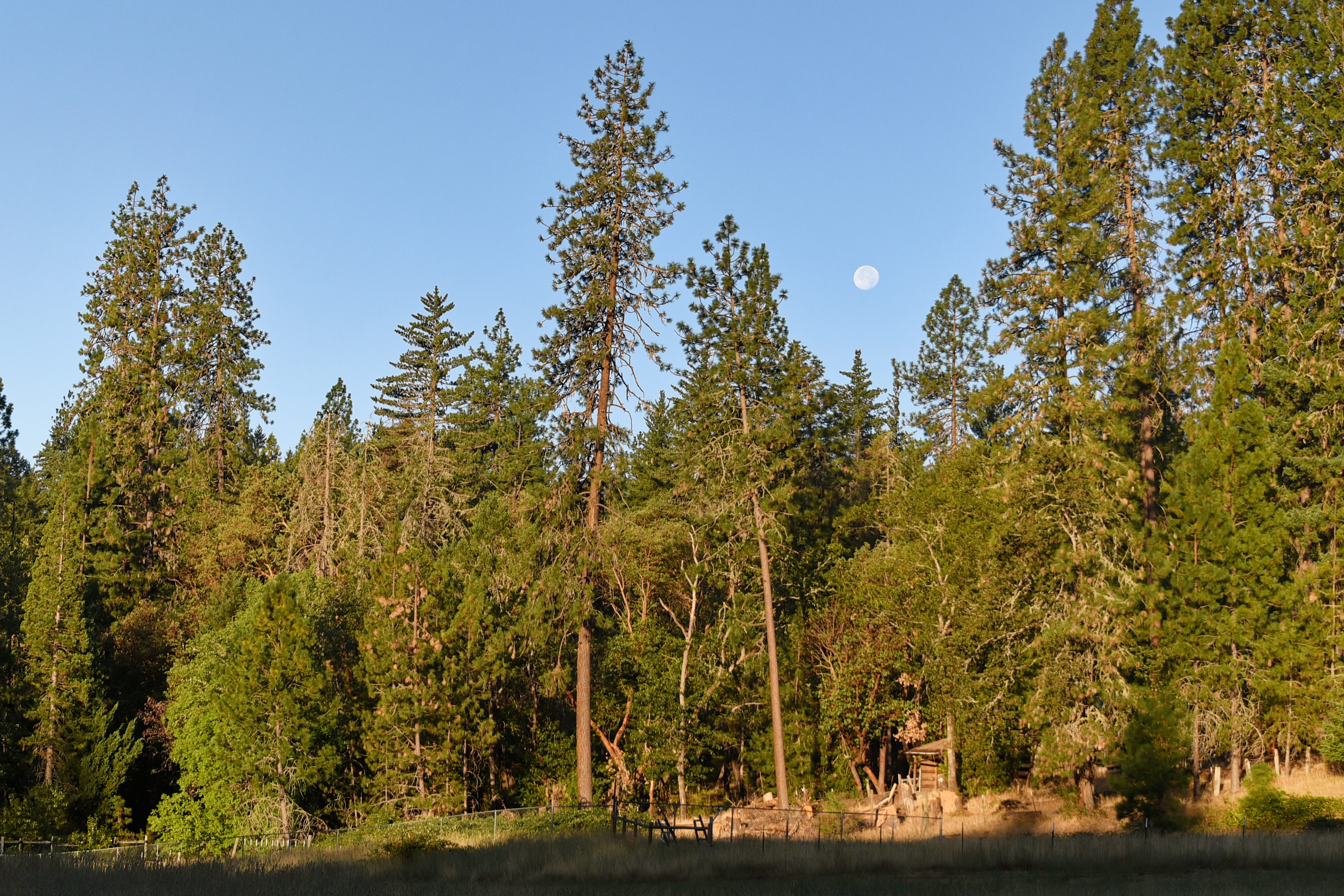
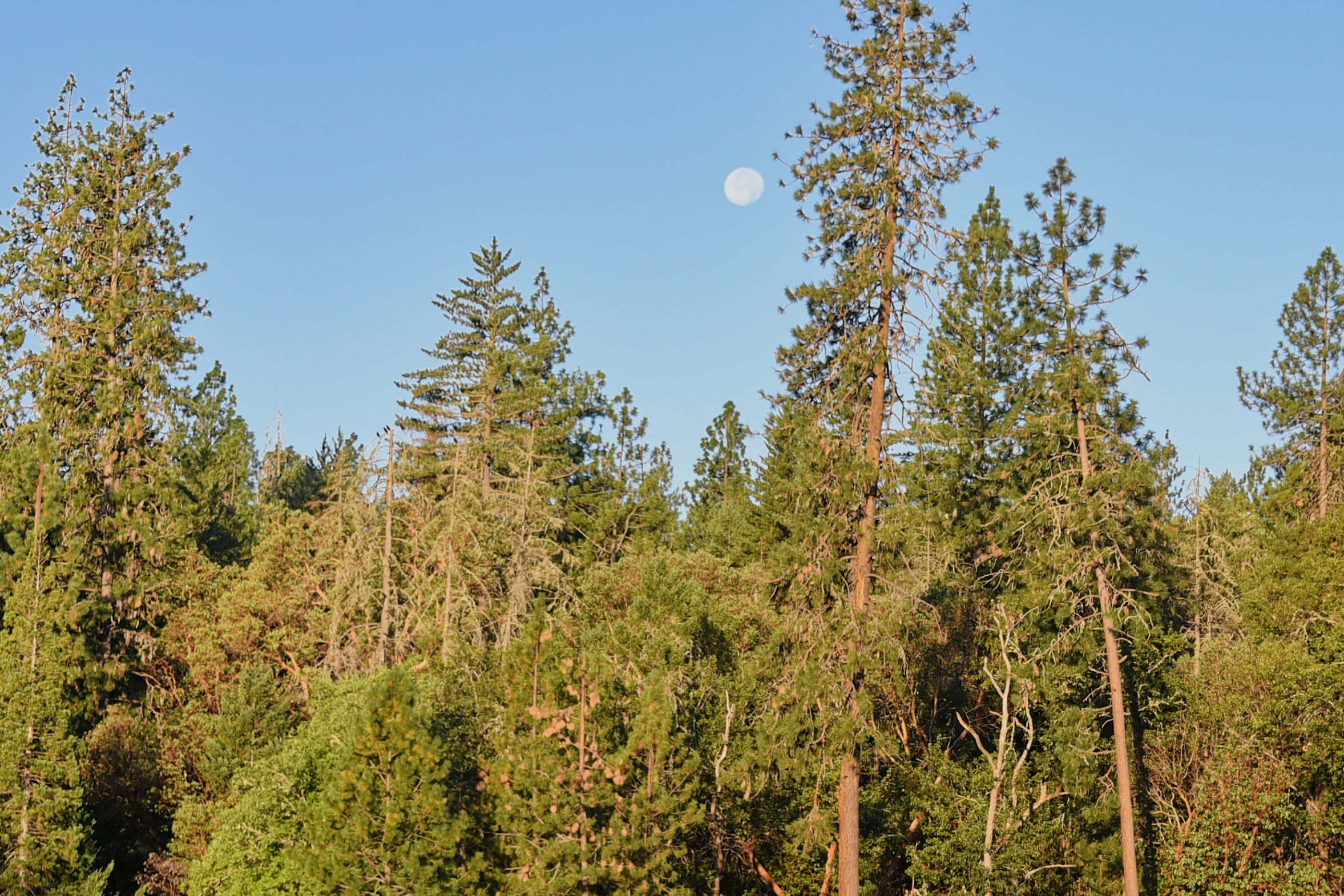
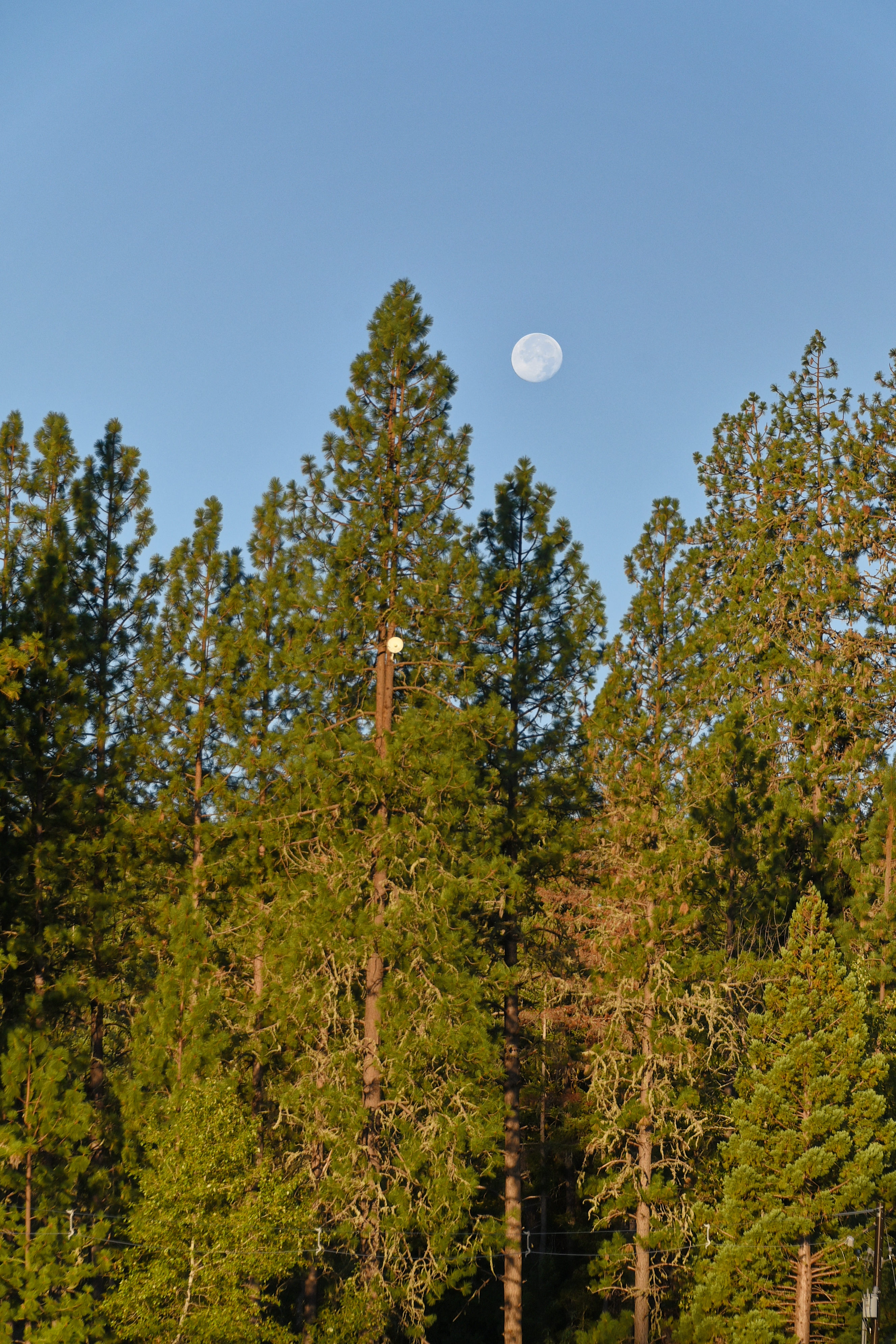
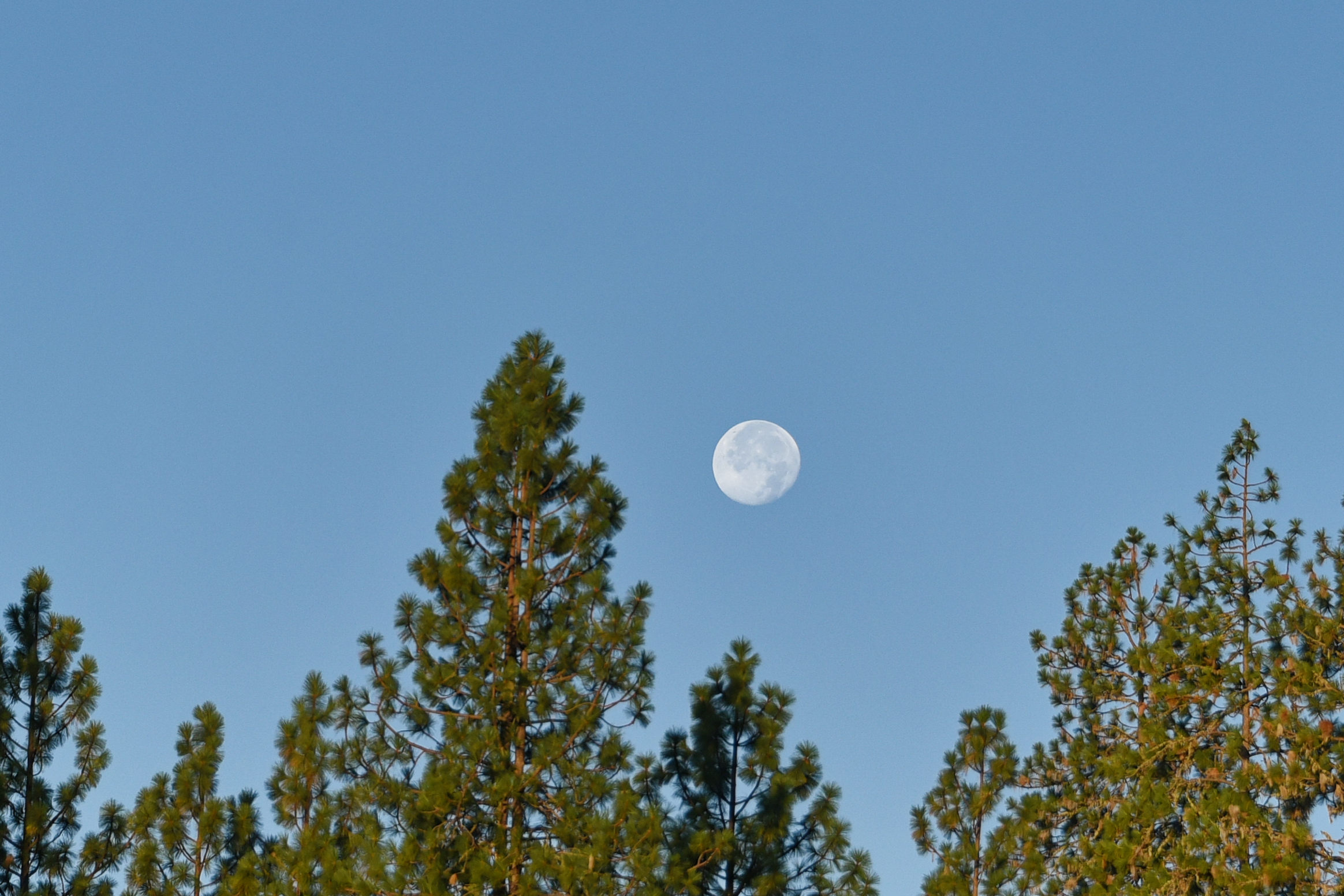
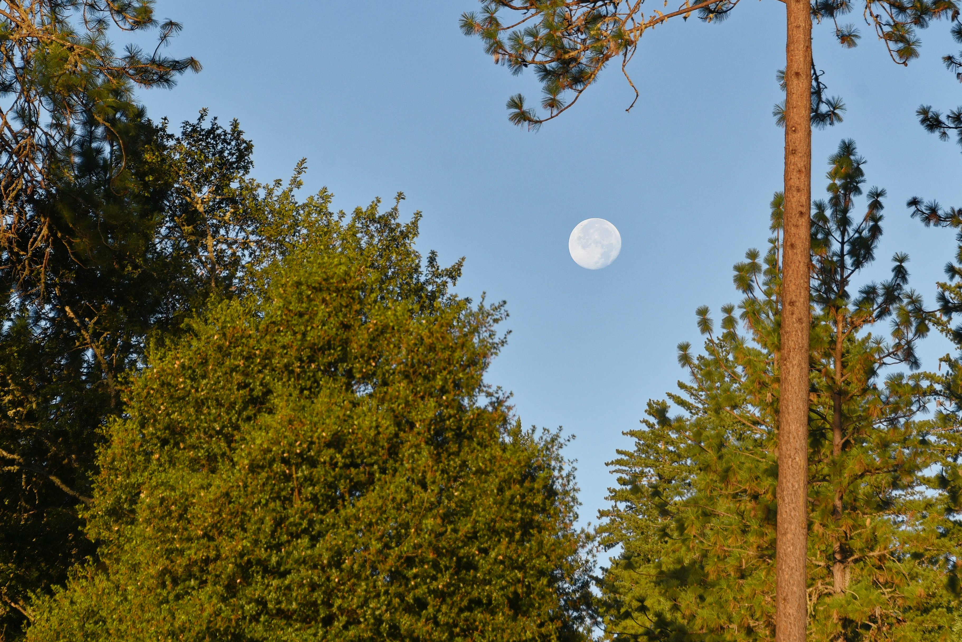
Now to the moon, taken last Friday.

oooo

oooo

oooo

oooo

oooo

It was impossible to resist taking these photographs of the moon.

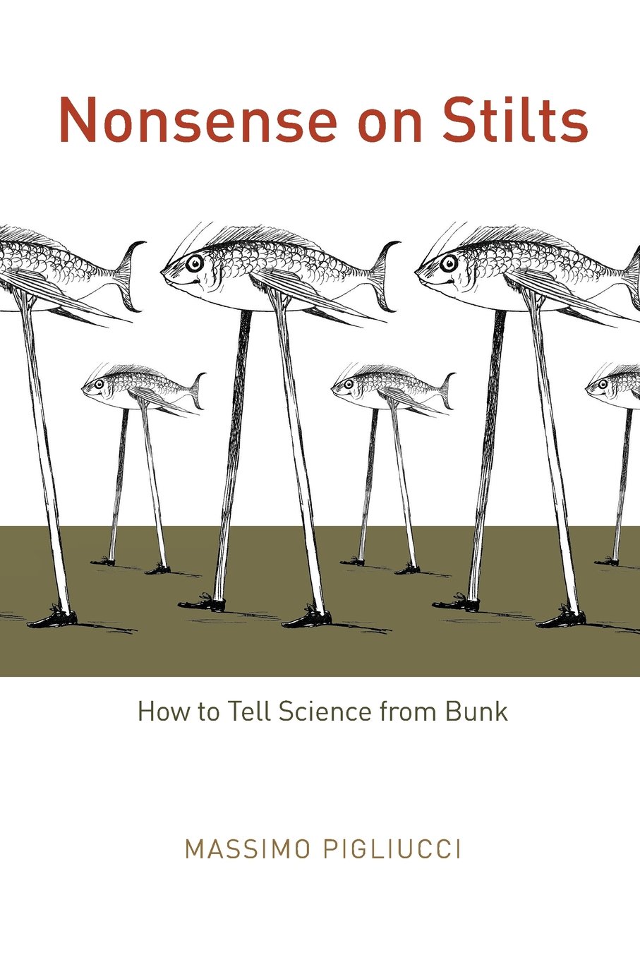
Nonsense on Stilts

The book by Massimo Pigliucci.

The subtitle of the book is “How to Tell Science from Bunk

I am up to page 48 and I read something that is so obvious but had not occured to me before now. I have spoken to friends and they, too, had not realised this.

Namely, that the fact that “…. a variation on the old latitudinal hypothesis ….. explains a major causal factor explaining the rise of more successful civilizations in Euroasia, say, than in sub-Saharan Africa or on the American continent, is that Euroasia expands along an East-West axis.

This East-West expansion provides greater opportunity for the invention of agriculture and the domestication of, say, the horse. Simply because feed crops are easier to grow owing to the smaller change in weather patterns. Unlike, the North-South expansion, where there is the problem of having to adjust to different weather towards the North or towards the South.

Here is the book from Amazon.

Version 1.0.0

It is a very interesting book.

The wildfire smoke

A useful article from The Conversation.

When I first read this article, I thought everyone will be aware, such is the awareness of wildfire smoke in so many places, and media.

Then I realised that this was wrong, and if only one or two people benefit from the advice then it should be republished. The original was on The Conversation.

ooOOoo

Yes, breathing wildfire smoke can harm your health – here’s what you can do to protect yourself

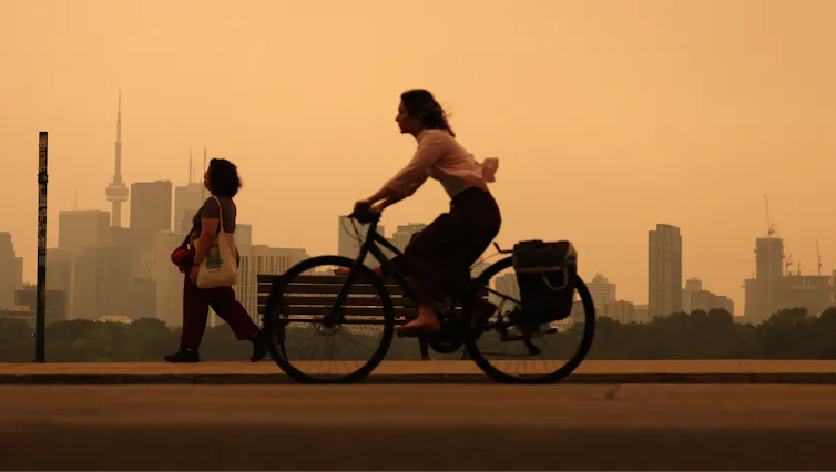
A woman rides a bike through city air tinted orange by wildfire smoke. Neither she nor a woman walking in the background is wearing a protective mask.
Heavy wildfire smoke from Canada’s forests turn skies orange in Toronto and across parts of the U.S. in July 2026. Steve Russell/Toronto Star via Getty Images

Colleen E. Reid, University of Colorado Boulder

Wildfire smoke from fires burning in Canada and northern Minnesota has been pouring across the Great Lakes and northeastern U.S. states, turning skies an eerie shade of orange. In the West, smoke has also been spreading into communities in Colorado and neighboring states as more wildfires burn in hot, dry conditions in July 2026.

University of Colorado environmental health researcher Colleen Reid explains what’s in that smoke and why breathing it is a health concern everyone should be aware of.

What is in wildfire smoke?

Wildfire smoke is a complex mixture that includes nitrogen oxides, volatile organic compounds, polycyclic aromatic hydrocarbons, carbon monoxide, carbon dioxide and particulate matter. When homes or buildings also burn, they can release an even more toxic stew of chemicals from burning electronics, furniture, plastics, paints and much more.

What you see when you see a smoke plume or when the air is hazy with wildfire smoke are the tiny particles that are too small to fall to the ground right away with gravity.

These particles, which scientists call particulate matter, are very small – we measure them in microns. When you breathe them in, they can harm your health. The smaller the particles, the deeper they can get into your lungs and body.

Map shows heavy smoke and low air quality across the Great Lakes Region and into the Northeast
EPA air quality monitors show high risks from smoke in many parts of the Great Lakes and northeastern U.S. on July 15, 2026. Reds are considered very unhealthy levels. Purples are either extremely unhealthy for light purple or hazardous for areas in maroon. AirNow Fire and Smoke Map

You may have heard the term PM2.5. It means particles that are 2.5 microns or smaller in diameter, many times smaller than the width of a human hair. High concentrations of these particles in the air during wildfire smoke episodes are what trigger air quality alerts.

Has wildfire smoke been increasing recently, and why?

Yes, wildfires have become more frequent and more intense just in the past couple of decades, and when wildfires become more frequent and intense, so does the smoke.

Scientists have found that wildfires are becoming more frequent due to a variety of factors that include increases in fire weather – hot, dry, windy conditions that fuel the spread of fires due to climate change – as well as other natural and human factors. The reasons for the increases in wildfires vary in different parts of the world.

Other studies have found that wildfire smoke makes up an increasing portion of the PM2.5 in the air in the U.S., and in many areas it is offsetting the decreases in air pollution that the U.S. has gained through regulations of industrial and vehicle emissions under the Clean Air Act.

How could wildfire smoke affect my health?

Some effects of breathing wildfire smoke include shortness of breath, coughing, itchy or watery eyes, headaches, rashes and itchiness. But smoke can cause more serious harm. Numerous epidemiological studies have shown that hospitalizations and emergency department visits for asthma and other respiratory diseases increase during wildfire smoke events.

After you breathe in the particles, they cause inflammation and oxidative stress, and they can move into the blood and spread throughout the body, affecting other organ systems.

People stand in a field as a smoke plume turns the sky orange and then dark.
The height of a smoke plume, like this one from Colorado’s Aspen Acres fire near Pueblo on July 1, 2026, affects the amount of particles and chemicals people on the ground are exposed to. But generally, if you can smell smoke, you’re breathing it in. Michael Ciaglo/Getty Images

Breathing wildfire smoke has been associated with higher risk of preterm births and other issues during pregnancy, and potentially cardiovascular problems such as heart attacks and strokes, although the evidence for these effects are more mixed.

The longer-term health effects of wildfire smoke are less clear, but it is a growing area of research.

Where can I learn more about wildfire smoke risks where I live?

The first thing to do to protect yourself from wildfire smoke is to know how bad the smoke is and how long it is going to last.

One great place to get information for where you live on current wildfire smoke is fire.airnow.gov. You can zoom in on the map to where you live and find color-coded circles reflecting data from both U.S. EPA air-quality monitors and PurpleAir sensors that people have put in their homes.

The colors show the level of PM2.5 at that location and suggest the associated health risk.

To find out how wildfire smoke is expected to change over time in North America, you can look at maps from FireSmoke Canada and the U.S. Interagency Wildland Fire Air Quality Response Program.

What can I do to protect myself and my family from wildfire smoke?

First of all, depending on the level of the air quality index where you are, there are different recommendations. When wildfire smoke reaches unhealthy levels, stay indoors as much as possible, with doors and windows shut to keep the wildfire smoke out.

If you have an air cleaner, use it, but check the filter, as filters can fill up quickly. Similarly, check the filter on your home HVAC system and replace it if needed.

If you have to go outside, consider wearing a well-fitting N95, KN95 or KF94 mask. These masks can protect you from inhaling particles in the air around you. Looser masks, such as surgical masks, mostly protect others from what you breathe out instead. They do not have a tight seal around your mouth, and when you breathe in, the air with all of the particles can find its way around the sides of the mask.

Having a tight fit of the mask to your face is important so that when you breathe, the air is going through the mask and capturing the smoke particles rather than letting them into your body where they cause harm.

If your home is leaky and you can see haze inside, consider going to a public space, such as a library or mall, with a good HVAC system. Some municipalities have designated clean air spaces where anyone can go.

Colleen E. Reid, Associate Professor of Geography, University of Colorado Boulder

This article is republished from The Conversation under a Creative Commons license. Read the original article.

ooOOoo

Thank you, Colleen, and thank you The Conversation. Lots of good advice.