Category: Climate

A sudden rainstorm, here at home

The power of water.

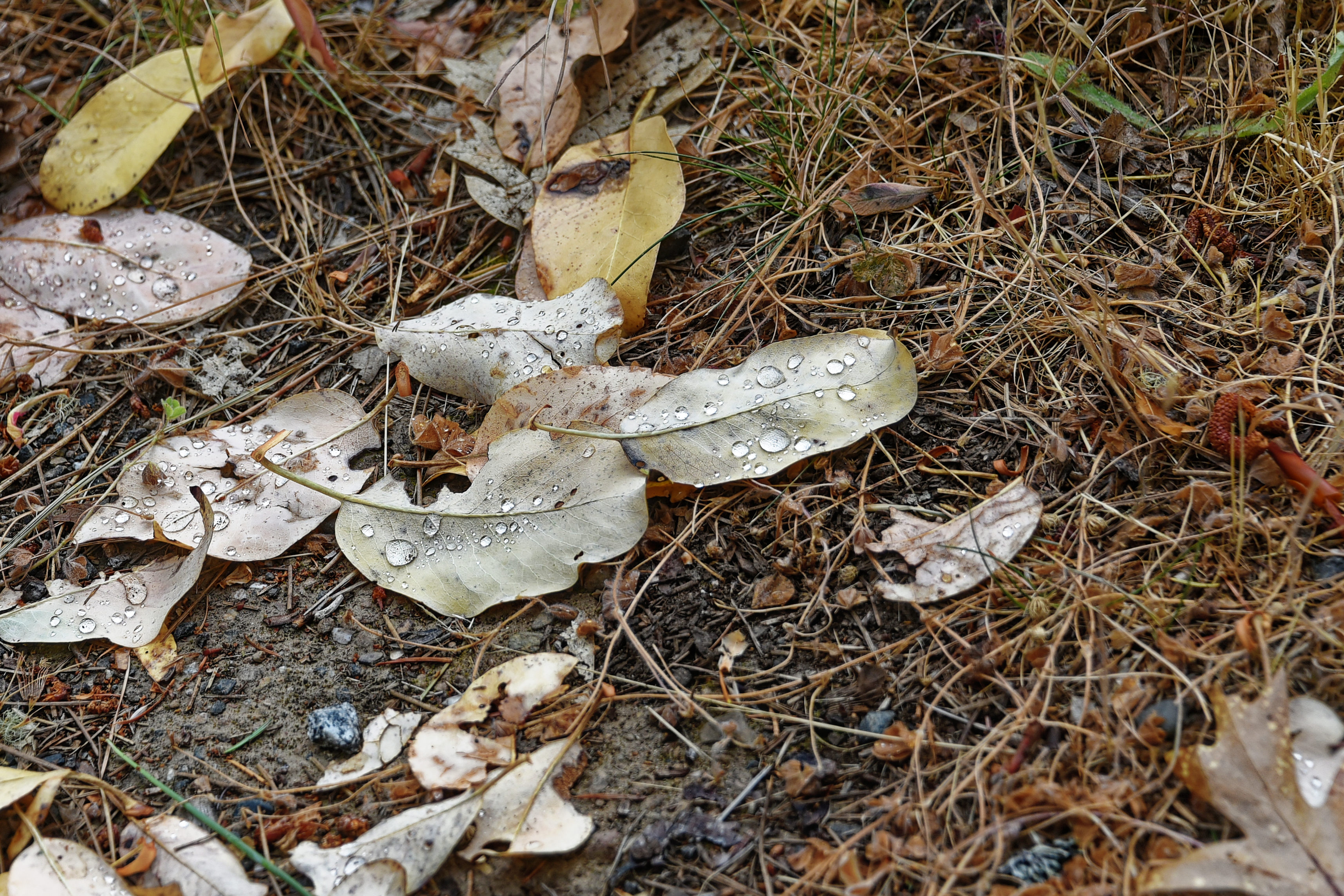
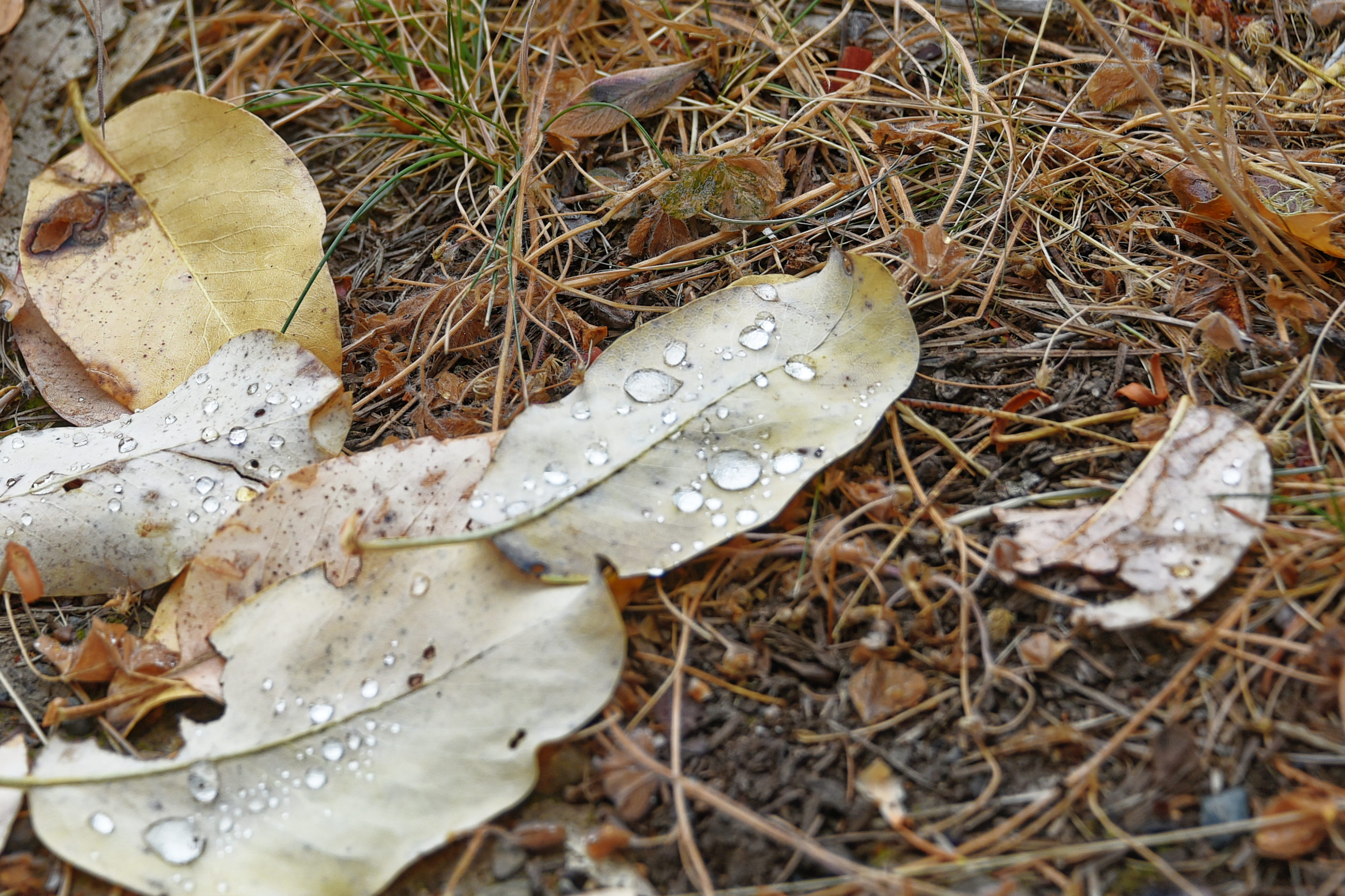
Last Saturday evening, the 5th September, 2026, we had a violent and sudden rainstorm. In twenty-four minutes 0.85” of rain fell. Luckily there was no damage.

On Thursday, The Conversation published a post about the potential dangers of hiking in canyons when storms hit,

ooOOoo

Hiking canyons can quickly turn deadly when storms hit – what you should know before going in
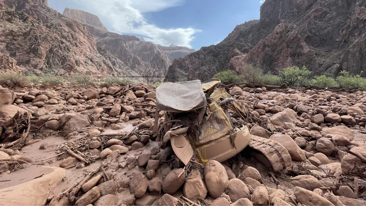
Mangled construction equipment is partially buried in boulders on the canyon floor.
Mud and debris, including a mangled piece of construction equipment, remain after a flash flood in Grand Canyon National Park on Aug. 31, 2026. Katherine Hensel/National Park Service via AP

Anner Paldor, University of Tennessee

Hiking a picturesque valley or climbing a craggy gorge are some of the most exhilarating experiences in nature. As a geologist, I have hiked and climbed some of the most intense terrains in the world, including in the Andes, Middle Eastern deserts, the Balkans and the Appalachians.

I am particularly drawn to canyons that provide beautiful windows into the rock record and the geologic history of a place. However, these narrow valleys can quickly become extremely dangerous when water pours in.

At Grand Canyon National Park in Arizona, at least two hikers died and a third was missing after powerful monsoon storms sent a deluge into one of the narrowest parts of the canyon on Aug. 29, 2026. Two of the survivors who were rescued described seeing the water quickly rise over the trail as they clung to a ledge, fearing they might never see their families again.

People stand on the rim of the Grand Canyon as a storm moves through.
A storm moves into the Grand Canyon. AP Photo/John Locher

So, how do you balance a love for outdoor activity with managing this risk and hike canyons safely?

Why canyons are prone to flash floods

To understand the dynamics of a flash flood, it helps to start with the geomorphologic aspect – understanding the landforms and how they change over time.

In canyons and arroyos – steep gullies common to the Southwest – flash flooding can occur even when the heavy rainfall happens great distances away. A person can be hiking under clear skies in the canyon and not be aware that heavy rain falling upstream or even outside of the canyon means a disaster is unfolding.

The steep gradients and narrow passageways that define these landscapes channel the water, sending vast amounts of it rushing downstream. Under these conditions, water can rise quickly in the narrow space of a canyon.

Timelapse images of the radar shows strong storms upstream and over Bright Angel Canyon ahead of the flood.
Time-lapse radar shows the storms moving over the regions of the Grand Canyon where the flood hit, near Phantom Ranch. Anner Paldor; Iowa Environmental Mesonet

The Grand Canyon flood involved heavy downpours in the heart of monsoon season. The intensity of the rainfall matters in a canyon. Even in arid regions, which generally get low amounts of rain annually, heavy rainfall within a short period of time can create devastating floods.

In 2018, a flash flood in Israel’s Tzafit Canyon – an environment similar to the part of the Grand Canyon where the 2026 flood occurred – claimed the lives of 10 recent high school graduates who were hiking in the canyon.

I grew up in that region and had hiked there many times, and I remember thinking about the incomprehensible suddenness: One moment you are appreciating the breathtaking views of the desert, and within minutes you are fighting a torrent of water you never imagined in such an arid place. A year’s worth of rain fell near the canyon that day.

The hydrogeologic aspect

How well the ground absorbs water also affects flood dynamics. Soils that are highly porous and permeable can transmit water easily vertically into the ground.

However, in arid regions such as Arizona and the Negev Desert, where Tzafit Canyon lies, the dry ground tends to form hardened crusts that make it harder for the water to sink in. That exacerbates surface flooding.

Two people wait on a rocky canyon floor for a helicopter in the distance.
Dozens of people were evacuated by helicopter from the canyon after the flood. Katherine Hensel/National Park Service via AP

What’s more, the lack of vegetation in dry and rocky environments means that water can flow more rapidly down slopes.

What should hikers do to stay safe?

As an avid hiker, I value the beauty of nature and geology that canyons offer, and I believe in enjoying them. However, it is important to understand the risks and to prepare before hiking, climbing or backpacking in these areas.

Carefully study your environment before going in, so you know the risks and the escape routes that will let you get to safety in the event of a flash flood.

An elevation map of the area where the flood happened shows the steepness
An elevation map of the Grand Canyon shows how narrow and steep it is, with 1,500-meter drop over an area less than 5 miles. The white dot shows the location where people were rescued from the flood on Aug. 29, 2026. Anner Paldor; Data Basin, using ESRI, Census Bureau, NOAA, National Ocean Service, National Geodetic Survey, USGS, TomTom, CC BY

Gear up properly. Prepare for your trip so you have the equipment you need. Make sure you have a flashlight with extra batteries, a whistle to signal first responders, and extra clothes in case you get wet. If you know you will be hiking in high-risk water zones, you may consider an inflatable personal flotation device.

Talk to park rangers before going in so you know the current conditions and so someone knows where you’re going.

Always be aware of the weather – not just above you but upstream. Clear skies can be deceptive. An added challenge is that cellular service is often shaky in deep canyons and remote areas. Check the weather forecast before you go down a canyon, not just for the specific location, but also for the surrounding area. The National Weather Service provides warnings of flash floods and other extreme weather events.

When you are in a canyon, a good general guideline is to try to stay as high as possible and to be alert to the sound of an incoming flood. One person described the rush of water in the Grand Canyon sounding like a freight train.

If heavy rain starts, use extra caution and seek higher ground. Be aware that the timing of floods can vary widely – scientists analyzed 74,814 flash flood events in the U.S. and found the average duration was around 3½ hours, but some persisted for more than 48 hours. A flood can start quickly and strand people for long periods of time. Muddy water or debris in a normally clear stream are two signs of flooding developing. Rising water or the distant sound of rushing water is another clear warning to get to safety fast.

There are always risks in nature, but that does not mean you should avoid being out in nature. Planning ahead and hiking with caution and awareness can help you enjoy the beautiful outdoors and come back home safely.

Anner Paldor, Professor of Hydrogeology, University of Tennessee

This article is republished from The Conversation under a Creative Commons license. Read the original article.

ooOOoo

There are a number of excellent tips in this article. The one that stood out for me was making sure that the park rangers know where you are going.
That wildfire smoke

Where it has come from can make a real difference.

Previous to this week, I hadn’t really thought of wildfire smoke other than it being a nuisance, so long as it did not get too close to home.

However, a recent article on The Conversation changed my understanding, and I bet there are many others out there that will feel the same way as I do.

ooOOoo

From flames to haze, wildfire smoke transforms as it travels, and it can harm your health in different ways

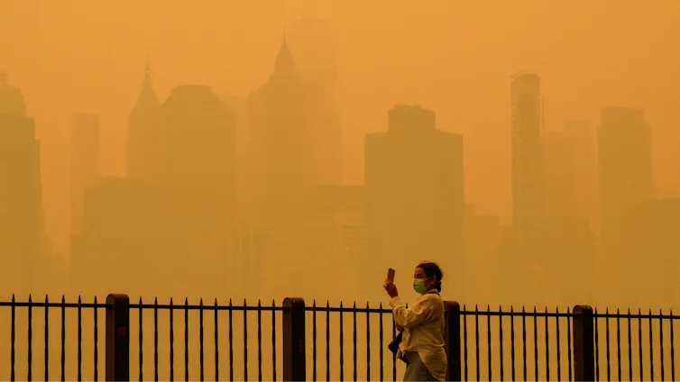
A  person walks along the river holding a phone. Buildings that are normally clearly visible disappear into the haze in New York City.
Wildfire smoke from Canadian fires has turned New York City’s sky a hazy orange several times in recent years. Angela Weiss/AFP via Getty Images

Michael A. Robinson, University of Colorado Boulder

As wildfire smoke plumes travel thousands of miles, sunlight and atmospheric chemistry bleach their color, strip away their campfire aroma and add them to the mix of urban smog.

Smoky skies plagued the East Coast and Midwest again in summer 2026, as wildfires hundreds of miles away forced people to cancel sports practices and run air conditioners around the clock.

Living in the western U.S., I am no stranger to this scene. Wildfires and the thick smoke they produce have become a fixture of summer life here. I also study wildfire smoke as an atmospheric chemist, in particular how the smoke evolves as it moves downwind from the flames to the communities where people breathe it.

To understand what’s in the smoke you might be breathing, you have to look at where it’s been.

A North America map shows how wildfire smoke spreads far from its origin, and stays dense for hundreds of miles.
Wildfire smoke is often too high in the atmosphere to be noticed, but when atmospheric conditions bring it close to the ground, people are left breathing unhealthy particles. Joshua Stevens/NASA Earth Observatory

When a forest burns, the wildfire emits large amounts of fine particulate matter, or PM2.5, along with nitrogen oxides and volatile organic compounds, or VOCs. The compounds and particles emitted by wildfires can harm human health, including the lungs, heart and organs, and include known carcinogens.

How this potent mix of pollutants transforms over time and distance is a complex puzzle. At the NOAA Chemical Sciences Laboratory, our team tracks this behavior, from studying controlled fuel burns in the lab to flying research aircraft through wildfire smoke plumes. Understanding how wildfire smoke ages is essential for predicting its impacts on human health.

It all starts at the flame

The story of smoke begins with how the wildfire burns. High temperature wildfires behave very differently from cool, smoldering wildfires.

Hot, intense flames produce nitrogen oxides, which can harm a person’s respiratory system and contribute to the formation of secondary pollutants and reactive carbon compounds like aromatic hydrocarbons, which can increase the risk of certain cancers with long-term exposure. They also emit smaller amounts of nitrous acid, hydrogen cyanide and isocyanic acid, all of which can be toxic to humans.

Wildfire smoke rising in the distance under a blue sky, viewed from a plane.
Smoke from a wildfire lofts high into the air. As it moves, its chemical composition changes. Steven S. Brown

In contrast, lower-temperature smoldering wildfires release a different mix of compounds, but it is still enriched with toxic aromatic oxygenates and ammonia, which can irritate the respiratory system. This isn’t to say that these wildfire emissions are safer for human health, but rather that burning conditions dictate the chemical makeup of the smoke and its subsequent chemical fate.

Wildfires are rarely just one or the other; they are dynamic mixtures that shift throughout the day as air temperatures rise, humidity drops or evening thunderstorms roll in.

The inside of a small plane filled with racks of instruments and one passenger seat.
The Twin Otter research planes that National Oceanic and Atmospheric Administration scientists use to study wildfire smoke are packed with instruments. Steven S. Brown

Once smoke leaves the flames, three main factors govern its journey: wind speed, atmospheric temperature and sunlight.

Think of a campfire. If you are sitting in the wrong spot, the prevailing wind blows smoke directly in your face. This horizontal movement is called advection. Small fires often don’t generate enough heat to loft their smoke high, meaning you can smell your neighbor’s campfire.

However, massive wildfires generate immense heat and powerful upward winds. This buoyancy acts like an elevator, lifting the smoke plume out of the planetary boundary layer and injecting it into the free troposphere, roughly 1.2 miles (2 kilometers) above the ground. Up there, high-altitude winds take over, transporting the smoke thousands of miles across the continent.

A large smoke plume rises high into the atmosphere
A large smoke plume rises high into the atmosphere. Michael A. Robinson

On occasion, wildfire plumes can generate their own weather, making smoke-laden pyrocumulonimbus clouds, which can inject large amounts of particles into the stratosphere.

How sunlight ‘ages’ the smoke

As smoke travels, it undergoes rapid physical and chemical changes.

First, the plume dilutes as cleaner background air mixes into it. Close to the fire, the smoke is dense and opaque. As it moves downwind, it spreads out and grows more diffuse.

Second, intense sunlight acts as a chemical engine. Solar ultraviolet photons break apart bonds in molecules, creating radicals, which oxidize VOCs. Nitrogen oxides play a key role in driving this chemistry.

Within just hours of being emitted, this mixture reacts to form ground-level ozone, which can irritate the lungs and is a key component of smog.

The wing of a research plane with the orange sky against the smoke plume and blue sky below behind it.
When the Sun shines through thick wildfire smoke, it turns the sky a dirty orange. Steven S. Brown

If smoke is lofted high, into cold free tropospheric air, the chemical aging process can temporarily freeze. The smoke can remain chemically fresh until the air parcel sinks closer to the surface, below about 1.25 miles (2 kilometers), where warmer temperatures can restart the chemical reactions.

When an aging smoke plume passes over a major city, it can mix with urban pollution, such as car exhaust. This interaction can rekindle chemical reactions, creating additional local ozone on top of the fine particulate matter emitted from the fire.

Why distant smoke smells and looks different

Have you ever noticed that long-distance wildfire smoke doesn’t smell like a campfire? There is a chemical reason for that.

The specific compounds responsible for the classic smoky aroma of a campfire – phenolic compounds like guaiacol and syringol – are highly reactive. Sunlight and the associated chemistry destroy them in a matter of hours. By the time the smoke has traveled across several states, the smoky smell is completely gone.

Sunlight also alters the color of the smoke through chemical bleaching of aerosols. Fresh smoke contains dark brown and black carbon particles that absorb light. Over several days of exposure to sunlight and oxidants, chemical reactions break down these dark compounds.

A lifeguard on a stand on a beach. The smoke is so thick, a sailboat is barely visible in the background.
A sailboat passing a lifeguard stand along Chicago’s Lake Michigan is obscured by Canadian wildfire smoke that blanketed the city on July 16, 2026. Scott Olson/Getty Images

The result?

Dark, light-absorbing particles turn into light-scattering particles, transforming dark, dense plumes into the milky white haze seen drifting across the eastern skies. These particles efficiently scatter the blue and green light while letting red and orange wavelengths pass through, creating the uncanny feeling of an all-day sunset.

The wildfire smoke inhaled hundreds of miles downwind is chemically distinct from the smoke that left the flames, but it remains a serious health threat and an area of active research. Consequently, smoke transport and its associated atmospheric chemistry represent a major North American air quality issue, one projected to intensify in the coming years.

Michael A. Robinson, Research Scientist in Atmospheric Chemistry, University of Colorado Boulder

This article is republished from The Conversation under a Creative Commons license. Read the original article.

ooOOoo

As you can see from the second image, the map of wildfire smoke, here in Oregon there has been substantial smoke, albeit because we live to the west of the Cascades, we have not been directly affected.

However, the summer of 2027 is predicted to be an even drier period than this year, and the potential for wildfires and the associated smoke is a problem that is not going away.

The wildfire smoke

A useful article from The Conversation.

When I first read this article, I thought everyone will be aware, such is the awareness of wildfire smoke in so many places, and media.

Then I realised that this was wrong, and if only one or two people benefit from the advice then it should be republished. The original was on The Conversation.

ooOOoo

Yes, breathing wildfire smoke can harm your health – here’s what you can do to protect yourself

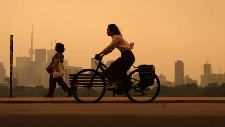
A woman rides a bike through city air tinted orange by wildfire smoke. Neither she nor a woman walking in the background is wearing a protective mask.
Heavy wildfire smoke from Canada’s forests turn skies orange in Toronto and across parts of the U.S. in July 2026. Steve Russell/Toronto Star via Getty Images

Colleen E. Reid, University of Colorado Boulder

Wildfire smoke from fires burning in Canada and northern Minnesota has been pouring across the Great Lakes and northeastern U.S. states, turning skies an eerie shade of orange. In the West, smoke has also been spreading into communities in Colorado and neighboring states as more wildfires burn in hot, dry conditions in July 2026.

University of Colorado environmental health researcher Colleen Reid explains what’s in that smoke and why breathing it is a health concern everyone should be aware of.

What is in wildfire smoke?

Wildfire smoke is a complex mixture that includes nitrogen oxides, volatile organic compounds, polycyclic aromatic hydrocarbons, carbon monoxide, carbon dioxide and particulate matter. When homes or buildings also burn, they can release an even more toxic stew of chemicals from burning electronics, furniture, plastics, paints and much more.

What you see when you see a smoke plume or when the air is hazy with wildfire smoke are the tiny particles that are too small to fall to the ground right away with gravity.

These particles, which scientists call particulate matter, are very small – we measure them in microns. When you breathe them in, they can harm your health. The smaller the particles, the deeper they can get into your lungs and body.

Map shows heavy smoke and low air quality across the Great Lakes Region and into the Northeast
EPA air quality monitors show high risks from smoke in many parts of the Great Lakes and northeastern U.S. on July 15, 2026. Reds are considered very unhealthy levels. Purples are either extremely unhealthy for light purple or hazardous for areas in maroon. AirNow Fire and Smoke Map

You may have heard the term PM2.5. It means particles that are 2.5 microns or smaller in diameter, many times smaller than the width of a human hair. High concentrations of these particles in the air during wildfire smoke episodes are what trigger air quality alerts.

Has wildfire smoke been increasing recently, and why?

Yes, wildfires have become more frequent and more intense just in the past couple of decades, and when wildfires become more frequent and intense, so does the smoke.

Scientists have found that wildfires are becoming more frequent due to a variety of factors that include increases in fire weather – hot, dry, windy conditions that fuel the spread of fires due to climate change – as well as other natural and human factors. The reasons for the increases in wildfires vary in different parts of the world.

Other studies have found that wildfire smoke makes up an increasing portion of the PM2.5 in the air in the U.S., and in many areas it is offsetting the decreases in air pollution that the U.S. has gained through regulations of industrial and vehicle emissions under the Clean Air Act.

How could wildfire smoke affect my health?

Some effects of breathing wildfire smoke include shortness of breath, coughing, itchy or watery eyes, headaches, rashes and itchiness. But smoke can cause more serious harm. Numerous epidemiological studies have shown that hospitalizations and emergency department visits for asthma and other respiratory diseases increase during wildfire smoke events.

After you breathe in the particles, they cause inflammation and oxidative stress, and they can move into the blood and spread throughout the body, affecting other organ systems.

People stand in a field as a smoke plume turns the sky orange and then dark.
The height of a smoke plume, like this one from Colorado’s Aspen Acres fire near Pueblo on July 1, 2026, affects the amount of particles and chemicals people on the ground are exposed to. But generally, if you can smell smoke, you’re breathing it in. Michael Ciaglo/Getty Images

Breathing wildfire smoke has been associated with higher risk of preterm births and other issues during pregnancy, and potentially cardiovascular problems such as heart attacks and strokes, although the evidence for these effects are more mixed.

The longer-term health effects of wildfire smoke are less clear, but it is a growing area of research.

Where can I learn more about wildfire smoke risks where I live?

The first thing to do to protect yourself from wildfire smoke is to know how bad the smoke is and how long it is going to last.

One great place to get information for where you live on current wildfire smoke is fire.airnow.gov. You can zoom in on the map to where you live and find color-coded circles reflecting data from both U.S. EPA air-quality monitors and PurpleAir sensors that people have put in their homes.

The colors show the level of PM2.5 at that location and suggest the associated health risk.

To find out how wildfire smoke is expected to change over time in North America, you can look at maps from FireSmoke Canada and the U.S. Interagency Wildland Fire Air Quality Response Program.

What can I do to protect myself and my family from wildfire smoke?

First of all, depending on the level of the air quality index where you are, there are different recommendations. When wildfire smoke reaches unhealthy levels, stay indoors as much as possible, with doors and windows shut to keep the wildfire smoke out.

If you have an air cleaner, use it, but check the filter, as filters can fill up quickly. Similarly, check the filter on your home HVAC system and replace it if needed.

If you have to go outside, consider wearing a well-fitting N95, KN95 or KF94 mask. These masks can protect you from inhaling particles in the air around you. Looser masks, such as surgical masks, mostly protect others from what you breathe out instead. They do not have a tight seal around your mouth, and when you breathe in, the air with all of the particles can find its way around the sides of the mask.

Having a tight fit of the mask to your face is important so that when you breathe, the air is going through the mask and capturing the smoke particles rather than letting them into your body where they cause harm.

If your home is leaky and you can see haze inside, consider going to a public space, such as a library or mall, with a good HVAC system. Some municipalities have designated clean air spaces where anyone can go.

Colleen E. Reid, Associate Professor of Geography, University of Colorado Boulder

This article is republished from The Conversation under a Creative Commons license. Read the original article.

ooOOoo

Thank you, Colleen, and thank you The Conversation. Lots of good advice.

Has this UK Government gone insane!

A post by George Monbiot on the 9th July explains.

I looked up quotations about government, and this one caught my eye: “Government, even in its best state, is but a necessary evil; in its worst state, an intolerable one.” — Thomas Paine.

Here is that post by George, republished with his permission.

ooOOoo

In Deep

Posted on 9th July 2026

The numbers are simply mind-blowing: up to £264 billion for a climate “solution” that will increase emissions. Has the government lost its mind?

By George Monbiot, published in the Guardian 8th July 2026

The new prime minister will be looking for money? Well, here’s £21.7bn lying on the ground. The government could cancel its deranged, disastrous carbon capture and storage (CCS) programme at no cost to public welfare: in fact, it would greatly reduce the harm we will suffer.

Sorry, did I say £21.7bn? That’s the figure the government has been putting in its press releases for spending on this programme between now and 2050. But this covers only the first phase of the project. The climate experts Dr Andrew Boswell and Simon Oldridge worked through the data produced by the government’s Climate Change Committee, which was scattered across different spreadsheets, and discovered that the projected cost of the full CCS programme between now and 2050 is £264bn.

Yes, £264bn. More than a quarter of a trillion. This cost will be divided between the public and private sectors. Given the record of CCS programmes so far, we can expect the public to carry most of it.

An investigation by the House of Commons Public Accounts Committee found that roughly 25% of the public costs of CCS will be borne directly by the government, while the remainder will come from extra levies on our energy bills. The government should explain to the electorate that it intends to slap up to £198bn on our bills. Then see how that lands.

Even this might not be the end of it. Buried in an arcane side document is a government commitment to pay a “premium” for the hydrogen produced by the CCS programme for 15 years. This commitment is uncosted, but could run to tens of billions more.

But surely CCS is essential for cutting carbon emissions? That’s how the government has pitched it. On the contrary, this programme will massively increase them. The Climate Change Committee claims that the role of CCS is “limited to sectors where there are few, or no, alternatives”. But this is simply untrue. Its own data shows that only between 5% and 6% of the CCS deployment in the UK will be used to address the emissions of industrial sectors such as chemicals and cement, whose impact is hard to abate (though even here there are partial alternatives).

The great majority of CCS will be attached to new fossil fuel-burning power stations, wood-burning power stations and hydrogen production from fossil gas. In fact, almost all the projects in the government’s first tranche are for fossil fuel-based schemes. But there are abundant alternatives to these highly destructive plans. Given the speed at which battery technology is evolving, enabling a balanced and reliable electricity supply without any use of fossil fuels, the committee’s claim is bunkum.

Its insistence that we need hydrogen made from fossil gas is also baseless. Its own figures show that producing hydrogen from gas with CCS will cost twice as much by 2050 as producing it from the electrolysis of water, using renewable electricity.

The new CCS plants will mean massively more gas use than the UK would otherwise have required. Ultimately, that means more imports of liquefied natural gas (LNG). We now know that, thanks to methane leakage along the production and transport chain, LNG has higher emissions than coal. Two-thirds of its greenhouse impact occurs before the gas arrives in this country. So that’s all right then – it doesn’t count towards our national figures.

If the real aim were to cut emissions, we would push fossil fuel use in the electricity sector down to zero, and scale up renewables and battery storage instead. The net effect? Much lower climate impacts and much lower bills. Instead, the programme will greatly ramp up both. Why?

Well, the whole thing has been built the wrong way round. It appears likely to be the result of massive lobbying by fossil fuel companies. In 2023 alone, as the key decision on deployment loomed, the oil companies Equinor, BP and ExxonMobil attended 24 meetings with Conservative ministers to discuss CCS. Why? Because they know it’s the only way they will be permitted to keep burning gas. Governments have sought to find a way of meeting their demands while adhering to the climate budgets, so lo, a £264bn white elephant is born. As the Climate Change Committee admits, “gas with CCS accounts for around half of the remaining demand for fossil fuels in 2050” in the UK. In other words, this is their lifeline.

And now we know something else: that the scientific credibility of CCS as a climate solution was shaped by the oil company BP. Investigative work by ProPublica and Drilled discovered that BP both financed and helped steer one of the most famous of all climate papers. The “Wedges” paper, published in 2004, became a foundation of government policy around the world. It purported to show how climate stabilisation was compatible with continued fossil use. And one of the major policies its plan relied on was carbon capture and storage.

BP’s chief executive suggested the “wedges” concept. Another BP executive was so heavily involved that the scientists suggested he should be named as co-author. He declined: the industry tries not to leave fingerprints. The paper greatly oversold CCS, presenting it as “already deployed at an industrial scale”. In reality, it had barely been tested. Yet it underpinned three of the 15 climate actions the paper proposed.

Since then, there has been a long record of shiny promises followed by partial or total failures. In the UK alone, three attempts (the 2005 Peterhead plan, a 2011 demonstration project and a 2012 funding competition) have been abandoned, thanks to cost escalation and infeasibility. As the Public Accounts Committee remarks, the government “is taking a high-risk approach by backing first-of-a-kind, unproven technologies with large amounts of taxpayer and consumer funding”.

But success is not the point. The point is to provide a gigantic, publicly-funded reason for the fossil fuel industry to stay in business. Guess who the lead operator of the government’s first CCS cluster is. Hello, BP.

So we come round full circle. From cradle to grave, this programme appeases the world’s most antisocial and destructive sector. The wasted money, the lost years, the lost lives: for how much longer will this farce continue? And how many more warnings will the government ignore?

http://www.monbiot.com

ooOOoo

I am towards the end of my days, and we live a pretty frugal (as in use of fossil fuels) life.

However, that does not mean that I am not very concerned about George’s essay. I have a son, a daughter, and a grandson. They are a tangible group who will be affected by this proposed legislation. As will millions of other people.

I really hope, and this is truly meant, that the UK Government does not push ahead with this Act.

Our changing world.

Now, it is the technology being applied to our electricity supply.

Although we have an array of solar panels here at home, we still have electricity cables coming to the house. In the Winter, when the solar panels are nowhere enough for our electic consumption, we depend on Pacific Power to provide the electic power for our home.

That is why the following article, published by The Conversation, was highly relevant.

ooOOoo

Electric companies don’t need to black out customers to prevent wildfires – here are 3 relatively fast, affordable solutions

Jasmine Garland, University of Colorado Boulder

A severe winter snow drought has left snowpack levels far below normal across the American West in 2026. Without a slow-melting blanket of snow to keep the soil and forests moist, alpine vegetation is drying into a tinderbox earlier than normal and ramping up the fire risk.

The historic dryness means electric utilities are facing a dilemma: how to deliver power through dry, windy regions without accidentally starting a catastrophic fire.

To cope, many utilities are turning to a controversial method pioneered in California: the public safety power shut-off – better known as a preemptive blackout. Imagine your power provider deliberately cutting electricity to your entire neighborhood for hours to days, not because a storm hit or a wire broke, but because the weather forecast is hot, dry and windy. This preventive darkness is fast becoming the new normal for millions of residents in the West.

A map of the Western U.S. shows just about everywhere except northern Idaho far below normal.
Most of the snowpack in the Western U.S. was far below the 30-year average in June 2026, suggesting a dry summer ahead. Snow-water equivalent is a measure of the amount of water in snowpack. National Water and Climate Center

As an energy systems researcher living in the West, I study how our electric grid interacts with these escalating climate risks. I believe utilities have better options that boost fire safety quickly while avoiding the drastic move of shutting off the power or investing in expensive alternatives, such as underground power lines or microgrids.

Billion-dollar spark: Why the West is going dark

To understand why a utility would willingly turn off its own product, you have to look at how the Western grid was built.

Most rural power lines consist of bare, uninsulated aluminum wires strung across thousands of miles of wooden poles, often through rugged forests. If those wires accidentally touch one another or trees or the ground, they can short-circuit, sending off sparks that can start fires.

This system, once considered the greatest engineering achievement of the 20th century, has been responsible for some of the worst fire disasters in U.S. history.

Utility workers in hard hats and reflective vests burying a power line in a trench next to a road.
Burying power lines can keep the wind from blowing tree branches into them, but it can be prohibitively expensive, particularly where transmission lines pass through rugged mountains. AP Photo/Rich Pedroncelli

In California, electricity infrastructure has ignited eight of the state’s 20 most destructive wildfires. The legal and financial fallout can be devastating. In 2019, Pacific Gas & Electric was forced into bankruptcy due to an estimated US$30 billion in wildfire liabilities stemming from equipment-caused blazes, including the 2018 Camp Fire that destroyed much of the town of Paradise. Because utilities are regulated monopolies, they can pass these massive liability costs to their customers over time.

California utilities have been using preemptive outages for several years to avoid causing more fires on hot, dry, windy days. Today, that strategy has spread beyond the state. According to the Western Electricity Coordinating Council, the independent grid reliability authority for the West, 24 western power entities had used preemptive shut-offs by 2026.

Colorado’s Xcel Energy implemented its first major preemptive blackout in 2025. Some of these outages have left communities without power for up to five days.

Chart shows how the number of utilities and agencies with policies for preemptive blackouts increased from 16 in the years before 2025 to 24 in 2026 alone
The number of utilities and agencies with policies of using wildfire preemptive blackouts has risen quickly in recent years in Western states. Jasmine Garland, based on WECC data, CC BY-ND

Fortunately, keeping communities safe does not have to mean leaving them in the dark. There are ways utilities can modernize electric system infrastructure quickly that lower the fire risk and keep the power flowing.

Solution 1: Covered conductors

The quickest, most cost-effective physical fix is to use covered conductors. Think of the electrical cords in your house. If you touched the bare copper wire inside, it would spark. But you don’t get shocked by household cords because they are wrapped in plastic insulation.

Utilities like Southern California Edison are actively wrapping their high-risk mountain wires in heavy, weather-resistant polymer insulation. By the end of 2025, SCE had installed over 700 circuit miles (1,126 kilometers) of this insulated “tree wire” in high-fire districts over the span of about a year and committed to modify an additional 1,481 miles (2,383 kilometers) by 2028.

A worker stands by a giant roll of covered conductor line – power lines covered in a plastic.
A Southern California Edison crew installs new covered conductor power lines in Aguanga, Calif. Elisa Ferrari/Southern California Edison

If a severe windstorm blows a heavy pine branch directly onto an insulated line, it simply rests against the wire without sparking. It is a highly effective middle-ground fix that’s significantly less expensive than burying transmission lines in mountain forests, and it can be deployed rapidly across thousands of miles.

2. ‘Fast-trip’ settings and topology optimization

Another option is to change how the electricity behaves inside the power line using automated technology.

Traditionally, if a tree branch touched a power line, the system would try to push electricity through the line anyway, causing repeated sparking. Today, utilities are deploying “fast-trip” settings on their circuit breakers.

Think of these like the ultra-sensitive circuit breakers in your home. The microsecond a branch bumps an outdoor line, these smart systems detect the disruption and cut the power to that specific wire before a spark can even form. This allows operators to isolate a single high-risk area rather than shutting down power to an entire county.

Topology optimization is another promising operations technique. It acts like Google Maps for the electric grid. Instead of shutting power down when one line is facing high risks, advanced software attempts to safely route electricity around the danger zone using neighboring, lower-risk lines.

By dynamically changing the pathway of the power, utilities can drastically reduce the electrical load and heat on vulnerable lines without cutting power.

Solution 3: AI and real-time smart sensors

Advanced computer software and artificial intelligence are also helping utilities act with surgical precision.

In the past, if a utility feared a windstorm could spark a fire, it had to shut off power to a large region because it lacked localized data. Today, utilities are deploying smart sensors called dynamic line rating that are installed directly onto power lines. These sensors act like digital stethoscopes, measuring real-time wire temperature, wind speed and line sag.

When combined with panoramic, AI-powered camera networks, the grid gains eyes. Xcel Energy in Colorado has deployed 81 of these cameras. Instead of executing a sweeping blackout, operators can use these cameras and automated smart switches to isolate the high-risk span in a windy canyon while keeping the lights safely on for the surrounding town.

The era of risk-aware grid design

The future of Western energy relies on moving away from static, 20th-century safety manuals and toward a practice called risk-aware dispatching.

In simple terms, this means treating the power grid like a living, breathing weather map. On a calm day, electricity is routed along the cheapest path. But when fire conditions spike, AI algorithms will automatically recalculate the region’s electricity flow, diverting power away from fragile forest lines and routing it through safer plains or underground urban corridors.

The era of cheap, unmonitored overhead power lines is over. To adapt to a changing climate, I believe the grid must evolve from a passive network of copper, aluminum and wood into a smart, dynamic machine. By combining insulated wires, targeted undergrounding of power lines, and real-time sensor data, utilities can avoid sparking devastating fires without resorting to frequent blackouts.

Jasmine Garland, Ph.D. Candidate, University of Colorado Boulder

This article is republished from The Conversation under a Creative Commons license. Read the original article.

ooOOoo

We live (very happily) in a rural part of Southern Oregon. Much of the land close to us is covered in trees. Large parts of our property has trees and bushes. We try and keep the area directly around the home clear, but what with me being over 80 and Jeannie with Parkinson’s, it is a challenging task.

We have had far less snow over the Winter than normal. There is no guarantee the coming Winter will provide the (historically) past levels of snow. We will have to wait and see.

A Very Dry July 4th

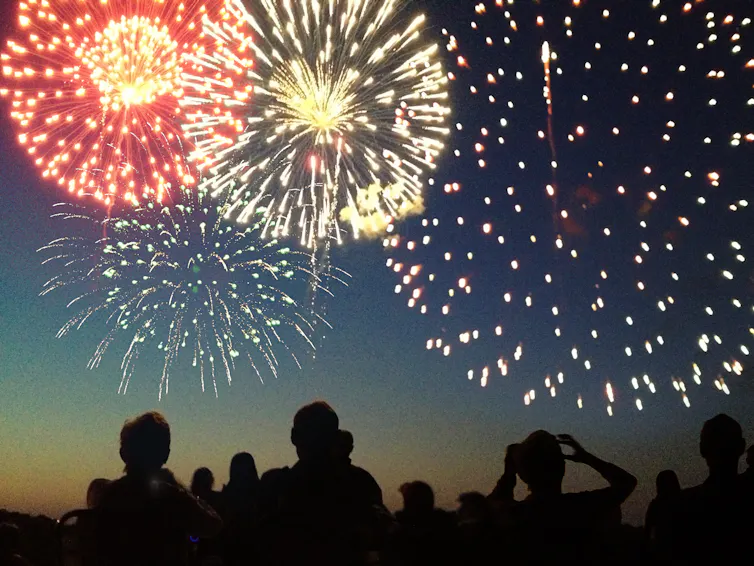
This drought is not ameanable to fireworks.

A few days ago I asked our neighbours to the south of us if they would like to come out on July 4th. The answer was thanks but no. Fireworks and dry forest do not mix and they wanted to stay home for the day.

I write this as an introduction to the latest post from The Conversation.

ooOOoo

Fireworks, heat and drought put this July 4th at high risk for wildfires

Leaving the pyrotechnics to the professionals is safer and more spectacular. YinYang/iStock/Getty Images Plus

Lauren Lowman, Wake Forest University

Across the United States, the sky will be erupting with fireworks on July 4, 2026, and the days around it as America celebrates the 250th anniversary of its independence. Many cities will be hosting spectacular fireworks shows.

But not everyone will be leaving the pyrotechnics to the professionals, so let’s talk about the risk of fireworks starting fires, including dangerous wildfires.

Fireworks, from bottle rockets to Roman candles, start a lot of fires in the U.S. every year – 32,000 of them in 2023 alone. And each year there is a clear spike in human-caused fires on July 4.

In 2026, much of the U.S. has been very dry and in moderate to severe drought. That means many areas are at high risk for fires igniting and spreading.

Dry start to the year

In the first half of the year, the U.S. has already experienced more wildfires than in the first half of any of the previous 10 years, which has included some of the country’s worst fire years on record.

The southeastern U.S. had far-below-normal precipitation in early 2026, which led to extremely dry conditions that fueled wildfires in the spring. In mid-June, half the region was still in severe to extreme drought.

In the West, a snow drought has put a pinch on water resources and left forests without the usual moisture they would get from a lingering snowpack.

Large parts of the West and Great Plains are in extreme or exceptional drought, including areas of Oklahoma, Nebraska and Utah, where wildfires in June forced entire communities to evacuate. And the national wildfire forecast shows above normal fire risk continuing into July in much of the U.S. West and Texas.

Fire risk forecast map for July 2026 shows high risk across much of the and South and East Texas.
Wildland fire risk projections for July 2026. National Interagency Fire Center

At the same time, large parts of the U.S. West and Southeast are forecast to see above-normal heat along with dryness through early July. Heat waves significantly raise the fire risk. A recent study found that 42% of all land burned in the West from 2001 to 2024 happened during or right after a heat wave.

4th of July fireworks

In hot, dry conditions it doesn’t take much to start a fire. Dry vegetation – trees, shrubs and grasses – provides the fuel. A windy day can substantially raise the risk of a runaway fire. The spark often comes from human activities, whether a car, power line or someone lighting fireworks.

Between 1992 and 2015, humans started 97% of all fires that threatened homes in the wildland-urban interface, the areas where homes and cities overlap with wildlands.

Of all the days, July Fourth stands out for its exceptional number of human-caused fires. From 1992 to 2020, around 15,000 fires were started on this holiday. Even in the eastern U.S., where July falls outside of the peak fire season, Independence Day still sees about 400 more fires than other days that month.

The professionals’ advice

In many states and drought-plagued regions, commercial fireworks are banned for community safety, and not just because of the fire risk. Emergency rooms saw an estimated 9,700 fireworks-related injuries in 2023 – injuries to hands, faces, ears and elsewhere – a third of them involving children.

The National Fire Protection Association encourages everyone to leave the fireworks to the professionals who are prepared to manage any wayward sparks. Public displays are cheaper for you, safer for everyone, and often far more spectacular.

Lauren Lowman, Associate Professor of Civil and Environmental Engineering, Wake Forest University

This article is republished from The Conversation under a Creative Commons license. Read the original article.

ooOOoo

Picking up on the last paragraph of the article, I repeat “leave the fireworks to the professionals ..”.

I wonder how many will abide by that recommendation?

Finally, Jeannie and I wish everyone a Very Happy July 4th.

Picture Parade Five Hundred and Thirty

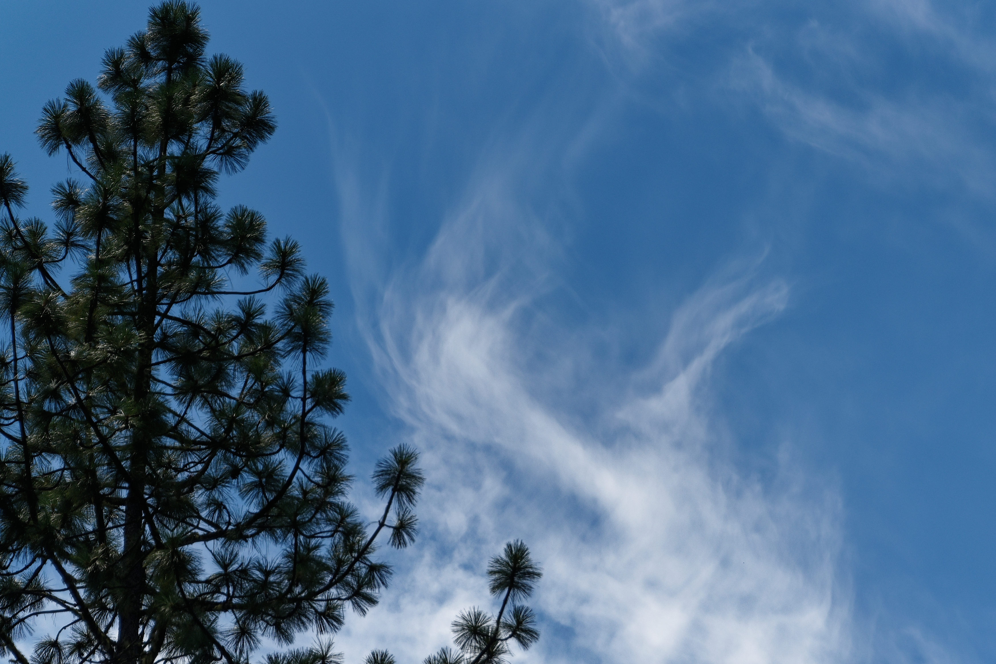
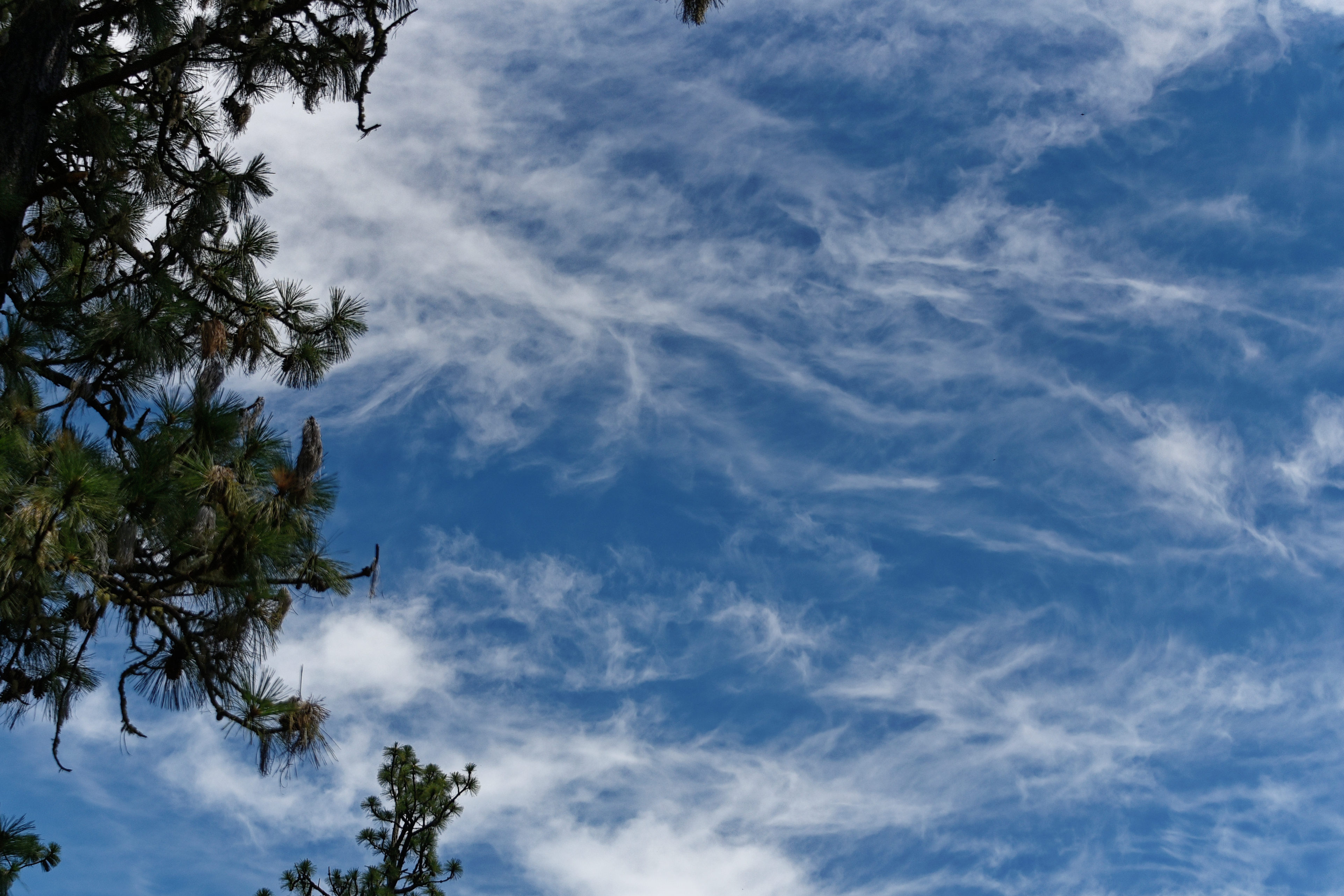
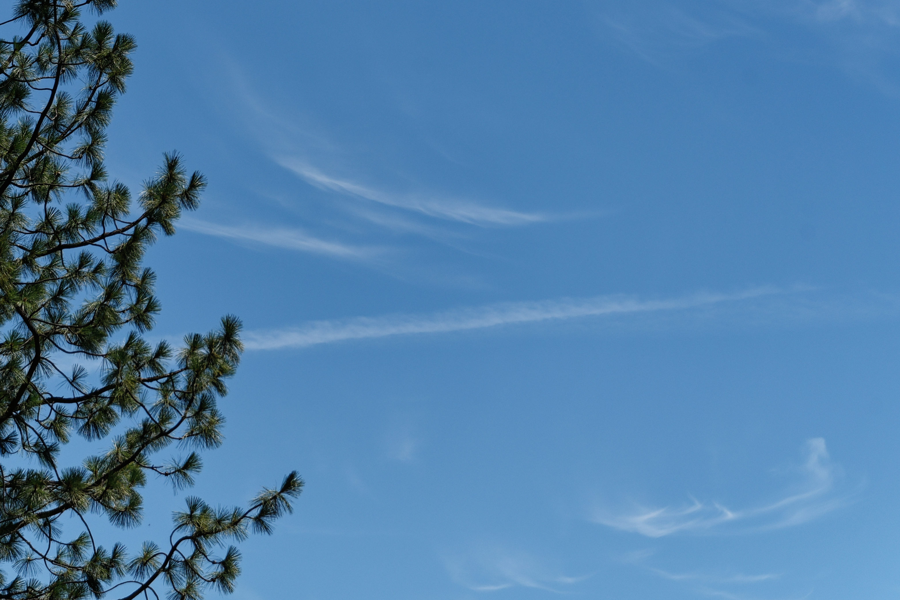
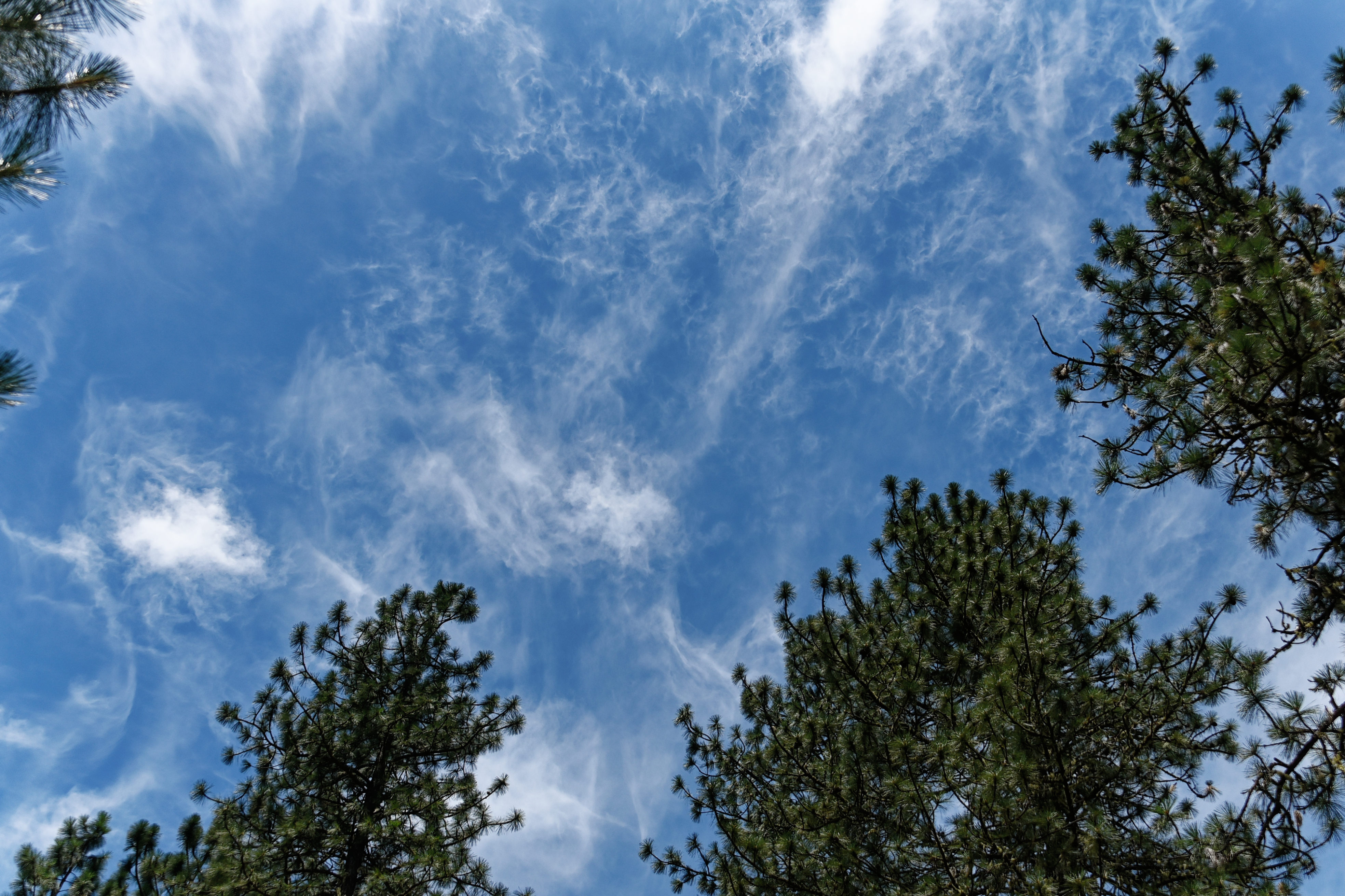
Just the wonderful clouds above our home.

The eight photographs were taken on the 23rd June; four to be shown today and four in a week’s time.

oooo

oooo

oooo

The rest of these photographs on Sunday, July 5th.

Strange weather for late June.

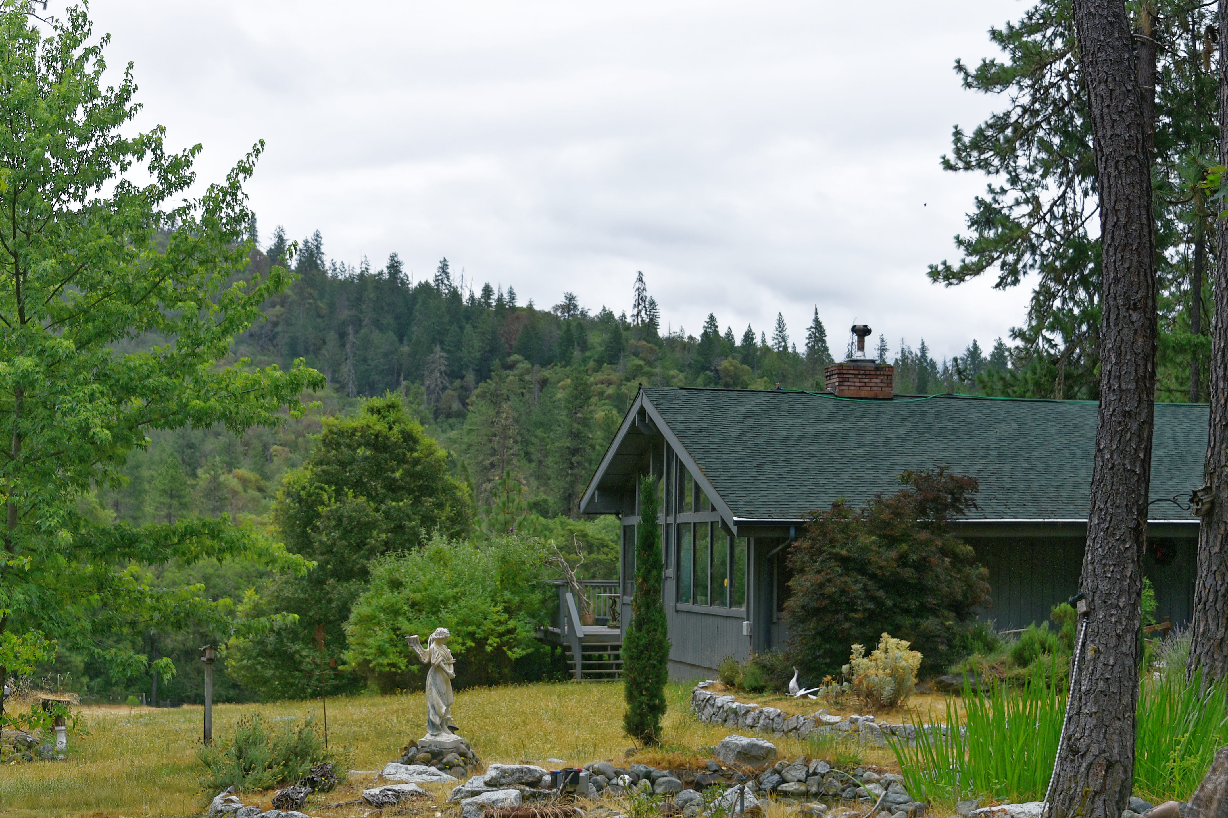
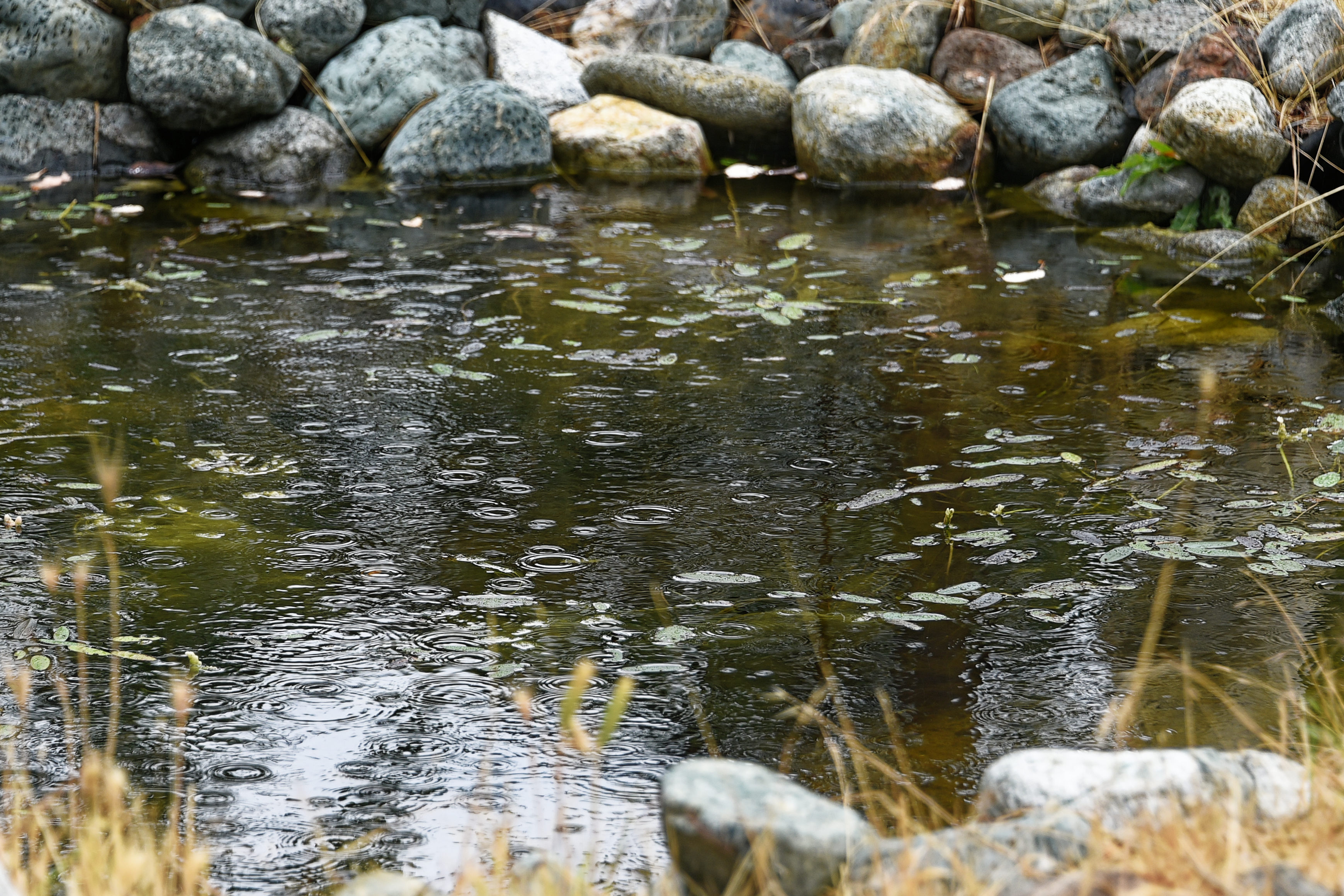
Just some photos taken yesterday around the home.

It rained over night, the 24th, and in the morning of the 25th.

oooo

oooo

oooo

Picture Parade Five Hundred and Twenty-Eight

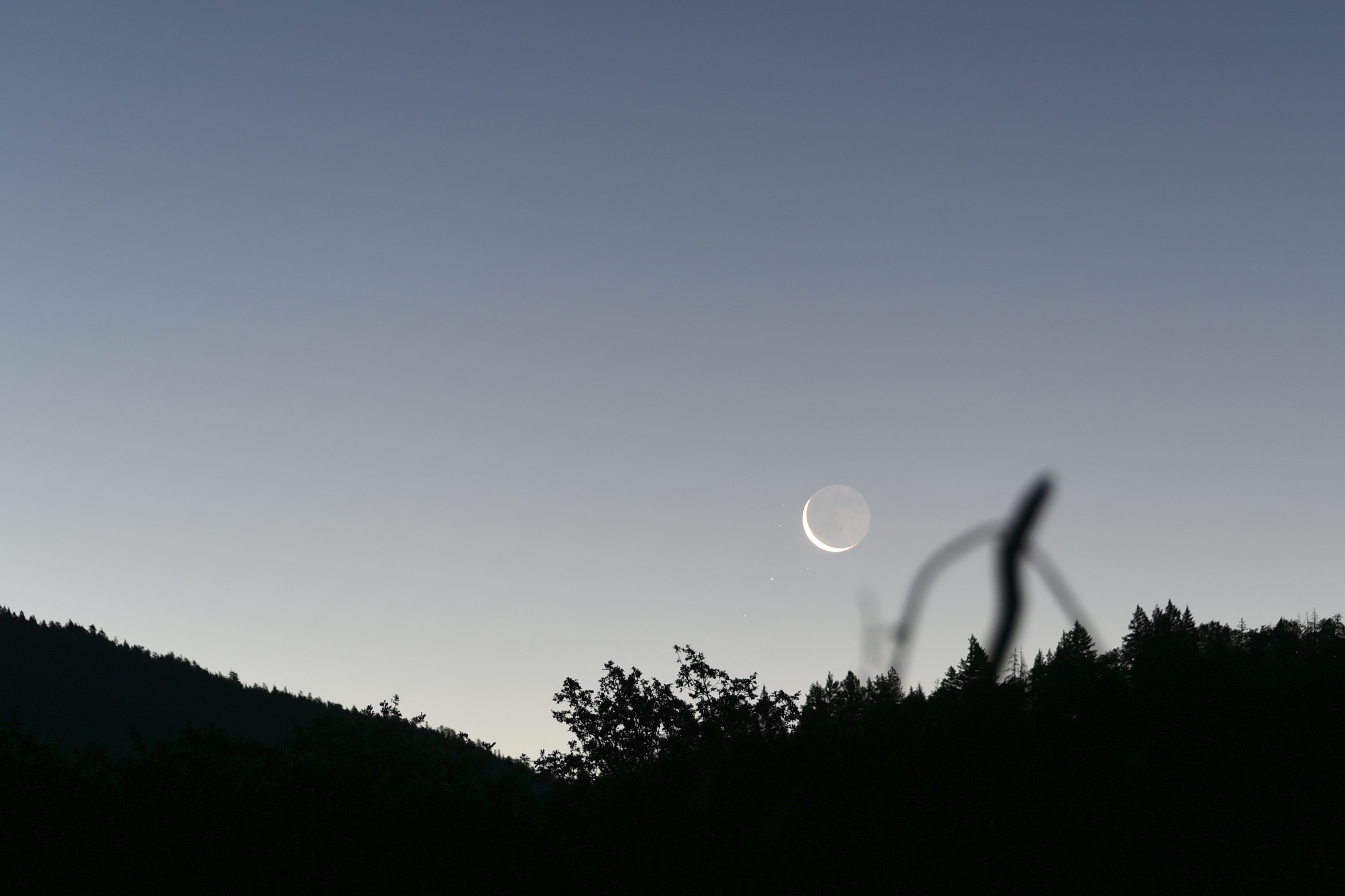
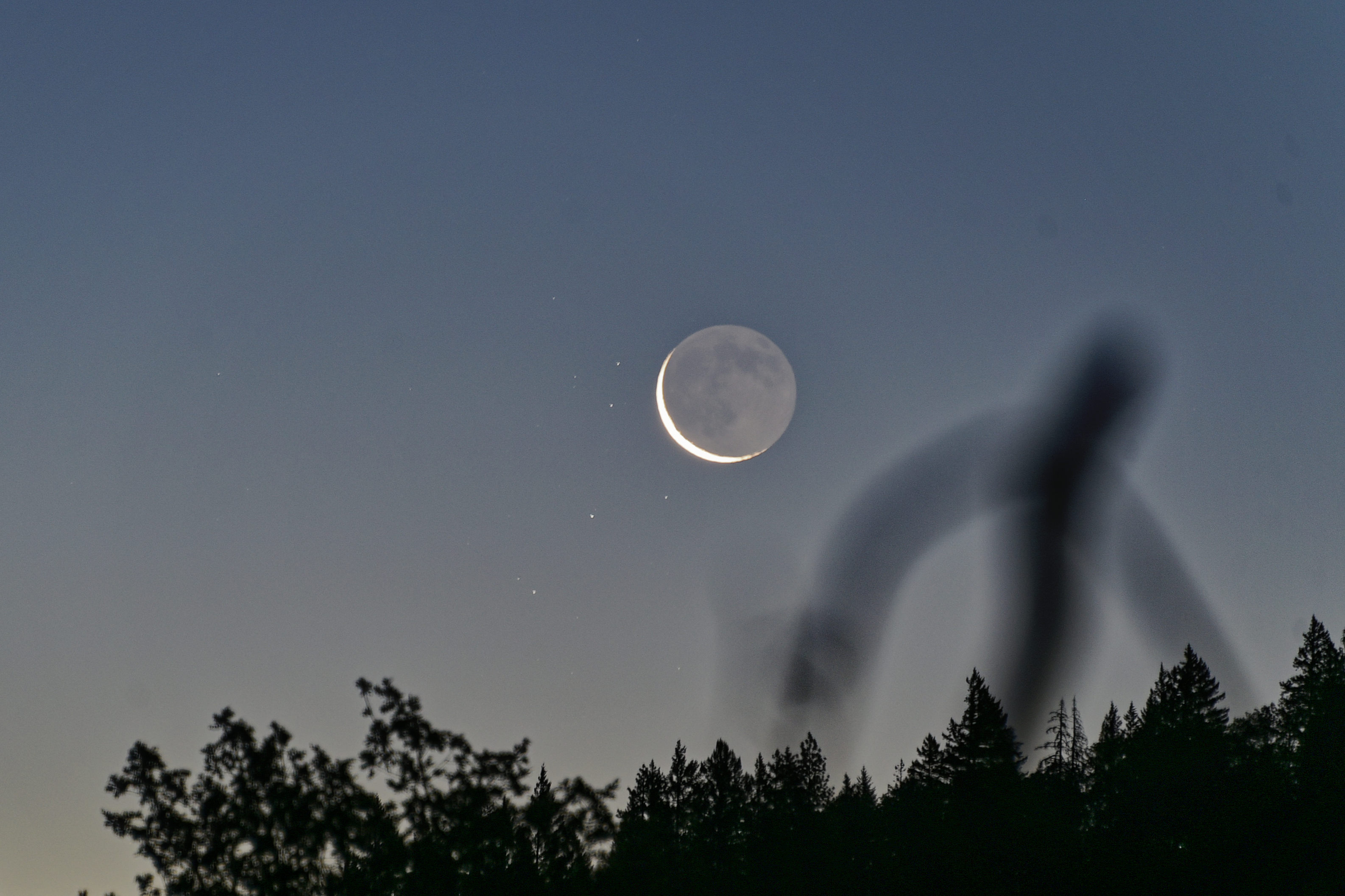
The moon and the sun.

The following photographs were taken from our deck, looking Eastwards, yesterday morning.

oooo

oooo

oooo

oooo

oooo