We most certainly need the rain but …..

The weather forecast for the next few days is ‘interesting’!
From Grants Pass Weather:
Thursday Rain. High near 68. East wind 5 to 7 mph becoming calm. Chance of precipitation is 100%. New precipitation amounts between a half and three quarters of an inch possible. Thursday Night Rain. The rain could be heavy at times. Low around 51. South southeast wind 10 to 18 mph becoming southwest in the evening. Winds could gust as high as 28 mph. Chance of precipitation is 100%. New precipitation amounts between 1 and 2 inches possible. Friday Rain before 11am, then showers after 11am. High near 65. South southwest wind around 11 mph. Chance of precipitation is 90%. New precipitation amounts between a quarter and half of an inch possible. Friday Night A chance of showers before 11pm, then rain likely after 11pm. Cloudy, with a low around 53. Chance of precipitation is 70%. Saturday Rain. High near 65. Chance of precipitation is 100%. Saturday Night Rain. Cloudy, with a low around 51.
The hydrologic report from the National Weather Service even more interesting (my emphasis and we are in Josephine County about 80 miles inland from the coast):
HYDROLOGIC OUTLOOK
NATIONAL WEATHER SERVICE MEDFORD, OR
333 PM PDT TUE OCT 11 2016

Hydrologic Outlook for significant rises on rivers and streams in
Sisikyou and Modoc counties in California and Coos, Curry, Douglas,
Jackson, Josephine, Klamath and Lake counties in Oregon.

A series of storms will move through the region beginning Thursday.
A strong jet stream stretching across the Pacific Ocean will bring
a steady stream of moisture into the Pacific Northwest with these
storms. This will result in heavy rainfall across the region. The
heaviest rainfall will be with the storm on Saturday as the remnants
of Typhoon Songda are pulled into the stream. Rainfall amounts of
over 6 inches at the coast and western Siskiyou county,to over
thirteen inches on the extreme southern coast can be expected
through Monday. Three to six inches can be expected inland to the
Cascades with one to two inches east of the Cascades from Thursday
to Monday. These forecast totals across the region are equal to or
higher than the totals normally seen through the entire month of
October.

While main stem rivers will experience significant rises due to
these storms, they are not expected to flood. Small streams and
urban areas could experience high water or even flooding where there
is poor drainage. As this is the first large storm of the rainy
season, there is the potential for debris to clog storm drains,
ditches and culverts resulting in flooding.

Another concern is the heavy rain falling on recent burn scars. If
you live downstream of a recent burn scar, or if you are just
driving through a burn scar, stay alert as there is a high risk of
flash flooding and debris flows in and below burned areas.

The exact scenario for flooding and high water remains uncertain.
“These forecast totals across the region are equal to or higher than the totals normally seen through the entire month of October.”
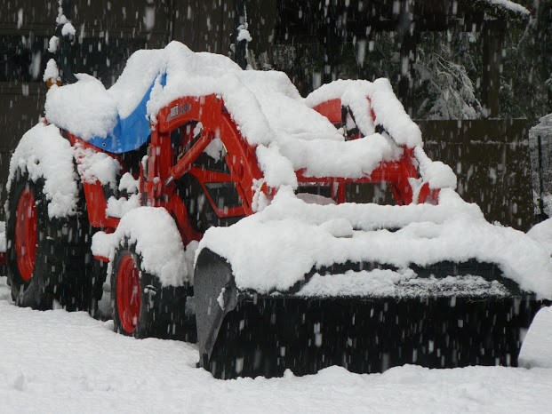
As I said in the beginning, we most certainly need the rain, and with rain comes …
 Thank goodness we have nine dogs! 😉