Category: Water

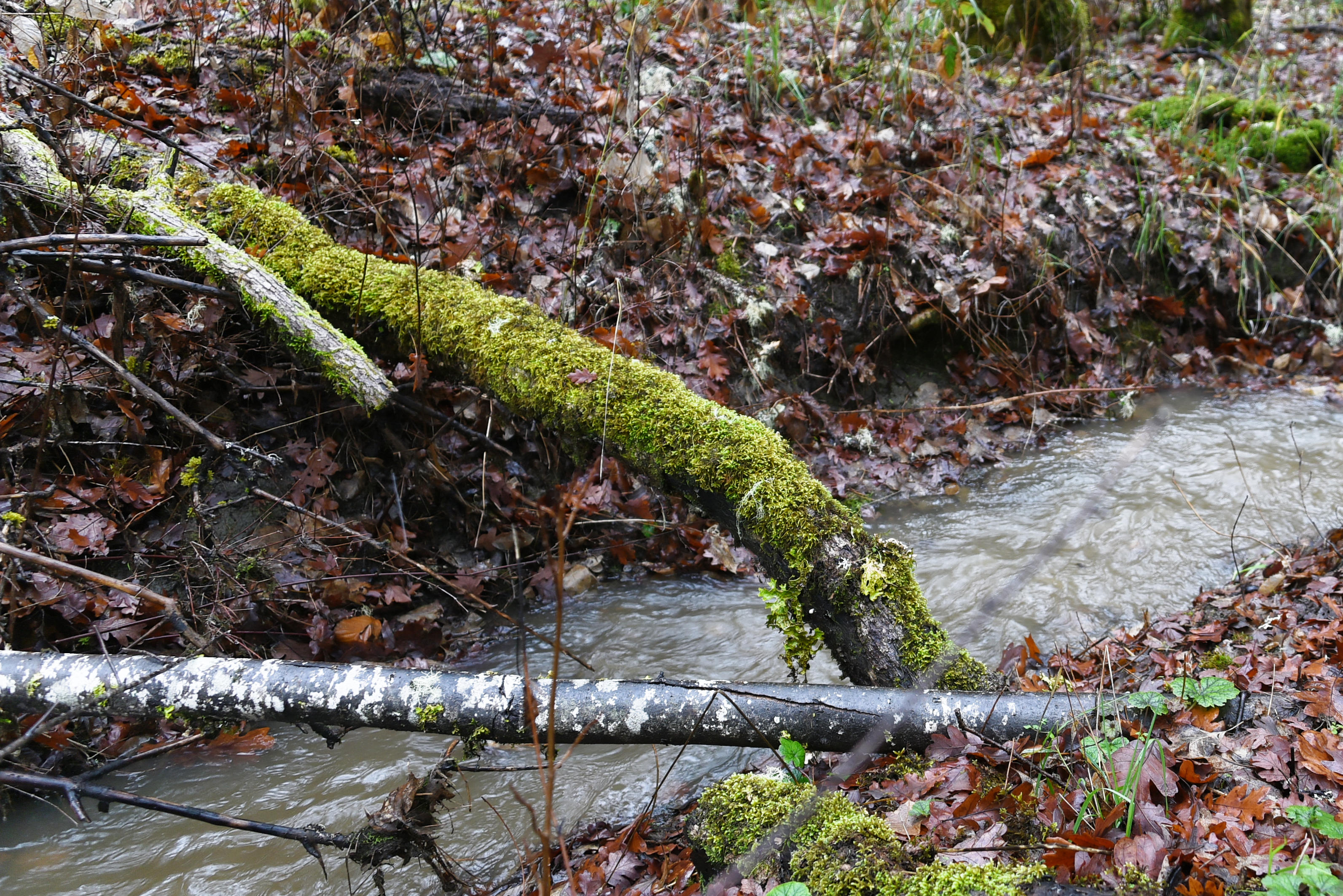
A sudden rainstorm, here at home

The power of water.

Last Saturday evening, the 5th September, 2026, we had a violent and sudden rainstorm. In twenty-four minutes 0.85” of rain fell. Luckily there was no damage.

On Thursday, The Conversation published a post about the potential dangers of hiking in canyons when storms hit,

ooOOoo

Hiking canyons can quickly turn deadly when storms hit – what you should know before going in
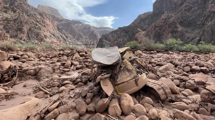
Mangled construction equipment is partially buried in boulders on the canyon floor.
Mud and debris, including a mangled piece of construction equipment, remain after a flash flood in Grand Canyon National Park on Aug. 31, 2026. Katherine Hensel/National Park Service via AP

Anner Paldor, University of Tennessee

Hiking a picturesque valley or climbing a craggy gorge are some of the most exhilarating experiences in nature. As a geologist, I have hiked and climbed some of the most intense terrains in the world, including in the Andes, Middle Eastern deserts, the Balkans and the Appalachians.

I am particularly drawn to canyons that provide beautiful windows into the rock record and the geologic history of a place. However, these narrow valleys can quickly become extremely dangerous when water pours in.

At Grand Canyon National Park in Arizona, at least two hikers died and a third was missing after powerful monsoon storms sent a deluge into one of the narrowest parts of the canyon on Aug. 29, 2026. Two of the survivors who were rescued described seeing the water quickly rise over the trail as they clung to a ledge, fearing they might never see their families again.

People stand on the rim of the Grand Canyon as a storm moves through.
A storm moves into the Grand Canyon. AP Photo/John Locher

So, how do you balance a love for outdoor activity with managing this risk and hike canyons safely?

Why canyons are prone to flash floods

To understand the dynamics of a flash flood, it helps to start with the geomorphologic aspect – understanding the landforms and how they change over time.

In canyons and arroyos – steep gullies common to the Southwest – flash flooding can occur even when the heavy rainfall happens great distances away. A person can be hiking under clear skies in the canyon and not be aware that heavy rain falling upstream or even outside of the canyon means a disaster is unfolding.

The steep gradients and narrow passageways that define these landscapes channel the water, sending vast amounts of it rushing downstream. Under these conditions, water can rise quickly in the narrow space of a canyon.

Timelapse images of the radar shows strong storms upstream and over Bright Angel Canyon ahead of the flood.
Time-lapse radar shows the storms moving over the regions of the Grand Canyon where the flood hit, near Phantom Ranch. Anner Paldor; Iowa Environmental Mesonet

The Grand Canyon flood involved heavy downpours in the heart of monsoon season. The intensity of the rainfall matters in a canyon. Even in arid regions, which generally get low amounts of rain annually, heavy rainfall within a short period of time can create devastating floods.

In 2018, a flash flood in Israel’s Tzafit Canyon – an environment similar to the part of the Grand Canyon where the 2026 flood occurred – claimed the lives of 10 recent high school graduates who were hiking in the canyon.

I grew up in that region and had hiked there many times, and I remember thinking about the incomprehensible suddenness: One moment you are appreciating the breathtaking views of the desert, and within minutes you are fighting a torrent of water you never imagined in such an arid place. A year’s worth of rain fell near the canyon that day.

The hydrogeologic aspect

How well the ground absorbs water also affects flood dynamics. Soils that are highly porous and permeable can transmit water easily vertically into the ground.

However, in arid regions such as Arizona and the Negev Desert, where Tzafit Canyon lies, the dry ground tends to form hardened crusts that make it harder for the water to sink in. That exacerbates surface flooding.

Two people wait on a rocky canyon floor for a helicopter in the distance.
Dozens of people were evacuated by helicopter from the canyon after the flood. Katherine Hensel/National Park Service via AP

What’s more, the lack of vegetation in dry and rocky environments means that water can flow more rapidly down slopes.

What should hikers do to stay safe?

As an avid hiker, I value the beauty of nature and geology that canyons offer, and I believe in enjoying them. However, it is important to understand the risks and to prepare before hiking, climbing or backpacking in these areas.

Carefully study your environment before going in, so you know the risks and the escape routes that will let you get to safety in the event of a flash flood.

An elevation map of the area where the flood happened shows the steepness
An elevation map of the Grand Canyon shows how narrow and steep it is, with 1,500-meter drop over an area less than 5 miles. The white dot shows the location where people were rescued from the flood on Aug. 29, 2026. Anner Paldor; Data Basin, using ESRI, Census Bureau, NOAA, National Ocean Service, National Geodetic Survey, USGS, TomTom, CC BY

Gear up properly. Prepare for your trip so you have the equipment you need. Make sure you have a flashlight with extra batteries, a whistle to signal first responders, and extra clothes in case you get wet. If you know you will be hiking in high-risk water zones, you may consider an inflatable personal flotation device.

Talk to park rangers before going in so you know the current conditions and so someone knows where you’re going.

Always be aware of the weather – not just above you but upstream. Clear skies can be deceptive. An added challenge is that cellular service is often shaky in deep canyons and remote areas. Check the weather forecast before you go down a canyon, not just for the specific location, but also for the surrounding area. The National Weather Service provides warnings of flash floods and other extreme weather events.

When you are in a canyon, a good general guideline is to try to stay as high as possible and to be alert to the sound of an incoming flood. One person described the rush of water in the Grand Canyon sounding like a freight train.

If heavy rain starts, use extra caution and seek higher ground. Be aware that the timing of floods can vary widely – scientists analyzed 74,814 flash flood events in the U.S. and found the average duration was around 3½ hours, but some persisted for more than 48 hours. A flood can start quickly and strand people for long periods of time. Muddy water or debris in a normally clear stream are two signs of flooding developing. Rising water or the distant sound of rushing water is another clear warning to get to safety fast.

There are always risks in nature, but that does not mean you should avoid being out in nature. Planning ahead and hiking with caution and awareness can help you enjoy the beautiful outdoors and come back home safely.

Anner Paldor, Professor of Hydrogeology, University of Tennessee

This article is republished from The Conversation under a Creative Commons license. Read the original article.

ooOOoo

There are a number of excellent tips in this article. The one that stood out for me was making sure that the park rangers know where you are going.

Our changing world.

Now, it is the technology being applied to our electricity supply.

Although we have an array of solar panels here at home, we still have electricity cables coming to the house. In the Winter, when the solar panels are nowhere enough for our electic consumption, we depend on Pacific Power to provide the electic power for our home.

That is why the following article, published by The Conversation, was highly relevant.

ooOOoo

Electric companies don’t need to black out customers to prevent wildfires – here are 3 relatively fast, affordable solutions

Jasmine Garland, University of Colorado Boulder

A severe winter snow drought has left snowpack levels far below normal across the American West in 2026. Without a slow-melting blanket of snow to keep the soil and forests moist, alpine vegetation is drying into a tinderbox earlier than normal and ramping up the fire risk.

The historic dryness means electric utilities are facing a dilemma: how to deliver power through dry, windy regions without accidentally starting a catastrophic fire.

To cope, many utilities are turning to a controversial method pioneered in California: the public safety power shut-off – better known as a preemptive blackout. Imagine your power provider deliberately cutting electricity to your entire neighborhood for hours to days, not because a storm hit or a wire broke, but because the weather forecast is hot, dry and windy. This preventive darkness is fast becoming the new normal for millions of residents in the West.

A map of the Western U.S. shows just about everywhere except northern Idaho far below normal.
Most of the snowpack in the Western U.S. was far below the 30-year average in June 2026, suggesting a dry summer ahead. Snow-water equivalent is a measure of the amount of water in snowpack. National Water and Climate Center

As an energy systems researcher living in the West, I study how our electric grid interacts with these escalating climate risks. I believe utilities have better options that boost fire safety quickly while avoiding the drastic move of shutting off the power or investing in expensive alternatives, such as underground power lines or microgrids.

Billion-dollar spark: Why the West is going dark

To understand why a utility would willingly turn off its own product, you have to look at how the Western grid was built.

Most rural power lines consist of bare, uninsulated aluminum wires strung across thousands of miles of wooden poles, often through rugged forests. If those wires accidentally touch one another or trees or the ground, they can short-circuit, sending off sparks that can start fires.

This system, once considered the greatest engineering achievement of the 20th century, has been responsible for some of the worst fire disasters in U.S. history.

Utility workers in hard hats and reflective vests burying a power line in a trench next to a road.
Burying power lines can keep the wind from blowing tree branches into them, but it can be prohibitively expensive, particularly where transmission lines pass through rugged mountains. AP Photo/Rich Pedroncelli

In California, electricity infrastructure has ignited eight of the state’s 20 most destructive wildfires. The legal and financial fallout can be devastating. In 2019, Pacific Gas & Electric was forced into bankruptcy due to an estimated US$30 billion in wildfire liabilities stemming from equipment-caused blazes, including the 2018 Camp Fire that destroyed much of the town of Paradise. Because utilities are regulated monopolies, they can pass these massive liability costs to their customers over time.

California utilities have been using preemptive outages for several years to avoid causing more fires on hot, dry, windy days. Today, that strategy has spread beyond the state. According to the Western Electricity Coordinating Council, the independent grid reliability authority for the West, 24 western power entities had used preemptive shut-offs by 2026.

Colorado’s Xcel Energy implemented its first major preemptive blackout in 2025. Some of these outages have left communities without power for up to five days.

Chart shows how the number of utilities and agencies with policies for preemptive blackouts increased from 16 in the years before 2025 to 24 in 2026 alone
The number of utilities and agencies with policies of using wildfire preemptive blackouts has risen quickly in recent years in Western states. Jasmine Garland, based on WECC data, CC BY-ND

Fortunately, keeping communities safe does not have to mean leaving them in the dark. There are ways utilities can modernize electric system infrastructure quickly that lower the fire risk and keep the power flowing.

Solution 1: Covered conductors

The quickest, most cost-effective physical fix is to use covered conductors. Think of the electrical cords in your house. If you touched the bare copper wire inside, it would spark. But you don’t get shocked by household cords because they are wrapped in plastic insulation.

Utilities like Southern California Edison are actively wrapping their high-risk mountain wires in heavy, weather-resistant polymer insulation. By the end of 2025, SCE had installed over 700 circuit miles (1,126 kilometers) of this insulated “tree wire” in high-fire districts over the span of about a year and committed to modify an additional 1,481 miles (2,383 kilometers) by 2028.

A worker stands by a giant roll of covered conductor line – power lines covered in a plastic.
A Southern California Edison crew installs new covered conductor power lines in Aguanga, Calif. Elisa Ferrari/Southern California Edison

If a severe windstorm blows a heavy pine branch directly onto an insulated line, it simply rests against the wire without sparking. It is a highly effective middle-ground fix that’s significantly less expensive than burying transmission lines in mountain forests, and it can be deployed rapidly across thousands of miles.

2. ‘Fast-trip’ settings and topology optimization

Another option is to change how the electricity behaves inside the power line using automated technology.

Traditionally, if a tree branch touched a power line, the system would try to push electricity through the line anyway, causing repeated sparking. Today, utilities are deploying “fast-trip” settings on their circuit breakers.

Think of these like the ultra-sensitive circuit breakers in your home. The microsecond a branch bumps an outdoor line, these smart systems detect the disruption and cut the power to that specific wire before a spark can even form. This allows operators to isolate a single high-risk area rather than shutting down power to an entire county.

Topology optimization is another promising operations technique. It acts like Google Maps for the electric grid. Instead of shutting power down when one line is facing high risks, advanced software attempts to safely route electricity around the danger zone using neighboring, lower-risk lines.

By dynamically changing the pathway of the power, utilities can drastically reduce the electrical load and heat on vulnerable lines without cutting power.

Solution 3: AI and real-time smart sensors

Advanced computer software and artificial intelligence are also helping utilities act with surgical precision.

In the past, if a utility feared a windstorm could spark a fire, it had to shut off power to a large region because it lacked localized data. Today, utilities are deploying smart sensors called dynamic line rating that are installed directly onto power lines. These sensors act like digital stethoscopes, measuring real-time wire temperature, wind speed and line sag.

When combined with panoramic, AI-powered camera networks, the grid gains eyes. Xcel Energy in Colorado has deployed 81 of these cameras. Instead of executing a sweeping blackout, operators can use these cameras and automated smart switches to isolate the high-risk span in a windy canyon while keeping the lights safely on for the surrounding town.

The era of risk-aware grid design

The future of Western energy relies on moving away from static, 20th-century safety manuals and toward a practice called risk-aware dispatching.

In simple terms, this means treating the power grid like a living, breathing weather map. On a calm day, electricity is routed along the cheapest path. But when fire conditions spike, AI algorithms will automatically recalculate the region’s electricity flow, diverting power away from fragile forest lines and routing it through safer plains or underground urban corridors.

The era of cheap, unmonitored overhead power lines is over. To adapt to a changing climate, I believe the grid must evolve from a passive network of copper, aluminum and wood into a smart, dynamic machine. By combining insulated wires, targeted undergrounding of power lines, and real-time sensor data, utilities can avoid sparking devastating fires without resorting to frequent blackouts.

Jasmine Garland, Ph.D. Candidate, University of Colorado Boulder

This article is republished from The Conversation under a Creative Commons license. Read the original article.

ooOOoo

We live (very happily) in a rural part of Southern Oregon. Much of the land close to us is covered in trees. Large parts of our property has trees and bushes. We try and keep the area directly around the home clear, but what with me being over 80 and Jeannie with Parkinson’s, it is a challenging task.

We have had far less snow over the Winter than normal. There is no guarantee the coming Winter will provide the (historically) past levels of snow. We will have to wait and see.

Connecting with the natural world

Please, please, let us remember this.

It is my habit to listen to BBC Radio 4 in the early morning. Especially The World at One from 13:00 to 13:45 BST and then, usually, the 15-minute programme transmitted immediately afterwards.

Yesterday, that programme was the start of a new ten-part series called RINSED. Here’s how it is described on the website:

1. The Bridge

Rinsed.

 Episode 1 of 13

After watching their local river grow murky and lifeless, two retired neighbours decide to take on the water industry and its regulators. The unlikely sleuths begin a ten-year battle to clean up our rivers.

On the banks of the River Windrush in Oxfordshire, Kate Lamble meets campaigners Ash Smith and Peter Hammond

Reported and presented by Kate Lamble 
Producer: Elle Scott
Sound Design: Andy Fell
Executive Producer: Joe Kent 
Commissioning Executive: Tracy Williams
Commissioning Editor: Dan Clarke 

Rinsed is a BBC Studios production for BBC Radio 4

Here is the link to the programme.

Geo. Monbiot’s Grim Message

Action regarding the climate crisis.

The following essay from George Monbiot is a difficult read but it is also a necessary read.

With the news that the polar ice caps are retreating, just read yesterday: “Polar ice caps and sheets are shrinking at alarming rates due to global warming, with Arctic sea ice decreasing by over 12% per decade and polar ice sheets losing 7,560 billion tonnes of ice between 1992 and 2020. Greenland and Antarctica are losing hundreds of billions of tons of ice annually, significantly contributing to rising sea levels. [1234]”

ooOOoo

Alternating Current

Posted on 29th April, 2026

If this crucial circulation system shuts down, the civilisational impacts will be irreversible. So why isn’t it a top priority?

By George Monbiot, published in the Guardian 23rd April 2026

The poor and middle pay taxes, the rich pay accountants, the very rich pay lawyers – and the ultra-rich pay politicians. It’s not an original remark, but it bears repeating until everyone has heard it. The more money billionaires accumulate, the greater their control of the political system – which means they pay less tax, which means they accumulate more, which means their control intensifies.

They reshape the world to suit their demands. One of the symptoms of the pathology known as “billionaire brain” is an inability to see beyond their own short-term gain. They would sack the planet for a few more stones on the pointless mountain of wealth. And we can see it happening. Last week delivered the biggest news of the year so far, perhaps the biggest news of the century. But partly because billionaires own most of the media, most people never heard it. We might find ourselves committed to a civilisation-ending event before we even learn that such a thing is possible.

The news is that the state of a crucial oceanic circulation system has been reassessed by scientists. Some now believe that, as a result of climate breakdown changing the temperature and salinity of seawater, it is more likely than not to collapse. This system – known as the Atlantic meridional overturning circulation (Amoc) – delivers heat from the tropics to the North Atlantic. Recent research suggests that if it shuts down, it could cause both a massive drop in average winter temperatures in northern Europe and drastic changes in the Amazon’s water cycles. This could help tip the rainforest into cascading collapse and trigger further disaster.

Amoc’s shutdown is likely also to cause an acceleration of sea level rise on the east coast of the US, threatening cities. It could also raise Antarctic temperatures by roughly 6C and release a vast pulse of carbon currently stored in the Southern Ocean, accelerating climate catastrophe.

Even when the countervailing effects of generalised global heating are taken into account, a further paper proposes, the net impact in northern Europe would be periods of extreme cold – including events in which temperatures in London fall to -19C, in Edinburgh to -30C and in Oslo to -48C. Sea ice in February would extend as far as Lincolnshire. Our climate would change drastically, with the likelihood of far greater extremes, such as massive winter storms. Rain-fed arable agriculture would become impossible almost everywhere in the UK.

This shift, on any realistic human scale, would be irreversible. Its speed is likely to outrun our ability to adapt. Amoc shutdowns, driven by natural climate variability, have happenedbefore. But not in the era of large-scale human civilisation.

The first paper proposing that Amoc might have an on-state and an off-state was published in 1961. Since then, many studies have confirmed the finding and explored potential triggers and likely implications. Until recently, Amoc collapse caused by human activity fell into the category of a “high impact, low probability” event, devastating if it happens, but unlikely to occur.

Research over the past few years prompted a reassessment: it began to look more like a “high impact, high probability” event. Now, in response to last week’s paper, Prof Stefan Rahmstorf – perhaps the world’s leading authority on the subject – says the chances of a shutdown look like “more than 50%”. We could pass the tipping point, he says, “in the middle of this century”.

So why is this not all over the news? Why is it not the top priority for the governments that claim to protect us from harm? Well, in large part because oligarchic power has championed a model of climate impact that bears little relation to reality: that is, they have a hypothesis about how the world works that is completely detached from scientific findings. This model underpins official responses to the climate crisis.

It began with the work of the economist William Nordhaus, who sought to assess the economic effects of global heating. His modelling suggests that a “socially optimal” level of heating is between 3.5C and 4C. Most climate scientists see a temperature rise of this kind as catastrophic. Even 6C of heating, Nordhaus suggests, would cause a loss of just 8.5% of GDP. Climate science suggests it would look more like curtains for civilisation.

As the eminent economists Nicholas Stern, Joseph Stiglitz and Charlotte Taylor have argued, the mild effects Nordhaus forecasts are merely artefacts of the model he has used. For example, his modelling assumes that catastrophic risks do not exist and that climate impacts rise linearly with temperature. There is no climate model that proposes such a trend. Instead, climate science forecasts nonlinear impacts and greatly escalating risk.

The likely impacts of high levels of heating include the inundation of major cities, the closure of the human climate niche (the conditions that sustain human life) across large parts of the globe, the collapse of the global food system and cascading regime shifts – that is, abrupt transitions in ecosystems – releasing natural carbon stores, potentially leading to a “hothouse Earth” in which very few survive. Never mind a few points off GDP: there would be no means of measurement and scarcely an economy to measure.

Bizarrely, the modelling also applies discount rates to future people: their lives, it assumes, are worth less than ours. In other words, it has taken a method used to calculate returns to capital and applied it to human beings. As the three economists point out, “it is very difficult to find a justification for this in moral philosophy.” Moreover, climate impacts disproportionately affect the poor – but under the models, their lives are also priced down.

Unsurprisingly, models of this kind, Stern, Stiglitz and Taylor note, have been seized on by “special interests” such as the fossil fuel industry to argue for minimal responses to the climate crisis. And it’s not just the oil companies. Bill Gates, who claims to want to protect the living planet, has given $3.5m (£2.6m) to a junktank run by Bjorn Lomborg, who has built his career on promoting Nordhaus’s model, thus helping to downplay the need for climate action. Nordhaus was awarded the Nobel Memorial prize for economics for his pernicious nonsense – and it is deeply embedded in government decision-making.

A billionaire death cult has its fingers around humanity’s throat. It both causes and downplays our existential crisis. The oligarchs are not just a class enemy but, as they have always been, a societal enemy: a few thousand people can destroy civilisations. It’s the billions v the billionaires, and the stakes could not possibly be higher.

http://www.monbiot.com

ooOOoo

Until I came to live in the the USA permanently, in 2010, I used to live in South Devon, near Totnes. Thus the AMOC was very familiar to me and the local population. AMOC stands for Atlantic Meridional Overturning Circulation. Much more information on AMOC may be read on the WikiPedia site.

Although the future of the AMOC is uncertain, many scientists are concerned that the AMOC will weaken.

The above article by George Monbiot is potentially frightening. As Monbiot says at the end; “… a few thousand people can destroy civilisations.

What we need is a few thousand people to make this the number one priority! Not tomorrow but today!

This Winter

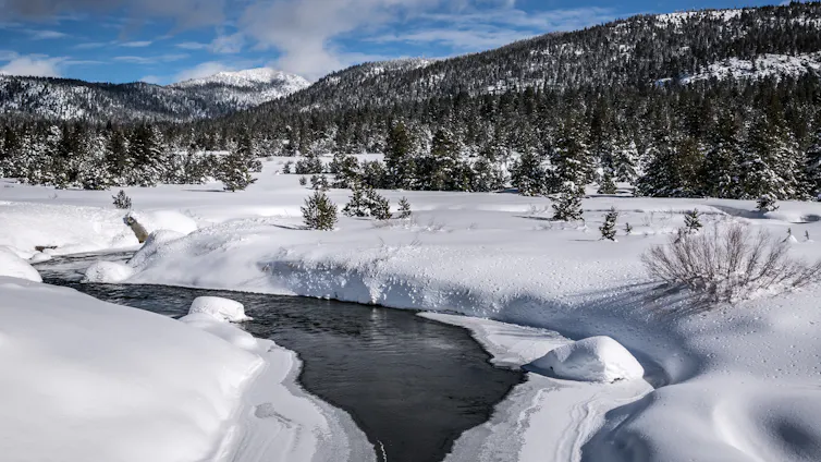
The low snowpack this last Winter is concerning.

Although here in Southern Oregon at present we have a few wet days, in general the amount of rain coming down is well below normal levels.

That is why this recent article presented by The Conversation is being published.

ooOOoo

Winter’s alarmingly low snowpack offers a glimpse of the changing rhythm of water in the western US

In a good year, the West’s mountain snowpack feeds streams and rivers well into summer. George Rose/Contributor/Getty Images News

Imtiaz Rangwala, University of Colorado Boulder

Winter is more than just a season in the western U.S. – it is a savings account to get farms and homes through the long, dry summer ahead. As the snowpack that accumulates in the mountains through winter slowly melts in late spring and summer, it feeds into rivers and reservoirs that keep communities and ecosystems functioning.

The April 1 snowpack measurement has long been the single most important number in western water management, considered a strong proxy for how much water the mountains are holding in reserve.

But in 2026, that savings account has been woefully deficient.

Across the western United States, temperatures from November through February were among the warmest on record, with many areas 5 to 10 degrees Fahrenheit (2.8 to 5.5 degrees Celsius) above the 20th-century average. March continued to break heat records. At lower elevations, the higher temperatures meant a significant part of the winter’s precipitation fell as rain rather than snow. In some places, snowfall accumulated but melted quickly during warm periods.

A chart shows an unusually low amount of area in the West with snow cover during winter 2026.
The total area of the western U.S. with snow cover was exceptionally low compared with the rest of the 21st century. National Snow and Ice Data Center

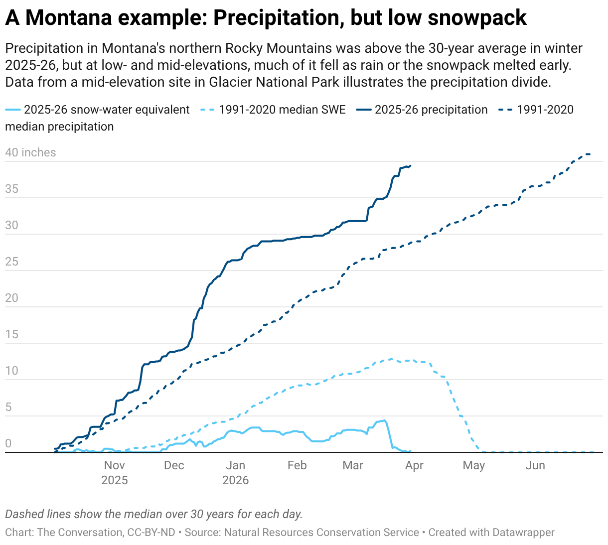
As a result, even regions that received near- or above-normal precipitation for the season failed to build substantial snowpack. In the northern Rockies and the mountains of the Pacific Northwest, any above-average snow accumulation was largely confined to the highest elevations, while middle and lower elevations had relatively little snowpack.

This situation is a hallmark of warming winters. As global temperatures rise, the freezing line where precipitation changes from rain to snow moves up the mountains, shrinking the area capable of sustaining a seasonal snowpack.

A map shows most of the stations across the western mountains were below 50% of average. The best conditions were in the northern Rockies and Pacific Northwest, and most of those were still below average.
At the vast majority of the U.S. Natural Resources Conservation Service’s snow measurement stations across the West, the snowpack’s snow-water equivalent on March 30, 2026, was less than 50% of the 1991-2020 median. Natural Resources Conservation Service
A map shows wide temperature anomalies in the western U.S. compared with the 20th-century average.
Temperatures were well above the 20th-century average across the western U.S. in winter 2025-26. National Centers for Environmental Information

The exceptionally warm winter of 2025–26 across much of the western U.S. delivered a powerful preview of what the regional water cycle in a warmer climate may increasingly look like: less snow and a fundamental reshaping of the hydrograph – the chart of how much water flows through streams across the year.

A flattening hydrologic pulse

The consequences of this shift for water supplies are already visible in streamflows.

In multiple river basins in the West, streamflows were above average in winter and early spring, and some locations were approaching record-high levels. Historically, that water would have remained frozen in the snowpack until late spring. Instead, precipitation arriving as rain – along with intermittent midwinter melting events – increased the runoff.

Scientists who study natural water flows, as I do, pay attention to the hydrographs of streamflows in river basins to see when the water flow in mountain streams is strongest and how long that flow is likely to continue into summer.

A chart shows a typical arc of increasing water flows as snow melt in 2025, compared with several peaks of snowmelt and rainfall during 2026.
This hydrograph showing two years of water flows in the St. Mary River near Babb, Mont., reflects the difference between a typical late-spring peak, as 2025 saw, and several midwinter peaks from warm temperatures and rain, as 2026 is seeing. U.S. Geological Survey

In recent years, rising temperatures have led to a redistribution of streamflows throughout the winter and early spring in ways that are fundamentally reshaping the hydrographs of snowmelt-dominated rivers. Rather than a single dominant peak during late spring or early summer, smaller peaks emerge in winter and early spring. At the same time, the traditional snowmelt pulse, relied on to fill reservoirs in late spring, weakens.

In effect, the hydrograph is flattening. The winter of 2025–26 illustrates this phenomenon: Higher early-season streamflows suggest the West will see less runoff later in the year when communities, farms and wildlife need it.

The Colorado River: A system on the edge

Nowhere does the convergence of record warmth, depleted snowpack and altered hydrology carry higher stakes than in the Colorado River Basin. More than 40 million people in seven states plus Mexico and 5.5 million acres of farmland depend on the river’s water, but the river’s flow is no longer meeting demand.

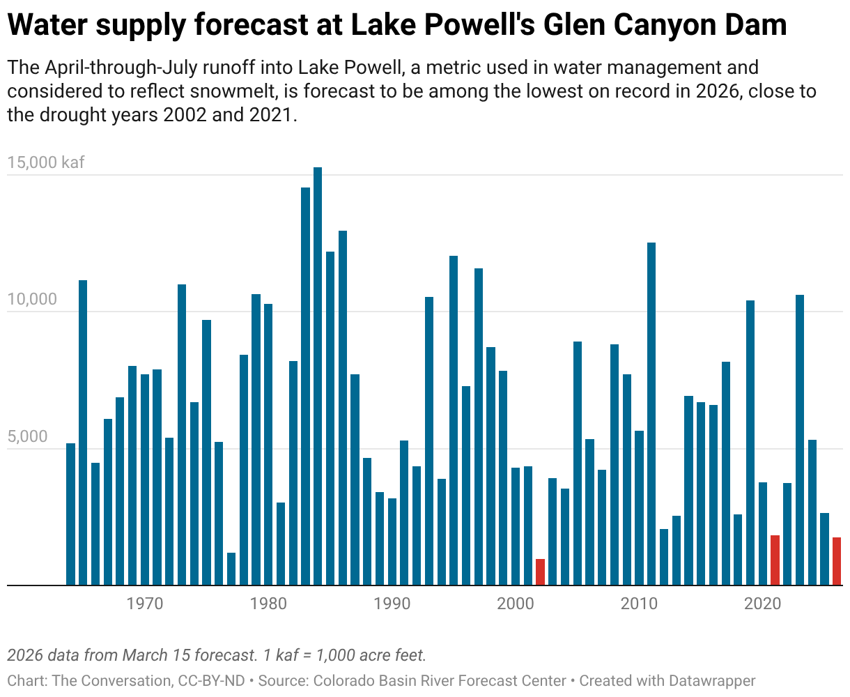
The April-through-July 2026 runoff into Lake Powell – the reservoir behind Glen Canyon Dam and the primary index of the Upper Colorado River Basin’s annual water budget – is currently forecast to rank among the lowest in recent decades. It has been tracking close to the grim years of 2002 and 2021, considered benchmarks of western drought.

Unless spring brings substantial late-season snowfall to the high mountains, 2026 could join those years as a marker of how thin the margin between water supply and demand has become in a river system already under sustained stress from two decades of drought and water overuse.

The low reservoir levels in the basin in 2026 and the low snowpack are adding fears of water shortages just as the seven states that rely on the Colorado River are struggling to reach a new water use agreement.

The changing rhythm of water in the West

The winter of 2025–26 highlights two emerging realities.

First, temperature is increasingly dominating precipitation in determining western water supplies. Even above-normal precipitation cannot compensate for persistent warmth when it falls as rain rather than snow and accelerates snowmelt in the mountains.

Second, the nature of the West’s streamflows is shifting in ways that complicate water management.

Rain-on-snow events can produce flooding in winter, as the Seattle area saw in late December 2025. A low snowpack also means less runoff in summer, which can exacerbate water shortages and raise the wildfire risk as landscapes dry out. Even if a year has normal precipitation, if it falls as rain or there is earlier snowmelt, then evaporation through summer, in a warmer climate, will leave less water in the system.

Snowpack declines, earlier runoff, elevated winter flows and flattened hydrographs are all consistent with long-standing projections for the western United States as global temperatures rise.

What makes the winter of 2025-26 notable is how clearly these signals appeared, even in a year without widespread precipitation deficits.

This shift highlights the need for adaptive reservoir operations – the ability to adjust water storage and release decisions in real time to capture earlier runoff and preserve water for longer dry seasons, while still maintaining space in reservoirs for flood control during wetter winters. For communities across the West, it also reinforces the growing reality that the familiar seasonal rhythm of mountain water is changing.

Imtiaz Rangwala, Senior Research Scientist in Climate, Cooperative Institute for Research in Environmental Sciences, University of Colorado Boulder

This article is republished from The Conversation under a Creative Commons license. Read the original article.

ooOOoo

There is nothing we citizens in the West can do about this, apart from being careful about the water we use.

As Imtiaz Randwala wrote in the last paragraph in the above article: “This shift highlights the need to adaptive reservoir operations.

Perfect poetry

Bela provides another stunning poem.

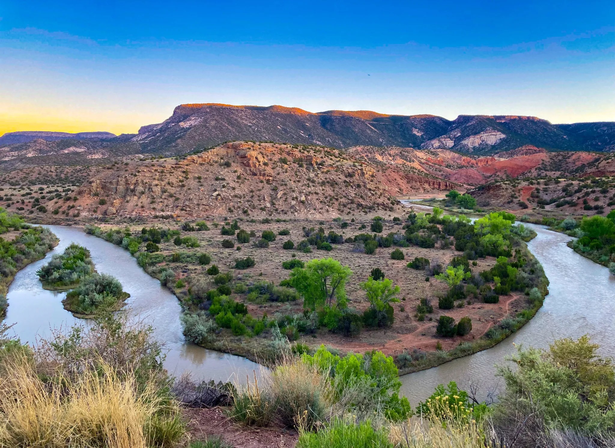
Bela places a beautiful photograph at the end of her poem. I am going to place it at the start.

Rio Grande at Abiquiu ~ bj 2022

A Bend in the River

 ~ BELA JOHNSON

The river winds, twists,
folds back onto itself —
or so it seems.

The current moves
one way.
Appearances deceive.

From above, the loop
looks like return.
Up close, it is
only a means
to move through
the landscape
as it must.

Ripples, eddies,
the low hum beneath —
all of it movement.

When I was younger
I wanted rapids,
white churn,
the reckless drop
into whatever came.

And once it dropped
I did not care
which fork opened.
Adventure for its own sake.
I mistook intensity
for aliveness.
The current felt like enough.

I mistook velocity
for direction.
Only later did I learn
the choosing was mine.

Others named the banks.
Called it grace.
Called it destiny.

But the river was never theirs
to direct.

It kept its own counsel.
I watched for years.

Until I understood:
no god could ford it for me.
No faith could walk
that valley in my stead.

The bend only appears
to return.

It does not.

It deepens,
and goes on —
beyond the bend,
beyond the frame.

Diet and its effect on the body and mind.

Your dinner may not be the best!

I subscribe to a number of services and one of them is Super Age. Part of their story is shown here:

“Super Age is a new media brand at the intersection of longevity science, culture, and the power of mindset to redefine what’s possible in this one extraordinary life, because thriving is about living well, living longer, and living boldly with intention.”

Jean and I certainly agree with that, as do many, many senior folk. I trust Super Age will not mind if I reproduce in full a recent article that they published.

ooOOoo

You already know not to scroll before bed or down a latte at 4 p.m., but did you know your dinner plate might be sabotaging your sleep?

Emerging research shows that what we eat directly influences how well we sleep, from how fast we fall asleep to how long we stay in deep, restorative sleep. Certain nutrients act as natural sleep aids, while others disrupt your body’s circadian rhythms or blood sugar balance. The good news? A few strategic shifts can help your body rest better, night after night.

5 Sleep-Friendly Nutrients to Add to Your Diet

What you eat in the hours leading up to bedtime can either support your body’s natural sleep cycles or short-circuit them. Specific nutrients work behind the scenes to regulate hormones, calm the nervous system, and stabilize your blood sugar while you rest. Here are five research-backed nutritional strategies to help you fall asleep faster, sleep more deeply, and wake up feeling restored.

1. Magnesium for Muscle Relaxation and Deeper Sleep

Magnesium helps quiet the nervous system, supports slow-wave (deep) sleep, and significantly increases sleep time while decreasing early morning awakening.

THE FOODS:

Add leafy greens (spinach, Swiss chard, collard greens), almonds, cashews, avocado, chickpeas, lentils and pumpkin, flax, and chia seeds like pumpkin to your daily meals.

2. Tryptophan to Increase Sleep Time

Tryptophan is an amino acid that helps the brain produce serotonin, which is then converted into melatonin, the hormone that signals it’s time to sleep. Research shows that tryptophan increases total sleep time, reduces waking time, and number of awakenings.

THE FOODS:

Kidney beans, chickpeas, red lentils, chicken, turkey, rice, eggs, oats, pumpkin seeds, and even tofu are natural sources.

3. Omega-3 Fatty Acids Essential fats to Support Circadian Health

EPA and DHA support melatonin production and help regulate the body’s internal clock. Some studies have found a correlation between Omega-3 levels and sleep quality, as well as improved sleep in people with type 2 diabetes.

THE FOODS: 

Sardines, anchovies, wild salmon, flaxseeds, walnuts, hempseeds.

4. Fiber-Rich Carbohydrates Stabilize Blood Sugar Overnight

These support overnight glucose stability, which leads to deeper sleep by promoting slow-wave sleep and reducing REM-related arousals.

THE FOODS: 

Lentils, steel-cut or rolled oats, barley, sweet potatoes, quinoa, berries, 

5. Melatonin to Improve Sleep Onset and Quality

Melatonin is a hormone naturally produced by the body to signal that it’s time to sleep. Levels rise in the evening and fall in the morning, helping to regulate your circadian rhythm. Your body’s internal clock that regulates sleep and wake cycles. Eating foods that contain small amounts of melatonin may help support this cycle and improve sleep onset and quality, especially when consumed in the evening.

THE FOODS:

Tart cherries, kiwi, walnuts, pistachios, (Eggs, salmon, yogurt and oats, provide tryptophan, B6, magnesium, and zinc. A mineral important for immune function and wound healing which your brain needs to make melatonin).

Bonus: Your Gut, Your Sleep: Why Microbiome Health Matters.

Your gut and brain are in constant communication via the gut-brain axis and the two-way communication between your digestive system and brain plays a key role in sleep regulation. A healthy gut microbiome supports the production of sleep-promoting neurotransmitters like serotonin and GABA,modulates inflammation and influences circadian rhythm through microbial metabolites such as short-chain fatty acids.

A 2025 review in the Journal of Food Science highlights how prebiotics, probiotics and fermented foods can enhance sleep by improving microbiome composition and supporting these neurochemical pathways. Though more large-scale human trials are needed, the emerging science is promising. Here’s how you should load your plates with during the day to support your microbiome:

  • Fiber-rich foods like leafy greens, berries, garlic, oats, and whole grains to nourish beneficial gut bacteria.
  • Fermented foods like yogurt, kefir, kimchi, and sauerkraut to introduce sleep-supportive probiotics.

By feeding your body the nutrients it needs to regulate melatonin, balance blood sugar, and calm the nervous system, you create the perfect internal environment for consistent, rejuvenating rest. Think of it as a nightly investment in longevity, cognition, and metabolic health—served with a side of quinoa.

Check out our Super Age Sleep Guide for more tips on improving the quality of your sleep.

ooOOoo

I wonder how many people are affected by a poor diet, and, more importantly, want to amend what they eat especially for their dinner.

Super Age in general publish sensible articles and this is down to an impressive group of scientific advisors. More details here!

As is said: “We are what we eat.”

Picture Parade Five Hundred and Five

A few photographs from our property.

oooo

oooo

oooo

oooo

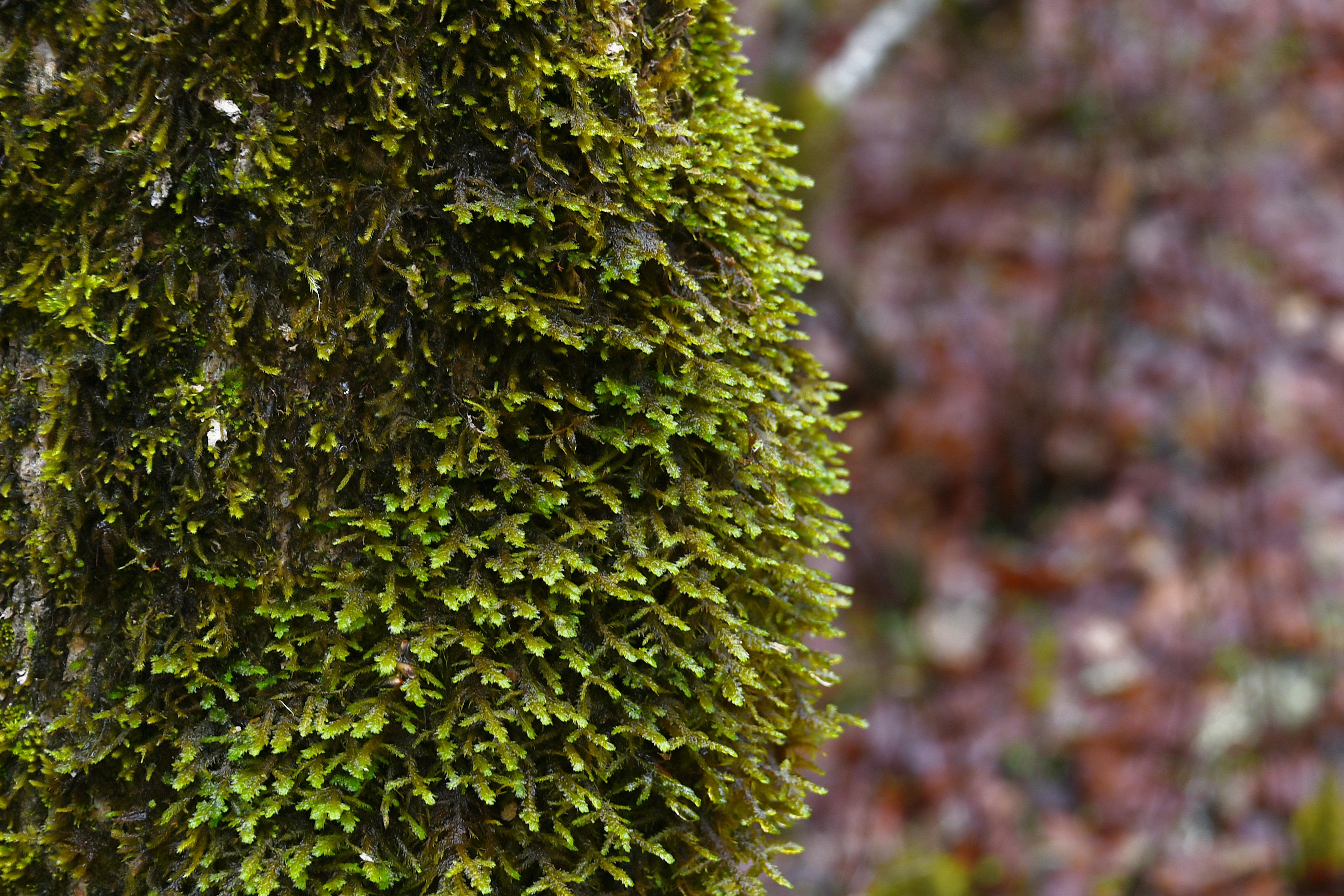
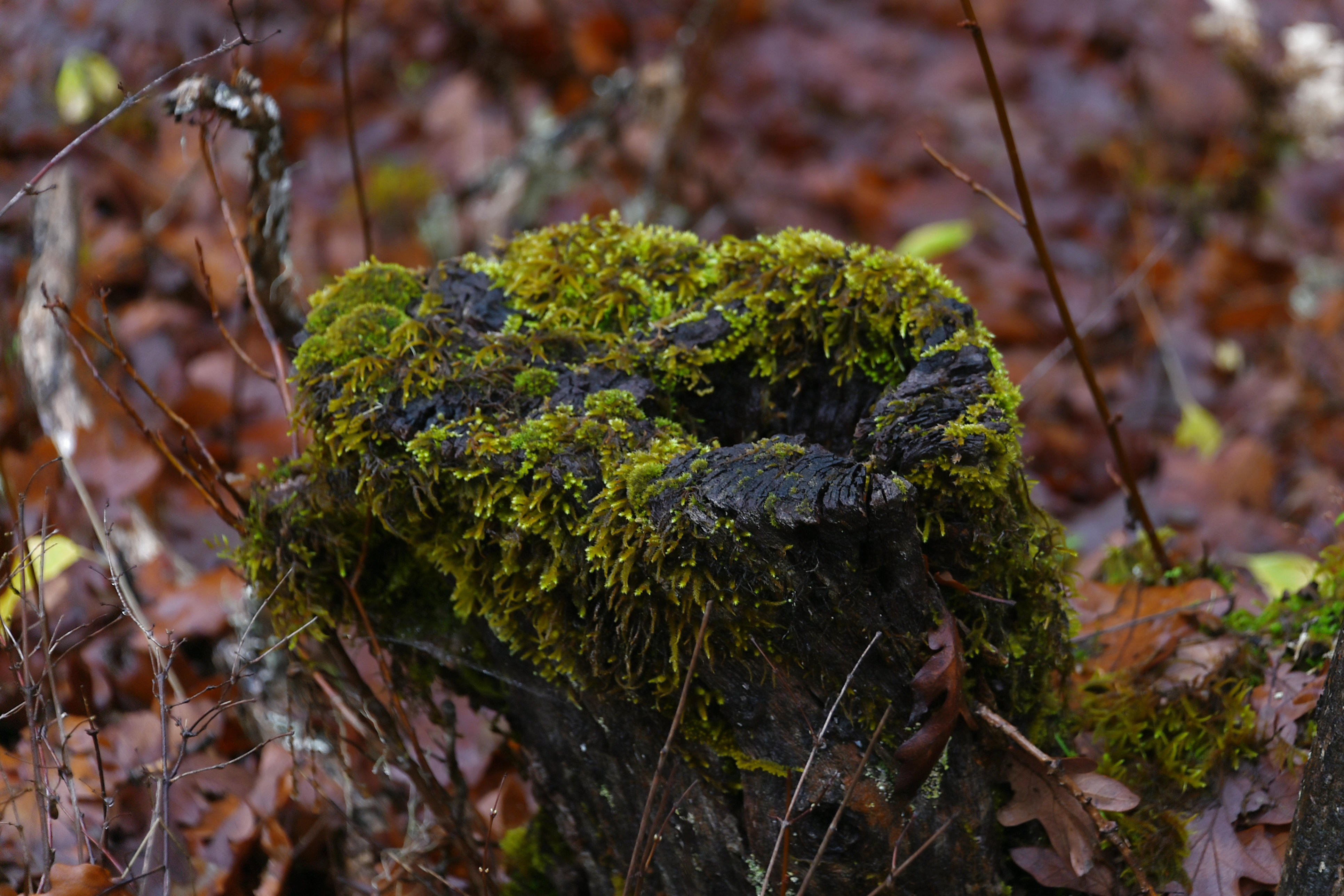
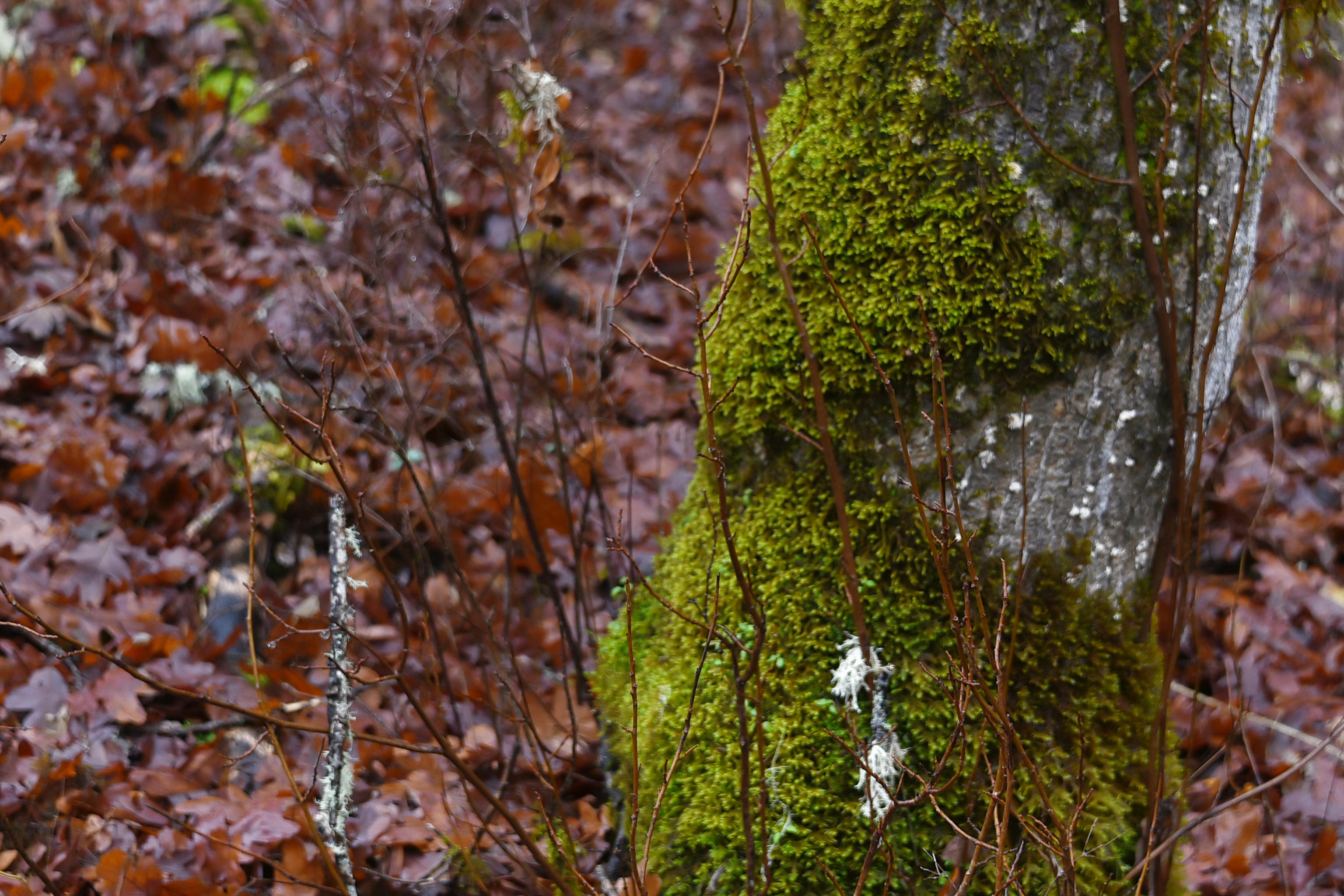
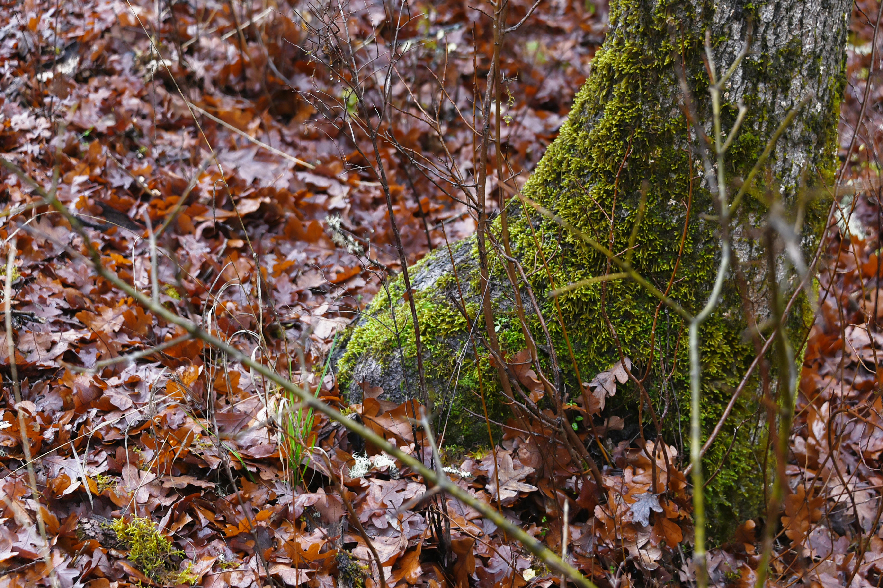
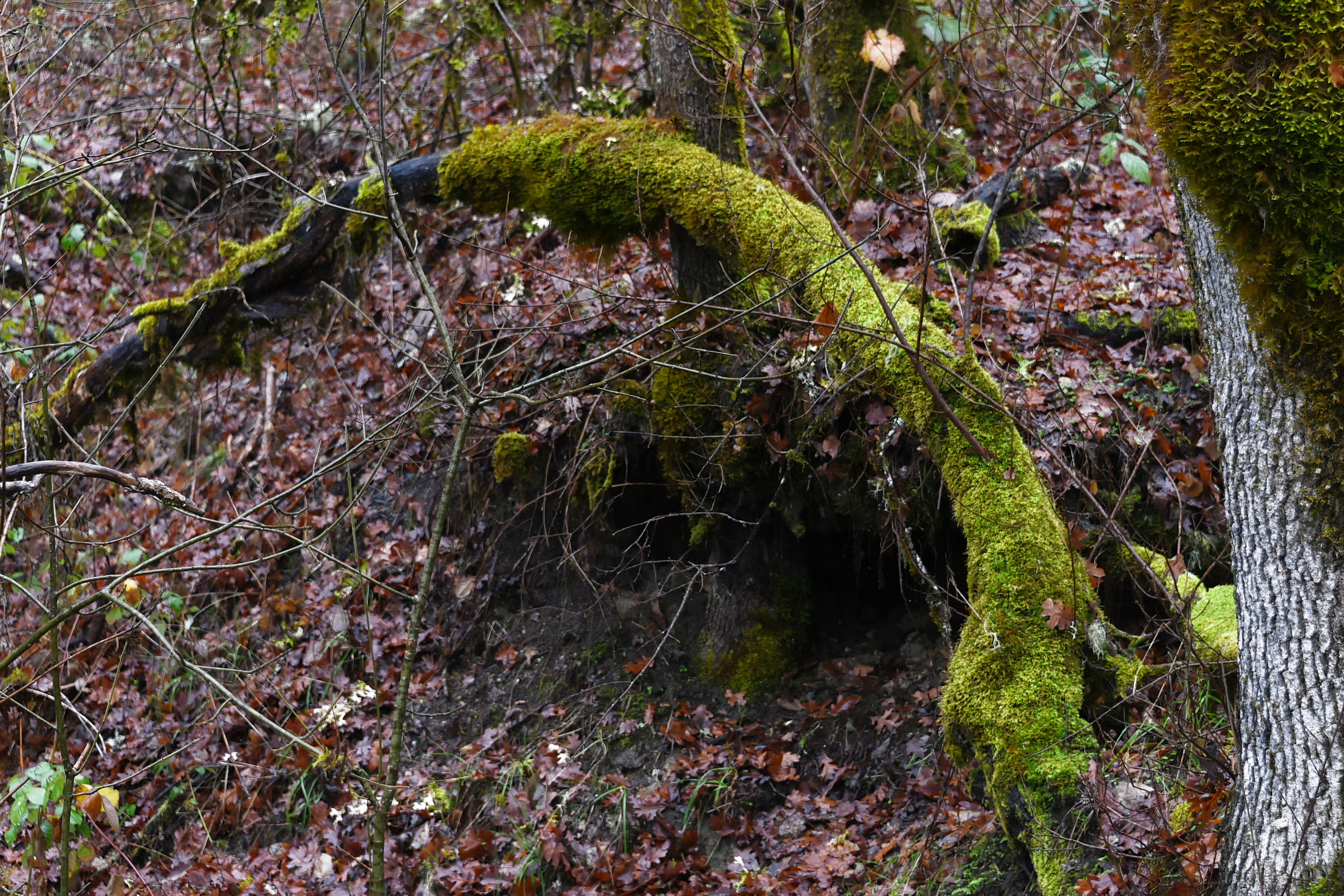
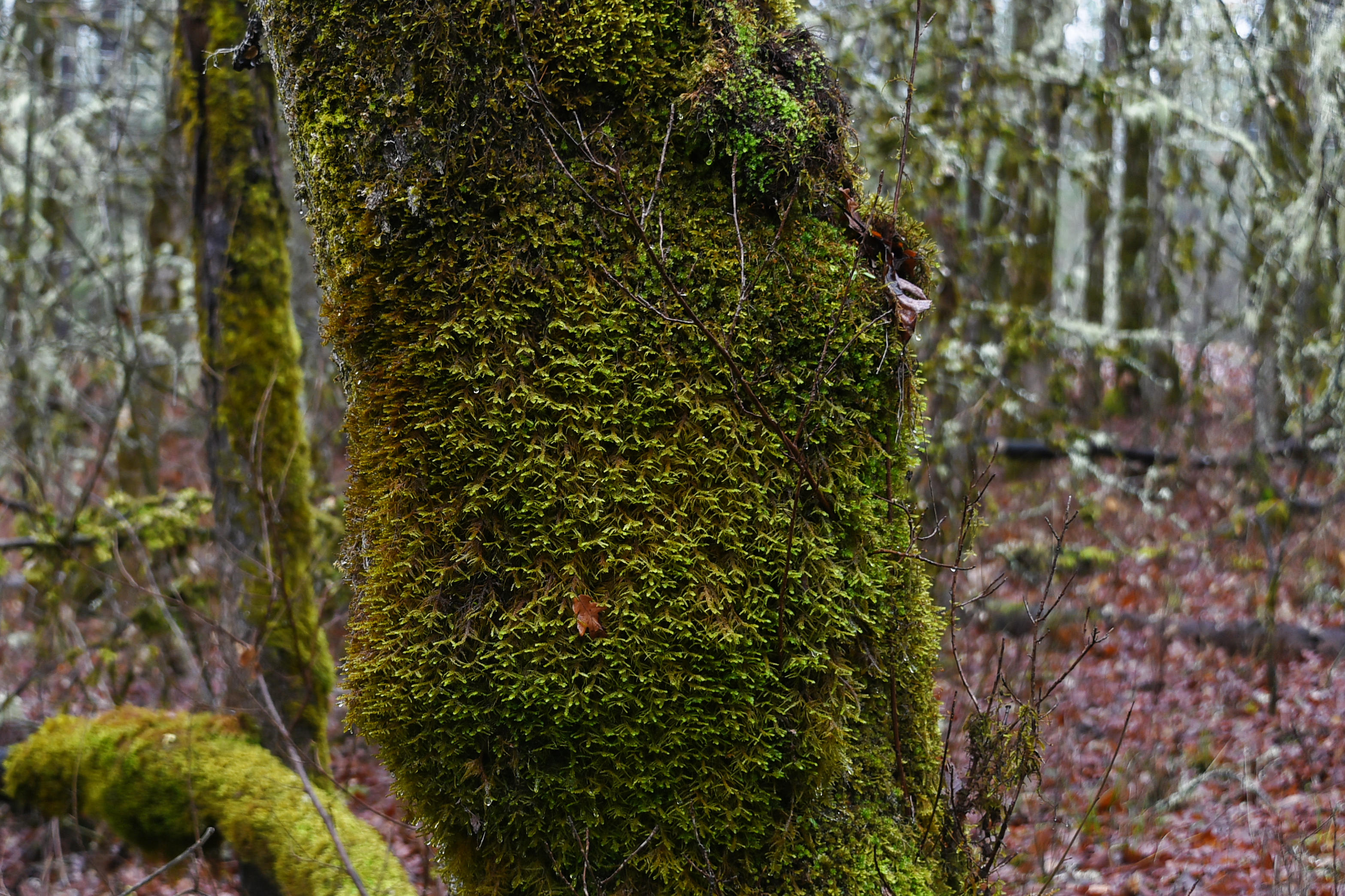
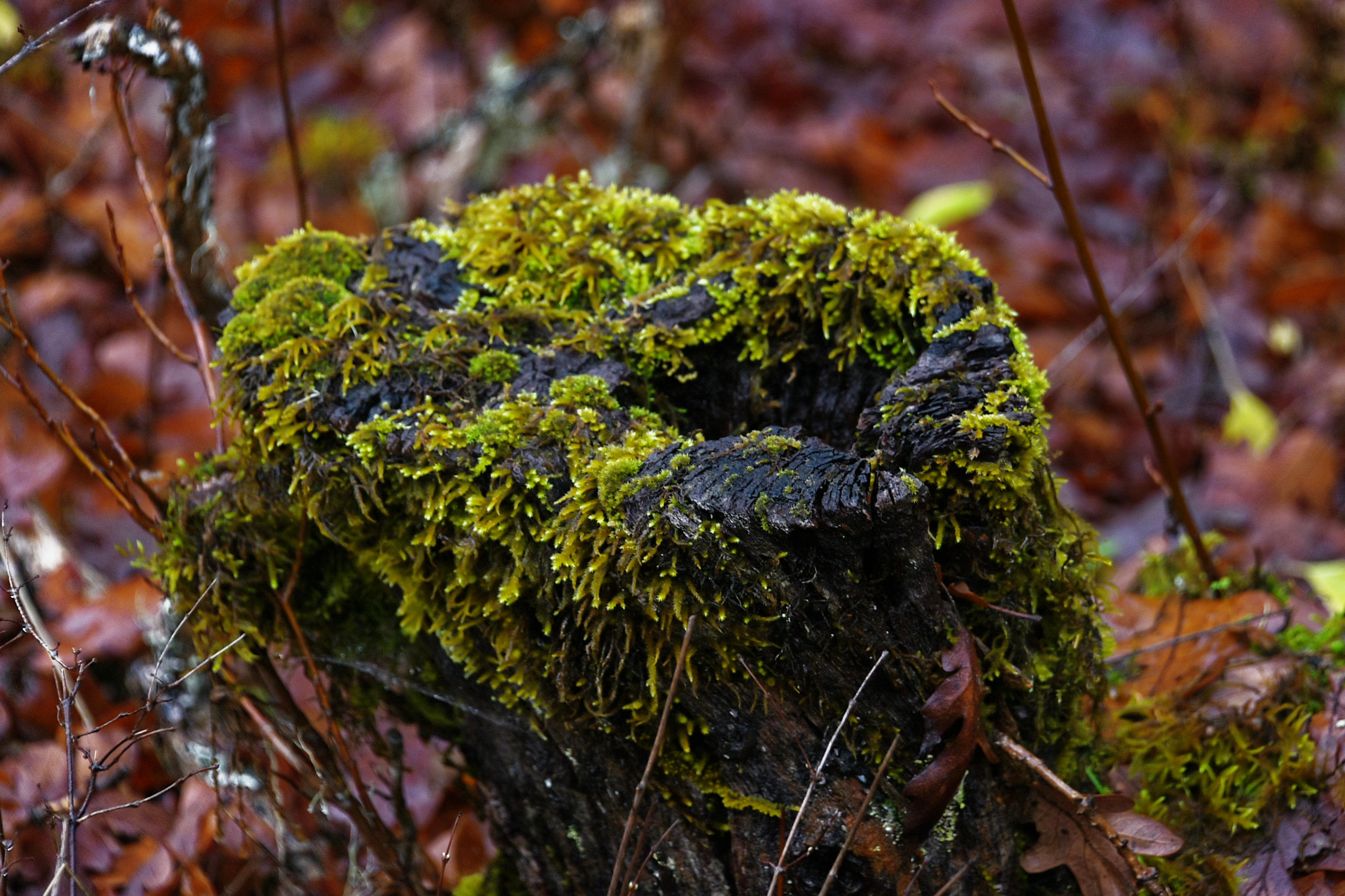
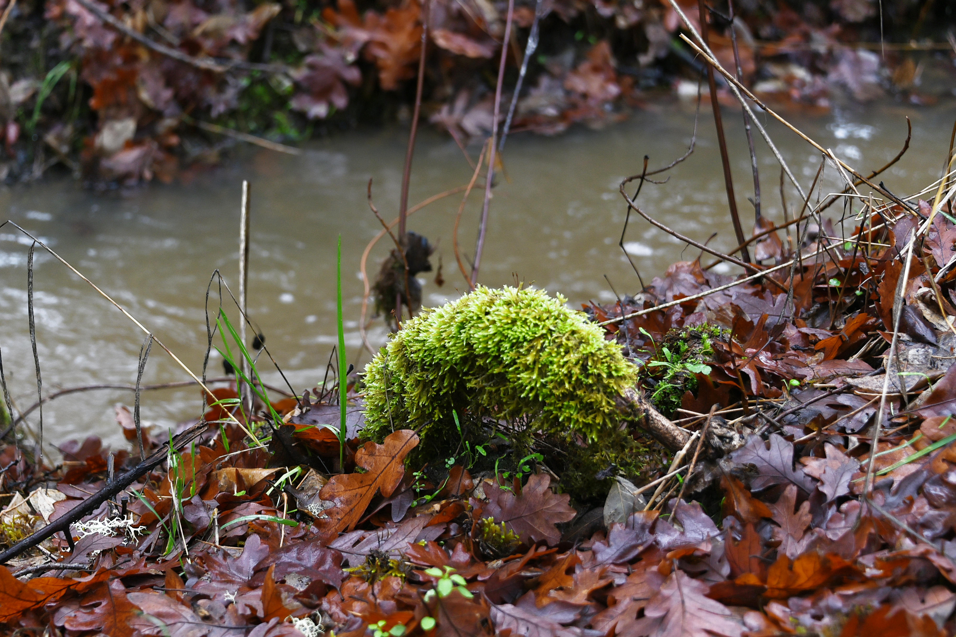
Even in the middle of the winter there are still wonderful sights to be seen!

Picture Parade Five Hundred and Three

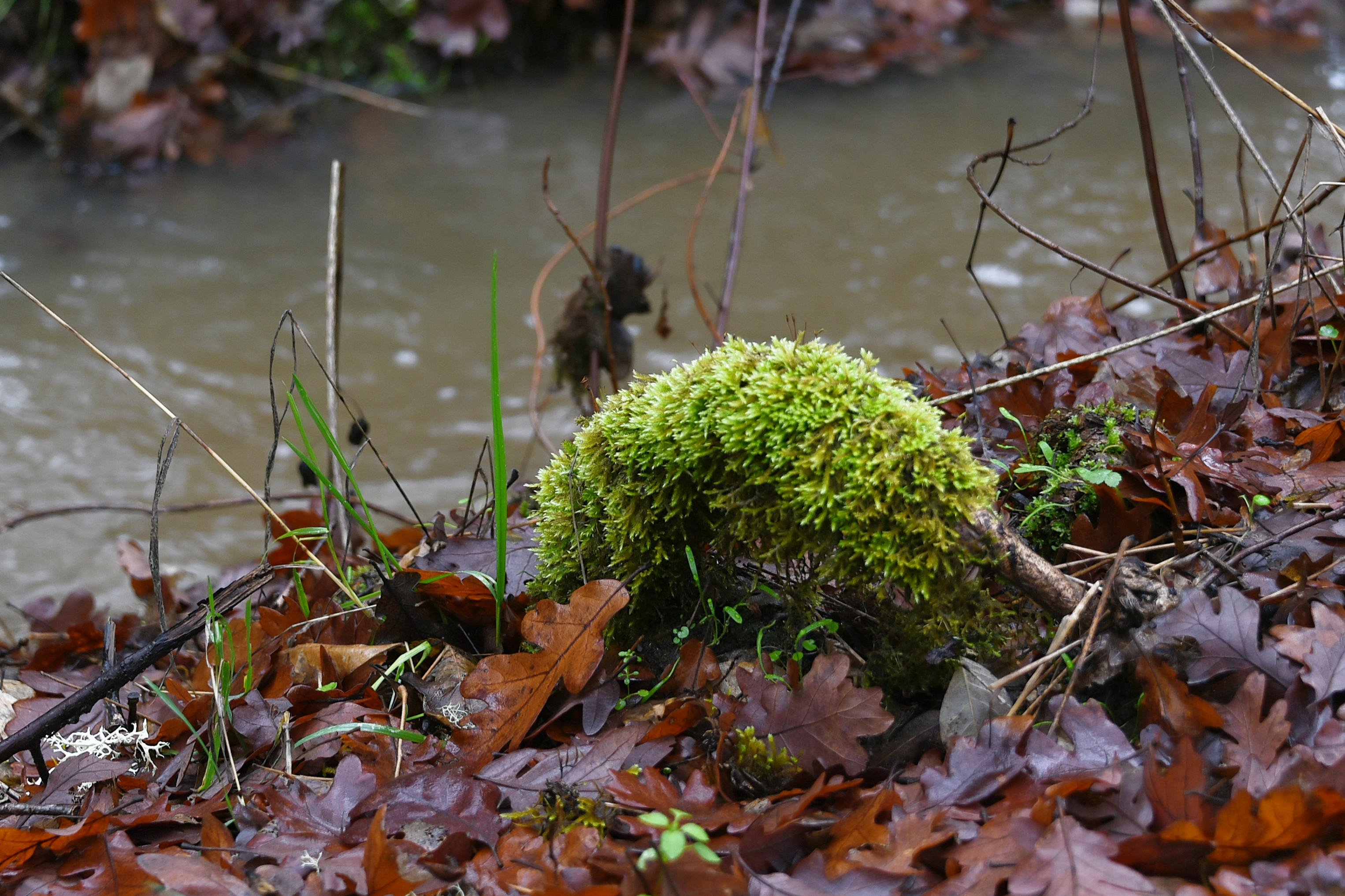
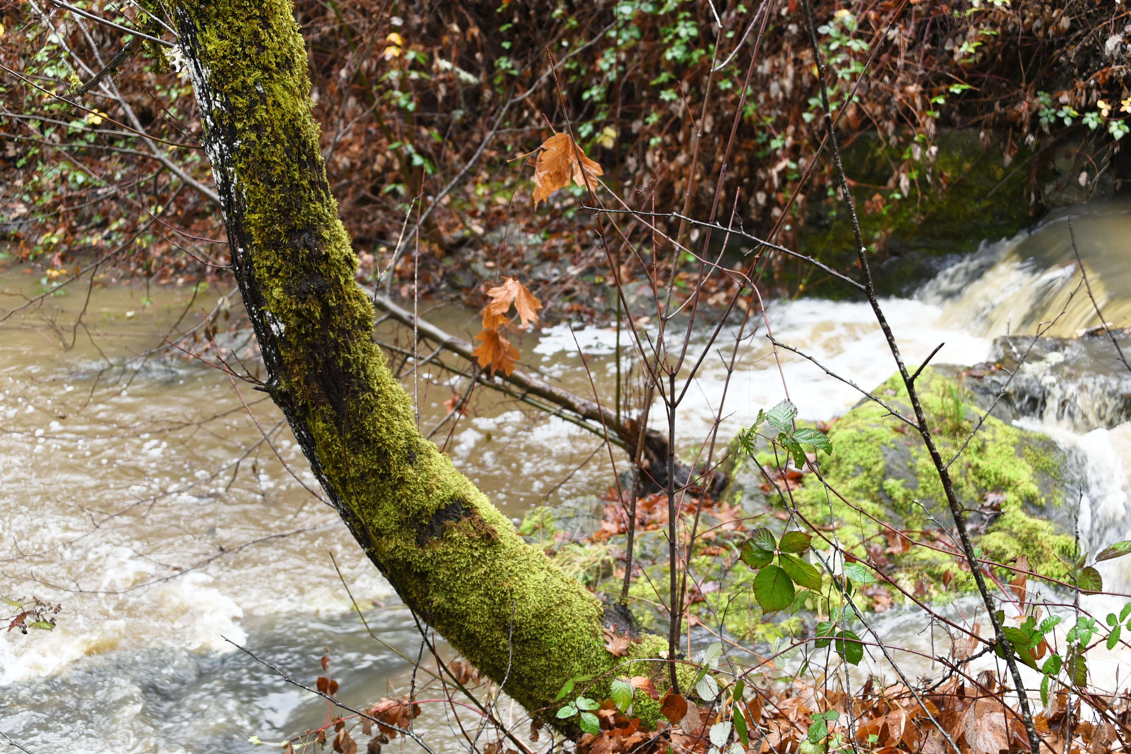
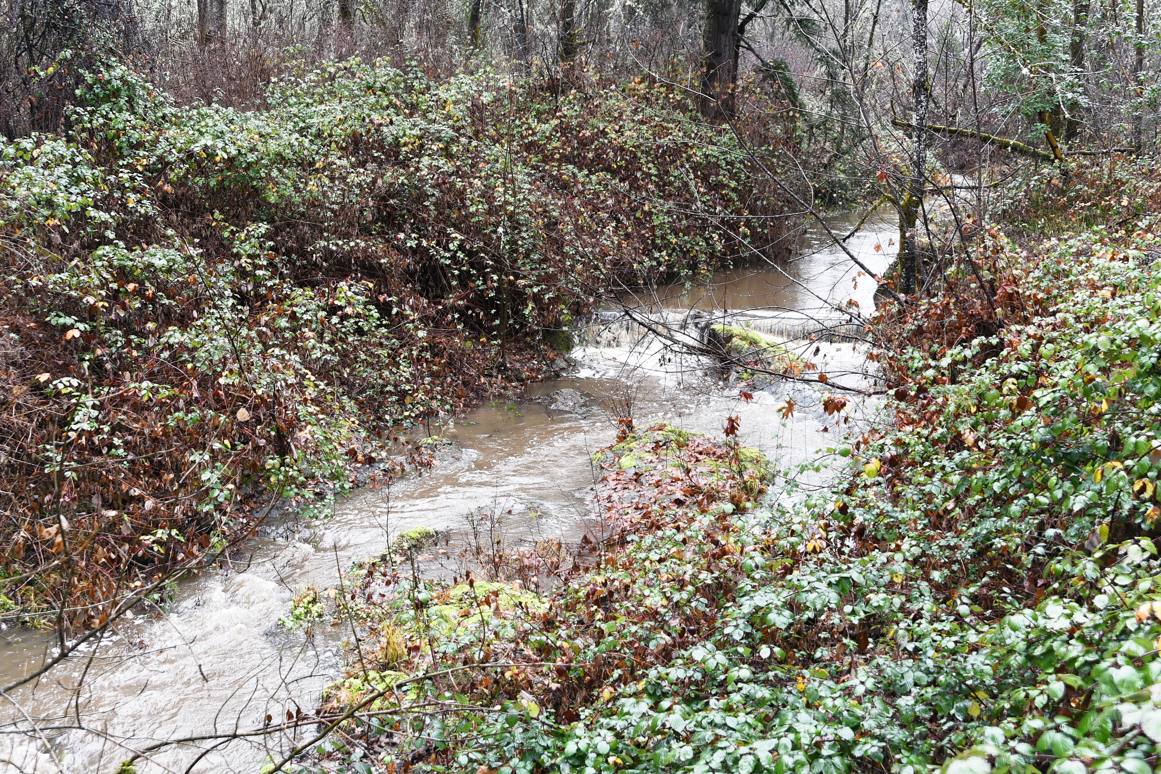
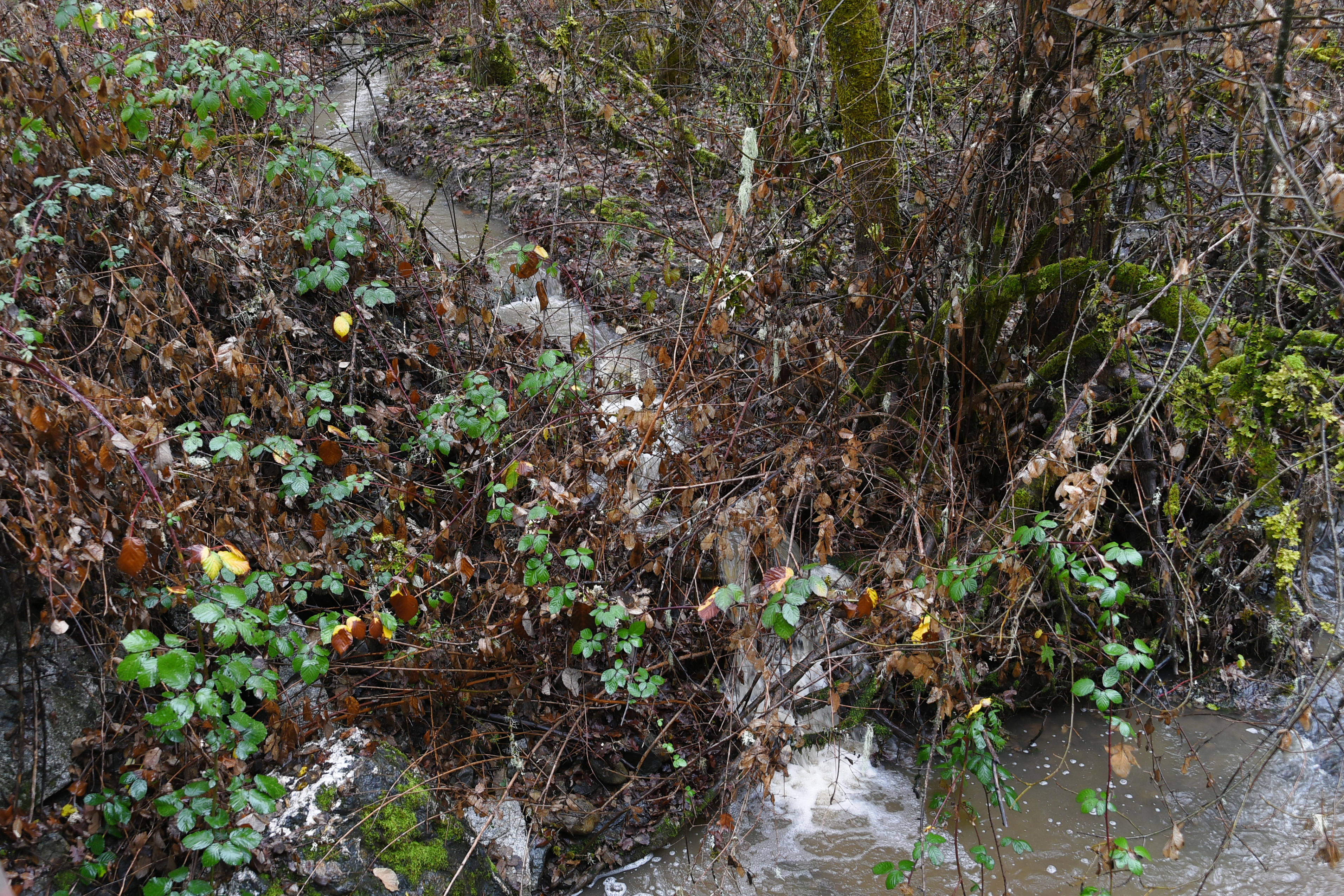
Scenes of our property after a night of very heavy rain, taken on the 21st December.

oooo

oooo

oooo

oooo

oooo

oooo

oooo

oooo

oooo

All taken by yours truly using a Nikon D750.

A worldwide myth.

An incredible fact, as in the truth, that almost nobody will accept.

Until the 22nd November, 2025, that is last Saturday, I believed this lie. A lie that spoke of the dangers, the hazards, the imminent end of the world as I believed it; as in Climate Change!

Very few of you will change your minds, of that I’m sure.

Nonetheless, I am going to republish a long article that was sent to me by my buddy, Dan Gomez.

ooOOoo

Latest Science Further Exposes Lies About Rising Seas

By Vijay Jayaraj

It’s all too predictable: A jet-setting celebrity or politician wades ceremoniously into hip-deep surf for a carefully choreographed photo op, while proclaiming that human-driven sea-level rise will soon swallow an island nation. Of course, the water is deeper than the video’s pseudoscience, which is as shallow as the theatrics.

The scientific truth is simple: Sea levels are rising, but the rate of rise has not accelerated. A new peer-reviewed study confirms what many other studies have already shown – that the steady rise of oceans is a centuries-long process, not a runaway crisis triggered by modern emissions of carbon dioxide (CO2).

For the past 12,000 years, during our current warm epoch known as the Holocene, sea levels have risen and fallen dramatically. For instance, during the 600-year Little Ice Age, which ended in the mid-19th century, sea levels dropped quite significantly.

The natural warming that began in the late 1600s got to a point around 1800 where loss of glacial ice in the summer began to exceed winter accumulation and glaciers began to shrink and seas to rise. By 1850, full-on glacial retreat was underway.

Thus, the current period of gradual sea-level increase began between 1800-1860, preceding any significant anthropogenic CO2 emissions by many decades. The U.S. Department of Energy’s 2025 critical review on carbon dioxide and climate change confirms this historical perspective.

“There is no good, sufficient or convincing evidence that global sea level rise is accelerating –there is only hypothesis and speculation. Computation is not evidence and unless the results can be practically viewed and measured in the physical world, such results must not be presented as such,” notes Kip Hansen, researcher and former U.S. Coast Guard captain.

New Study Confirms No Crisis

While activists speak of “global sea-level rise,” the ocean’s surface does not behave like water in a bathtub. Regional currents, land movements, and local hydrology all influence relative sea level. This is why local tide gauge data is important. As Hansen warns, “Only actually measured, validated raw data can be trusted. … You have to understand exactly what’s been measured and how.”

In addition, local tide-gauge data cannot be extrapolated to represent global sea level. This is because the geographic coverage of suitable locations for gauges is often poor, with the majority concentrated in the Northern Hemisphere. Latin America and Africa are severely under-represented in the global dataset.  Hansen says, “The global tide gauge record is quantitatively problematic, but individual records can be shown as qualitative evidence for a lack of sea-level rise acceleration.”

A new 2025 study provides confirmation. Published in the Journal of Marine Science and Engineering, the study systematically dismantles the narrative of accelerating sea-level rise. It analyzed empirically derived long-term rates from datasets of sufficient length – at least 60 years – and incorporated long-term tide signals from suitable locations.

The startling conclusion: Approximately 95% of monitoring locations show no statistically significant acceleration of sea-level rise. It was found that the steady rate of sea-level rise – averaging around 1 to 2 millimeters per year globally – mirrors patterns observed over the past 150 years.

The study suggests that projections by the Intergovernmental Panel on Climate Change (IPCC), which often predicts rates as high as 3 to 4 millimeters per year by 2100, overestimate the annual rise by approximately 2 millimeters.

This discrepancy is not trivial. It translates into billions of dollars in misguided infrastructure investments and adaptation policies, which assume a far worse scenario than what the data support. Because we now know that local, non-climatic phenomena are a plausible cause of the accelerated sea level rise measured locally.

Rather than pursuing economically destructive initiatives to reduce greenhouse gas emissions on the basis of questionable projections and erroneous climate science, money and time should be invested in supporting coastal communities with accurate data for practical planning to adapt to local sea level rise.

Successful adaptation strategies have existed for centuries in regions prone to flooding and sea-level variations. The Netherlands is an excellent example of how engineering solutions can protect coastal populations even living below sea level.

Rising seas are real but not a crisis. What we have is a manageable, predictable phenomenon to which societies have adapted for centuries. To inflate it into an existential threat is to mislead, misallocate, and ultimately harm the communities that policymakers claim to protect.

This commentary was first published by PJ Media on September 10, 2025.

Vijay Jayaraj is a Science and Research Associate at the CO₂ Coalition, Fairfax, Virginia. He holds an M.S. in environmental sciences from the University of East Anglia and a postgraduate degree in energy management from Robert Gordon University, both in the U.K., and a bachelor’s in engineering from Anna University, India.

ooOOoo

I shall be returning to this important topic soon. Probably by republishing that 2025 Study referred to in the above article.

I hope that you read this post.

Thank you, Dan.