Category: tourism

A sudden rainstorm, here at home

The power of water.

Last Saturday evening, the 5th September, 2026, we had a violent and sudden rainstorm. In twenty-four minutes 0.85” of rain fell. Luckily there was no damage.

On Thursday, The Conversation published a post about the potential dangers of hiking in canyons when storms hit,

ooOOoo

Hiking canyons can quickly turn deadly when storms hit – what you should know before going in
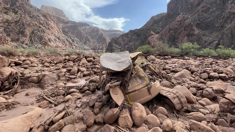
Mangled construction equipment is partially buried in boulders on the canyon floor.
Mud and debris, including a mangled piece of construction equipment, remain after a flash flood in Grand Canyon National Park on Aug. 31, 2026. Katherine Hensel/National Park Service via AP

Anner Paldor, University of Tennessee

Hiking a picturesque valley or climbing a craggy gorge are some of the most exhilarating experiences in nature. As a geologist, I have hiked and climbed some of the most intense terrains in the world, including in the Andes, Middle Eastern deserts, the Balkans and the Appalachians.

I am particularly drawn to canyons that provide beautiful windows into the rock record and the geologic history of a place. However, these narrow valleys can quickly become extremely dangerous when water pours in.

At Grand Canyon National Park in Arizona, at least two hikers died and a third was missing after powerful monsoon storms sent a deluge into one of the narrowest parts of the canyon on Aug. 29, 2026. Two of the survivors who were rescued described seeing the water quickly rise over the trail as they clung to a ledge, fearing they might never see their families again.

People stand on the rim of the Grand Canyon as a storm moves through.
A storm moves into the Grand Canyon. AP Photo/John Locher

So, how do you balance a love for outdoor activity with managing this risk and hike canyons safely?

Why canyons are prone to flash floods

To understand the dynamics of a flash flood, it helps to start with the geomorphologic aspect – understanding the landforms and how they change over time.

In canyons and arroyos – steep gullies common to the Southwest – flash flooding can occur even when the heavy rainfall happens great distances away. A person can be hiking under clear skies in the canyon and not be aware that heavy rain falling upstream or even outside of the canyon means a disaster is unfolding.

The steep gradients and narrow passageways that define these landscapes channel the water, sending vast amounts of it rushing downstream. Under these conditions, water can rise quickly in the narrow space of a canyon.

Timelapse images of the radar shows strong storms upstream and over Bright Angel Canyon ahead of the flood.
Time-lapse radar shows the storms moving over the regions of the Grand Canyon where the flood hit, near Phantom Ranch. Anner Paldor; Iowa Environmental Mesonet

The Grand Canyon flood involved heavy downpours in the heart of monsoon season. The intensity of the rainfall matters in a canyon. Even in arid regions, which generally get low amounts of rain annually, heavy rainfall within a short period of time can create devastating floods.

In 2018, a flash flood in Israel’s Tzafit Canyon – an environment similar to the part of the Grand Canyon where the 2026 flood occurred – claimed the lives of 10 recent high school graduates who were hiking in the canyon.

I grew up in that region and had hiked there many times, and I remember thinking about the incomprehensible suddenness: One moment you are appreciating the breathtaking views of the desert, and within minutes you are fighting a torrent of water you never imagined in such an arid place. A year’s worth of rain fell near the canyon that day.

The hydrogeologic aspect

How well the ground absorbs water also affects flood dynamics. Soils that are highly porous and permeable can transmit water easily vertically into the ground.

However, in arid regions such as Arizona and the Negev Desert, where Tzafit Canyon lies, the dry ground tends to form hardened crusts that make it harder for the water to sink in. That exacerbates surface flooding.

Two people wait on a rocky canyon floor for a helicopter in the distance.
Dozens of people were evacuated by helicopter from the canyon after the flood. Katherine Hensel/National Park Service via AP

What’s more, the lack of vegetation in dry and rocky environments means that water can flow more rapidly down slopes.

What should hikers do to stay safe?

As an avid hiker, I value the beauty of nature and geology that canyons offer, and I believe in enjoying them. However, it is important to understand the risks and to prepare before hiking, climbing or backpacking in these areas.

Carefully study your environment before going in, so you know the risks and the escape routes that will let you get to safety in the event of a flash flood.

An elevation map of the area where the flood happened shows the steepness
An elevation map of the Grand Canyon shows how narrow and steep it is, with 1,500-meter drop over an area less than 5 miles. The white dot shows the location where people were rescued from the flood on Aug. 29, 2026. Anner Paldor; Data Basin, using ESRI, Census Bureau, NOAA, National Ocean Service, National Geodetic Survey, USGS, TomTom, CC BY

Gear up properly. Prepare for your trip so you have the equipment you need. Make sure you have a flashlight with extra batteries, a whistle to signal first responders, and extra clothes in case you get wet. If you know you will be hiking in high-risk water zones, you may consider an inflatable personal flotation device.

Talk to park rangers before going in so you know the current conditions and so someone knows where you’re going.

Always be aware of the weather – not just above you but upstream. Clear skies can be deceptive. An added challenge is that cellular service is often shaky in deep canyons and remote areas. Check the weather forecast before you go down a canyon, not just for the specific location, but also for the surrounding area. The National Weather Service provides warnings of flash floods and other extreme weather events.

When you are in a canyon, a good general guideline is to try to stay as high as possible and to be alert to the sound of an incoming flood. One person described the rush of water in the Grand Canyon sounding like a freight train.

If heavy rain starts, use extra caution and seek higher ground. Be aware that the timing of floods can vary widely – scientists analyzed 74,814 flash flood events in the U.S. and found the average duration was around 3½ hours, but some persisted for more than 48 hours. A flood can start quickly and strand people for long periods of time. Muddy water or debris in a normally clear stream are two signs of flooding developing. Rising water or the distant sound of rushing water is another clear warning to get to safety fast.

There are always risks in nature, but that does not mean you should avoid being out in nature. Planning ahead and hiking with caution and awareness can help you enjoy the beautiful outdoors and come back home safely.

Anner Paldor, Professor of Hydrogeology, University of Tennessee

This article is republished from The Conversation under a Creative Commons license. Read the original article.

ooOOoo

There are a number of excellent tips in this article. The one that stood out for me was making sure that the park rangers know where you are going.
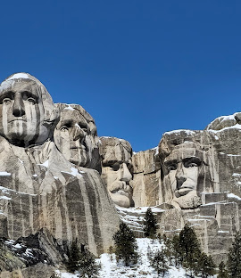
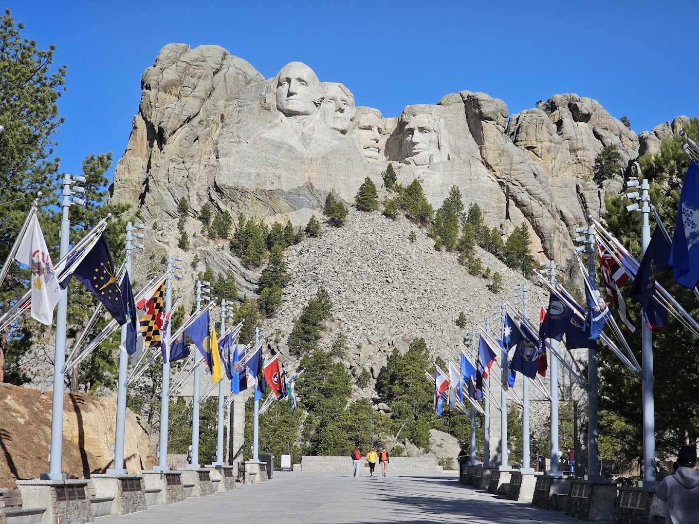
Picture Parade Five Hundred and Twelve

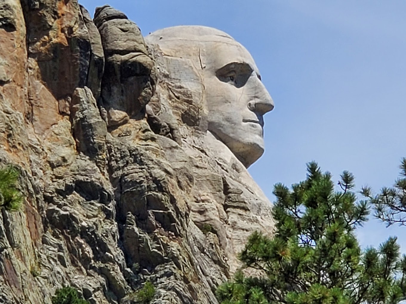
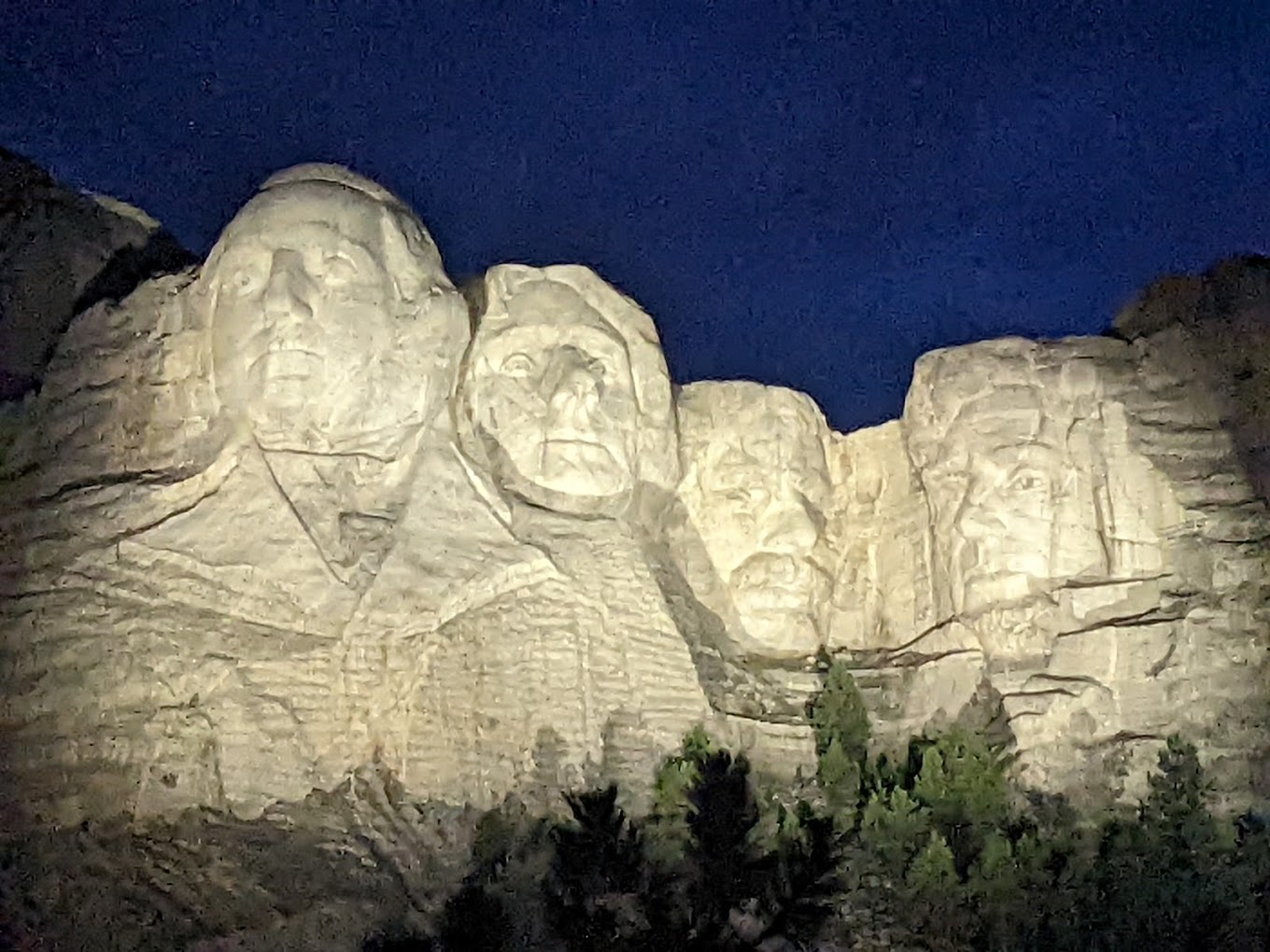
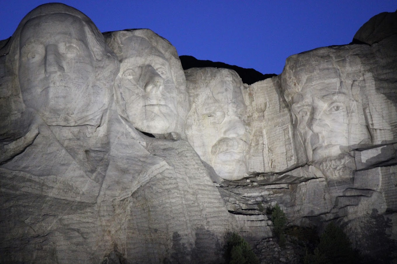
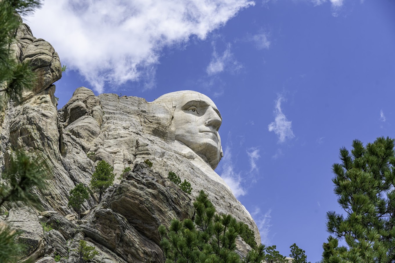
In honour of July 4th and America’s 250th birthday.

(And they were to be shown on the 22nd February but the snowy scenes took priority.)

These are photographs of Mount Rushmore Natioanl Memorial.

They have not be taken by me and hopefully the photographers who did take them will allow me to republish them,

oooo

oooo

oooo

oooo

Gutzon Borglum was the principal sculptor at Mt Rushmore

oooo

oooo

Impressive!

Gutzon Borglum did an incredible work of sculpture. Just amazing!

Oregon – The Beaver State.

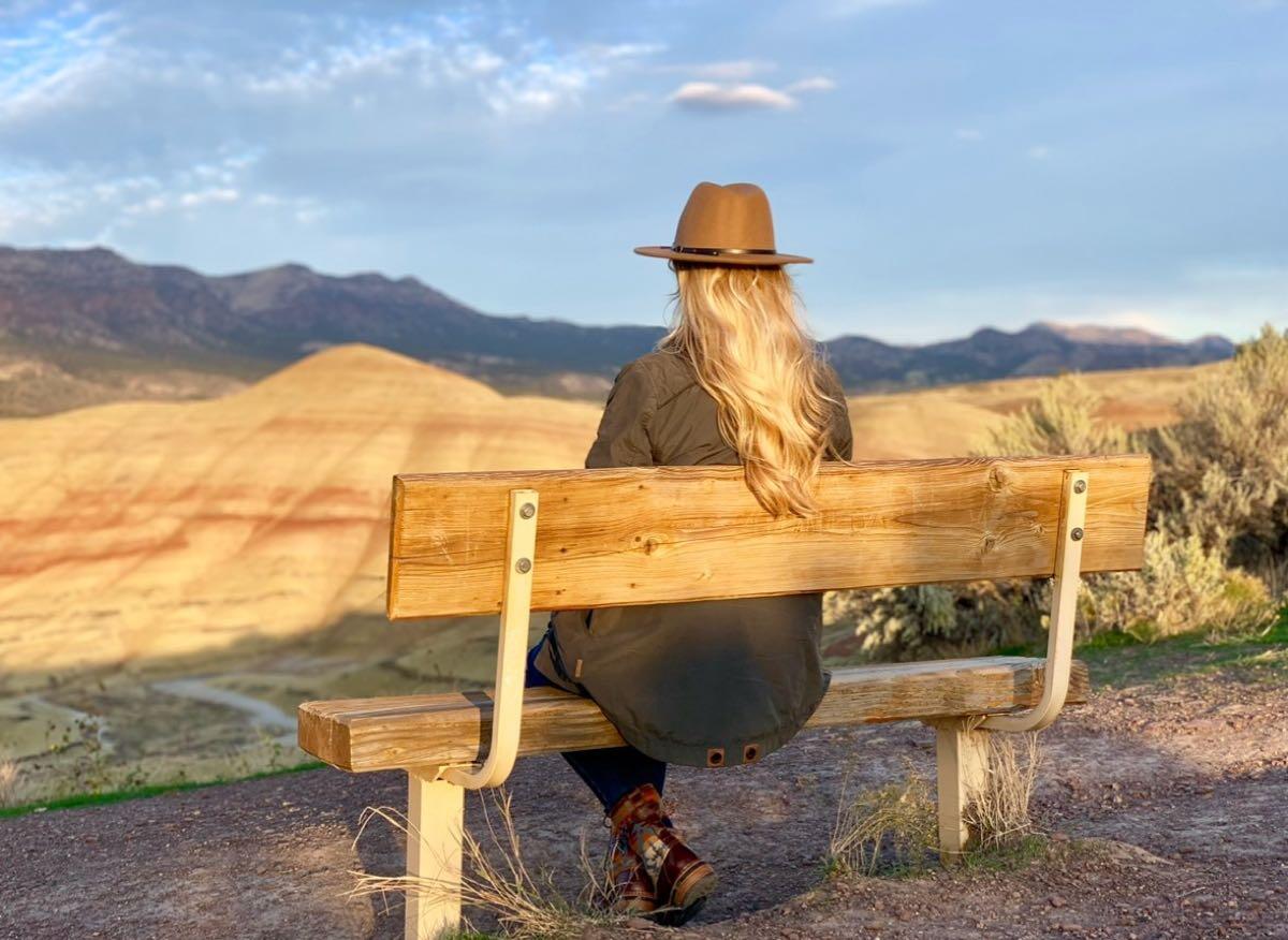
I am republishing a NextDoor News Feed created by Sammie Nolan that I read yesterday. Here is the photo that accompanied the note.

And here is that news item:

Happy Birthday, Oregon! 🥳

Today, February 14, 2026, the Beaver State officially turns 167 years old.

Oregon joined the Union as the 33rd state on Valentine’s Day in 1859, making it the only state to share its birthday with the holiday of love. 🥰

That is Sammie sitting on the bench and the photograph was taken at the Painted Hills. Some more information on Painted Hills courtesy of WikiPedia.

The Painted Hills is a geologic site in Wheeler County, Oregon that is one of the three units of the John Day Fossil Beds National Monument along with Sheep Rock and Clarno. It totals 3,132 acres and is located 9 miles northwest of Mitchell, Oregon. The Painted Hills are listed as one of the Seven Wonders of Oregon. Wikipedia

The recent full moon

Some beautiful photos of the last full moon.

There was something really special about the last full moon. We watched as the moon rose on the very early nights of February, 2026 and I wished I had taken some photos. But no problem as YouTube had captured the images of the moon taken by others.

The Snow Moon in 2026 was the full moon that lit up the night sky on February 1, 2026, reaching its peak illumination around 5:09 p.m. EST (around 22:09 UTC) that evening. Because the moon appears full for a couple of nights around that moment, it was visible as a bright, full lunar disk on the nights of February 1 and 2. It’s traditionally called the “Snow Moon” because February is usually one of the snowiest months in the Northern Hemisphere. Here are some gorgeous images from our talented community of photographers. Enjoy them!

Picture Parade Four Hundred and Eighty-Seven

A return to Unsplash. (And this time not dogs!)

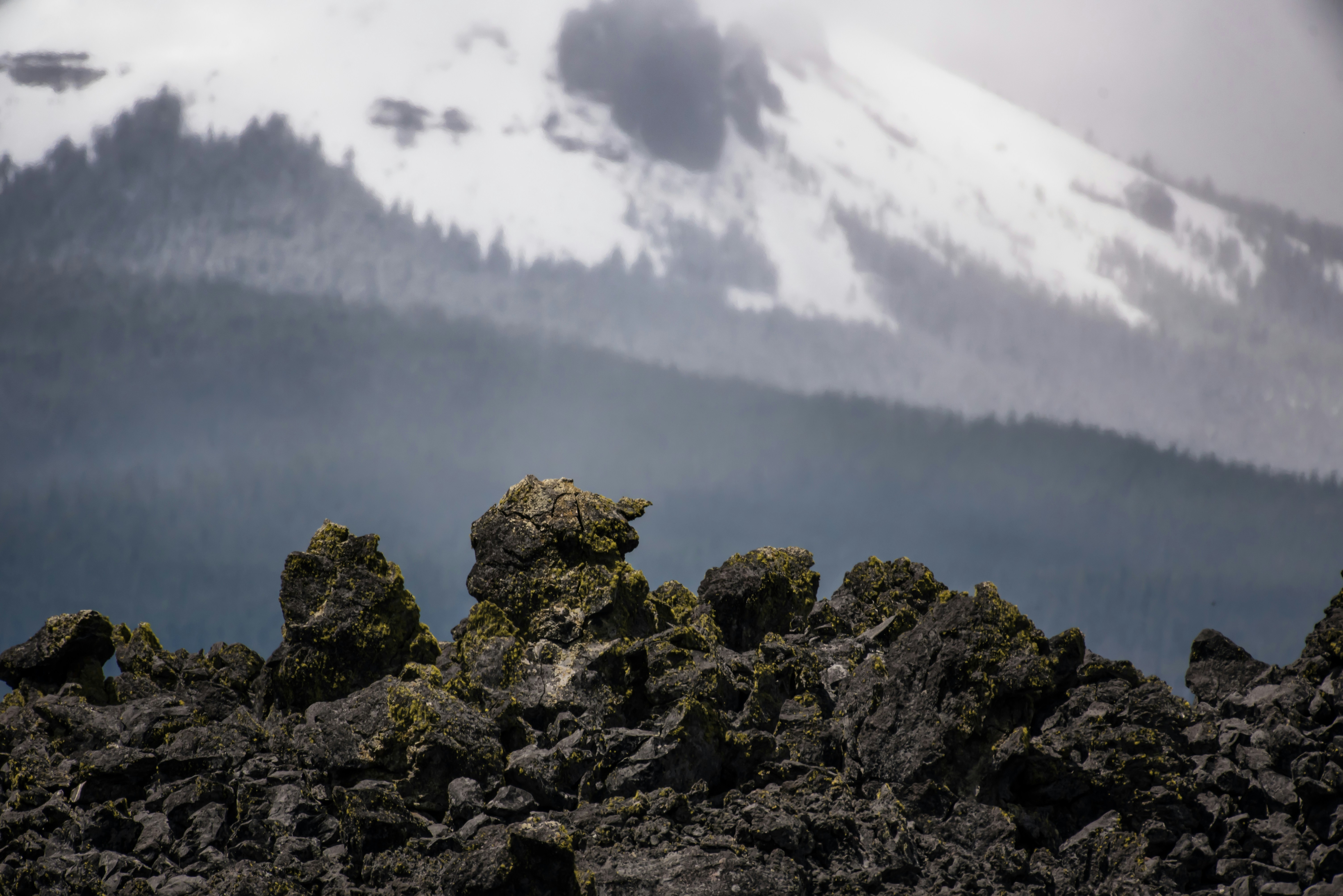
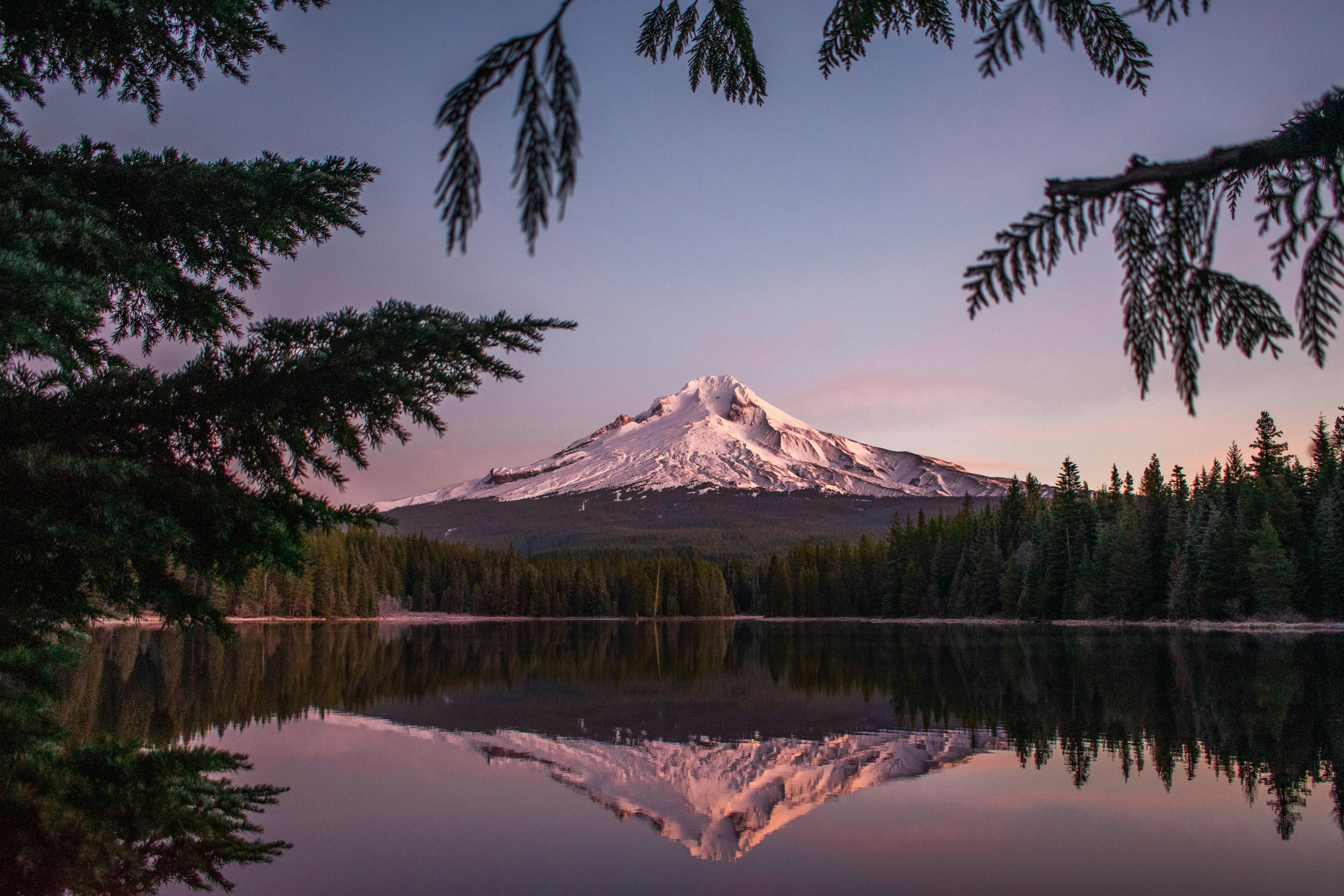
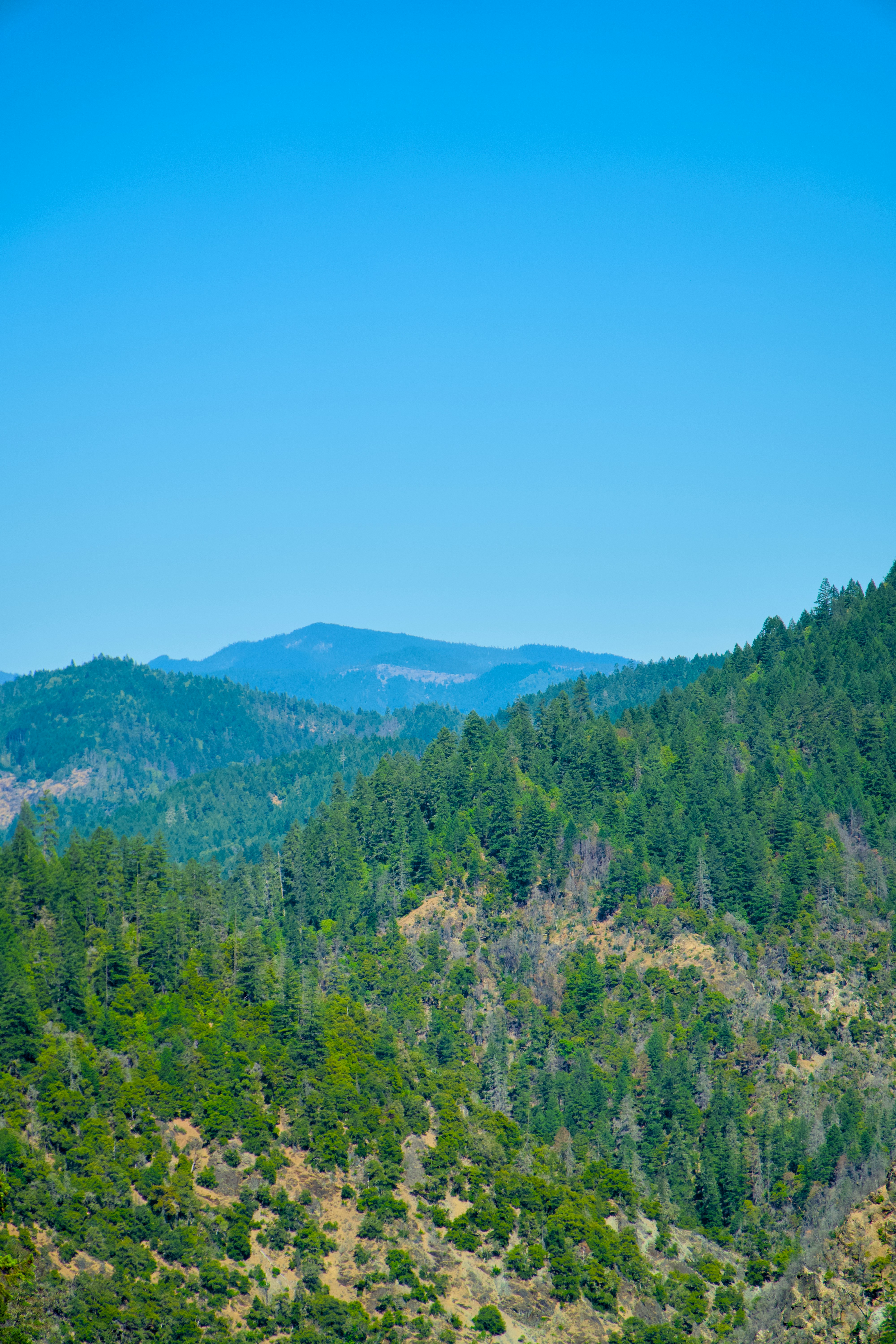
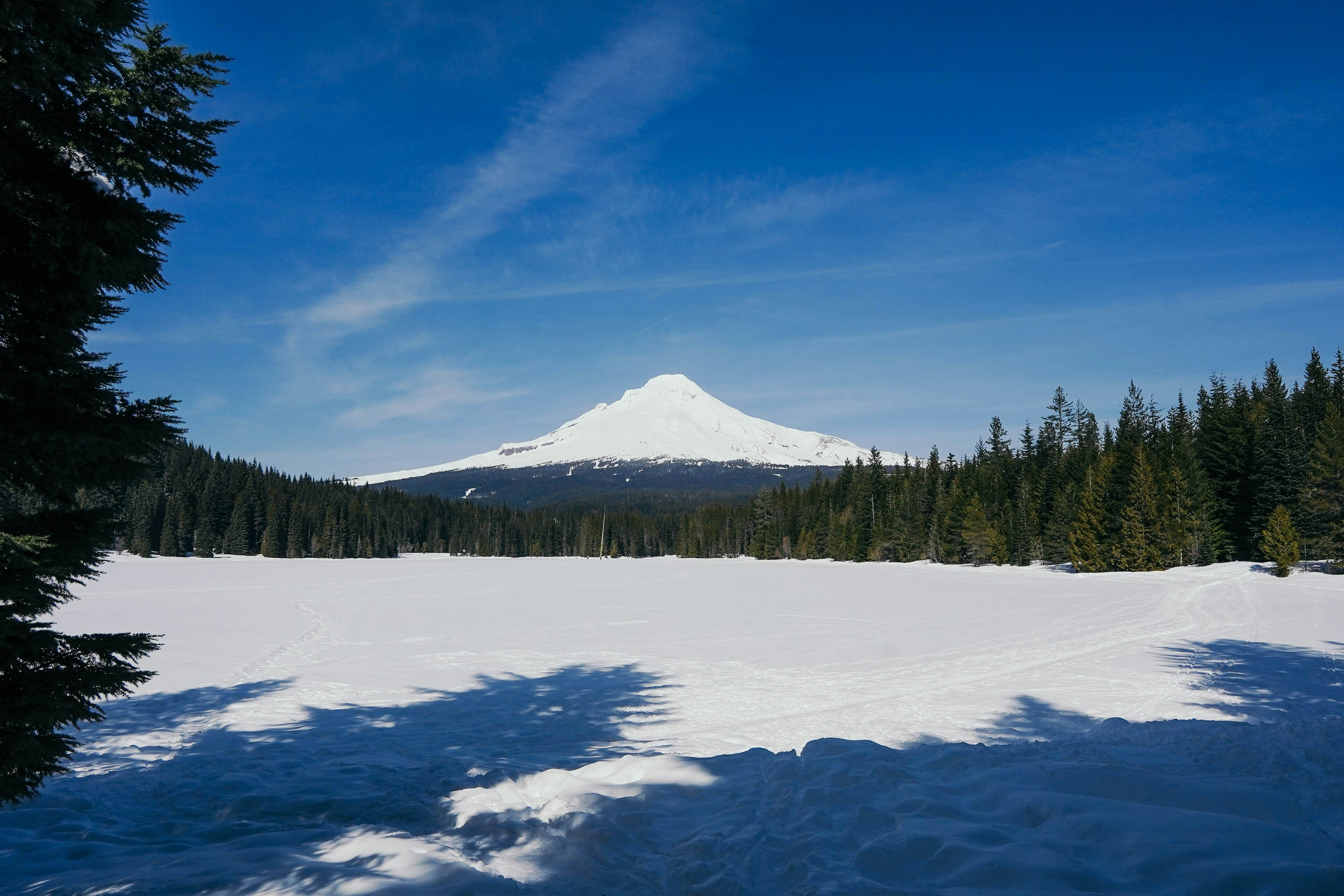
Oregon Landscapes

Photo by Daniel Seßler on Unsplash

oooo

Photo by Tyler Price on Unsplash

oooo

Photo by Adam Blank on Unsplash

oooo

Photo by Nathan Anderson on Unsplash

oooo

Photo by Bridget Smith on Unsplash

oooo

Photo by Spencer DeMera on Unsplash

oooo

Photo by Alex Haney on Unsplash

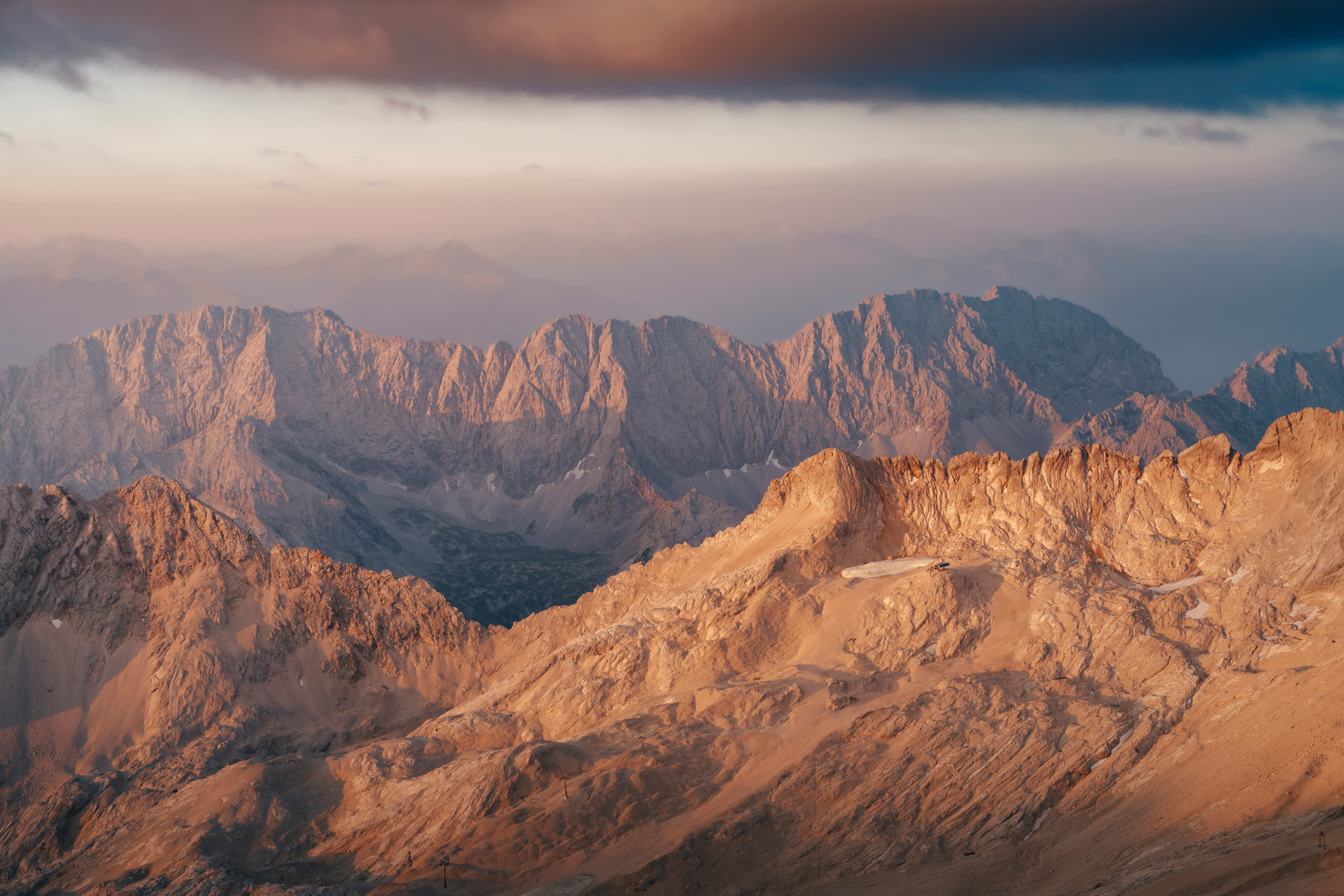
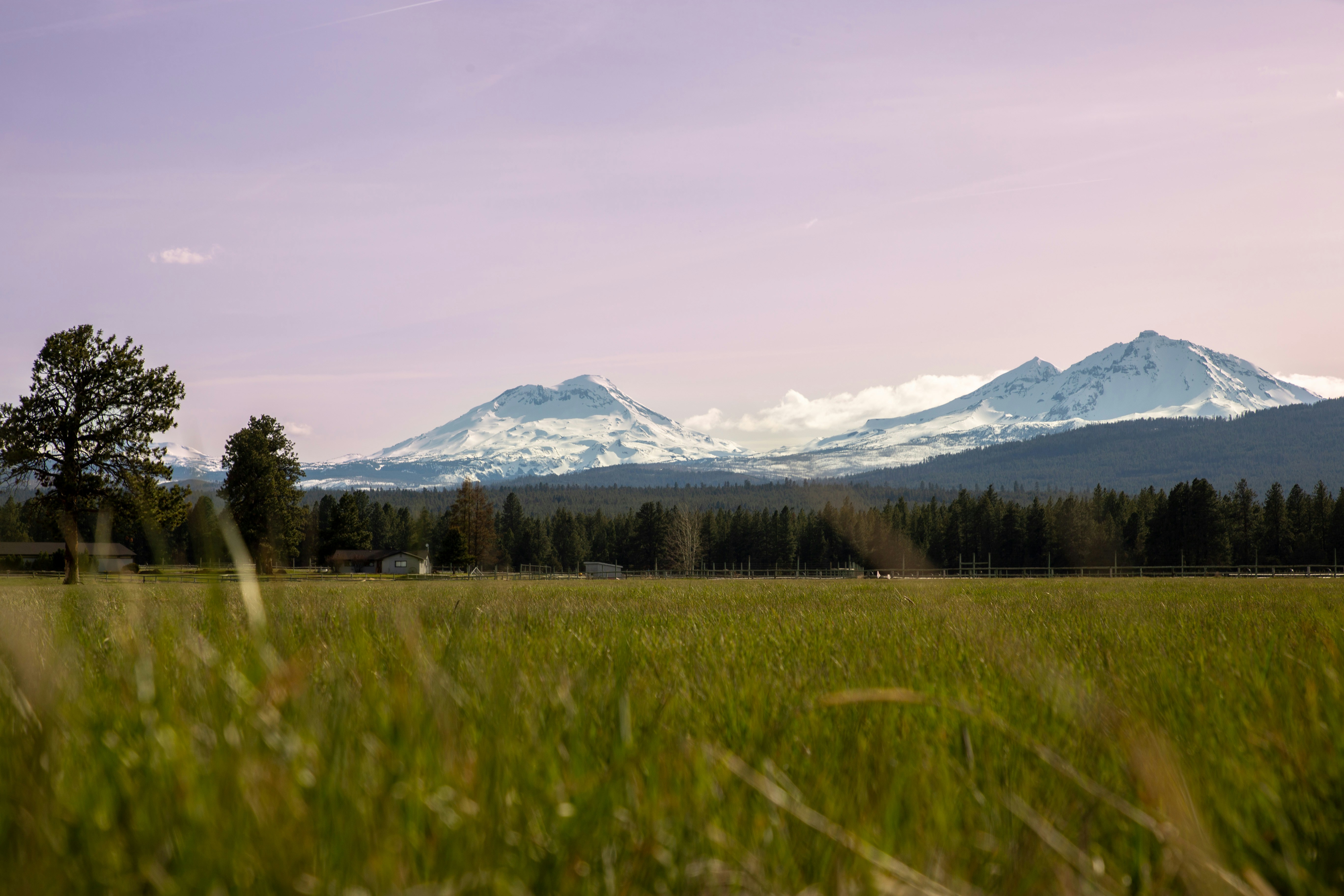
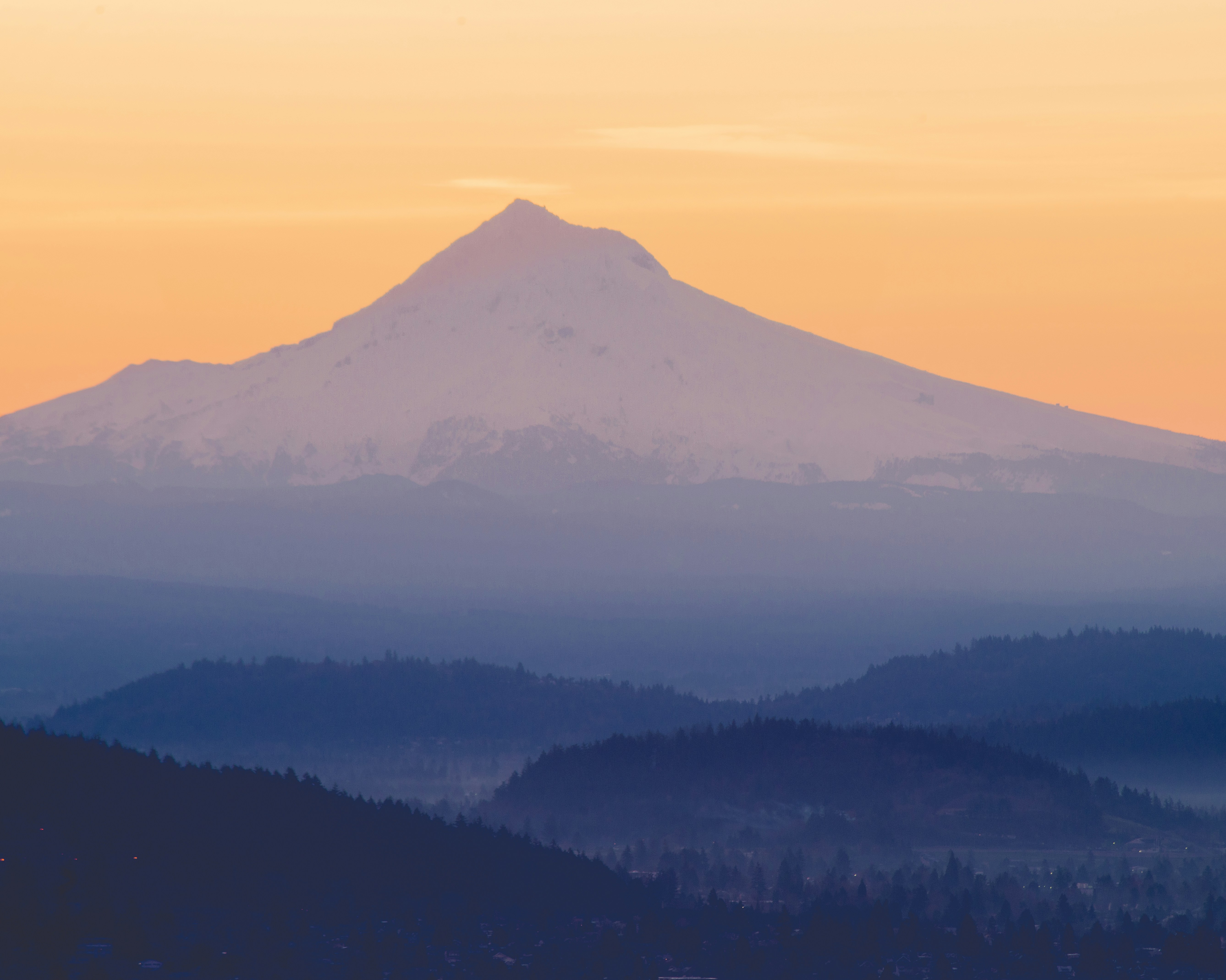
These are mainly mountain views but endorse the beauty of the State of Oregon.

Picture Parade Four Hundred and Eighty-Four

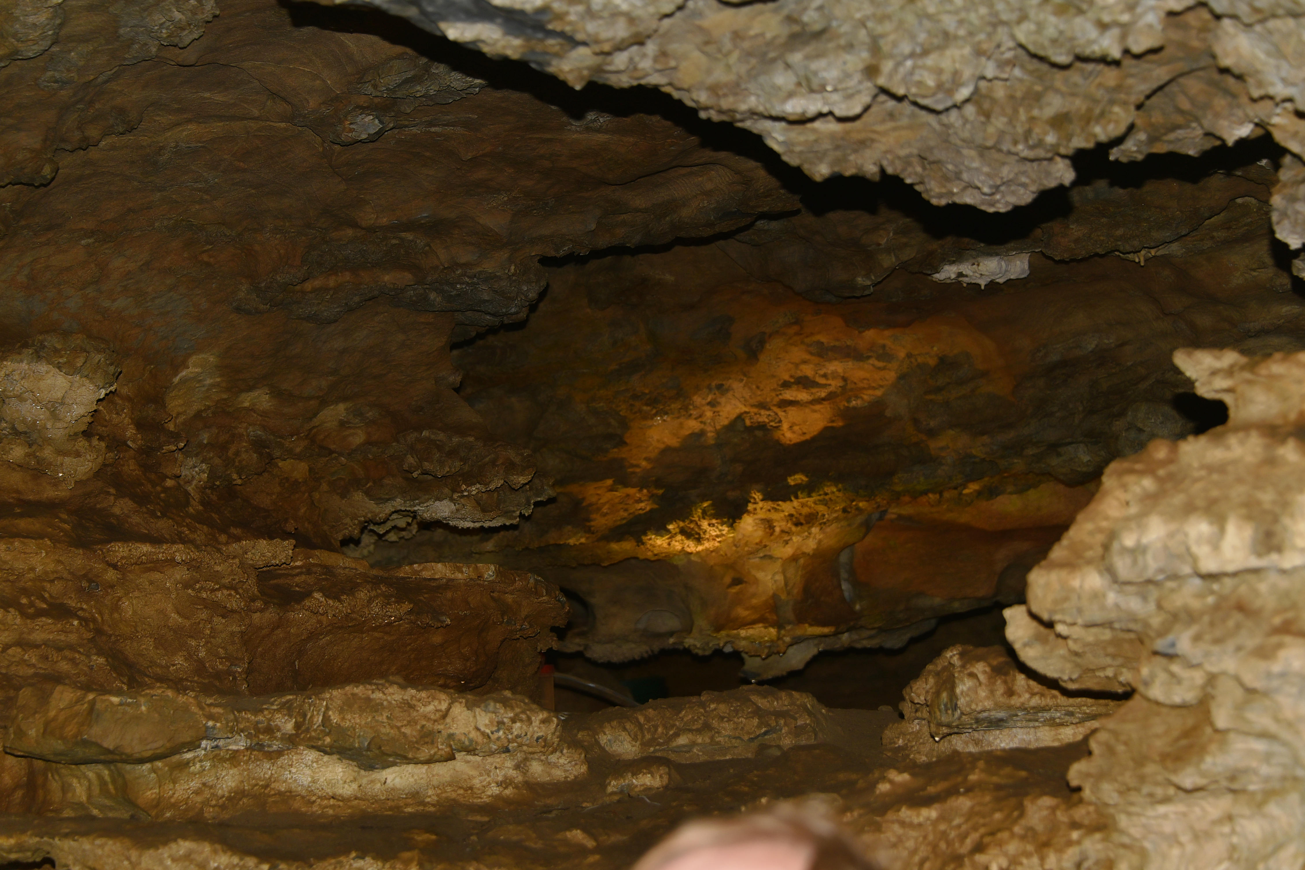
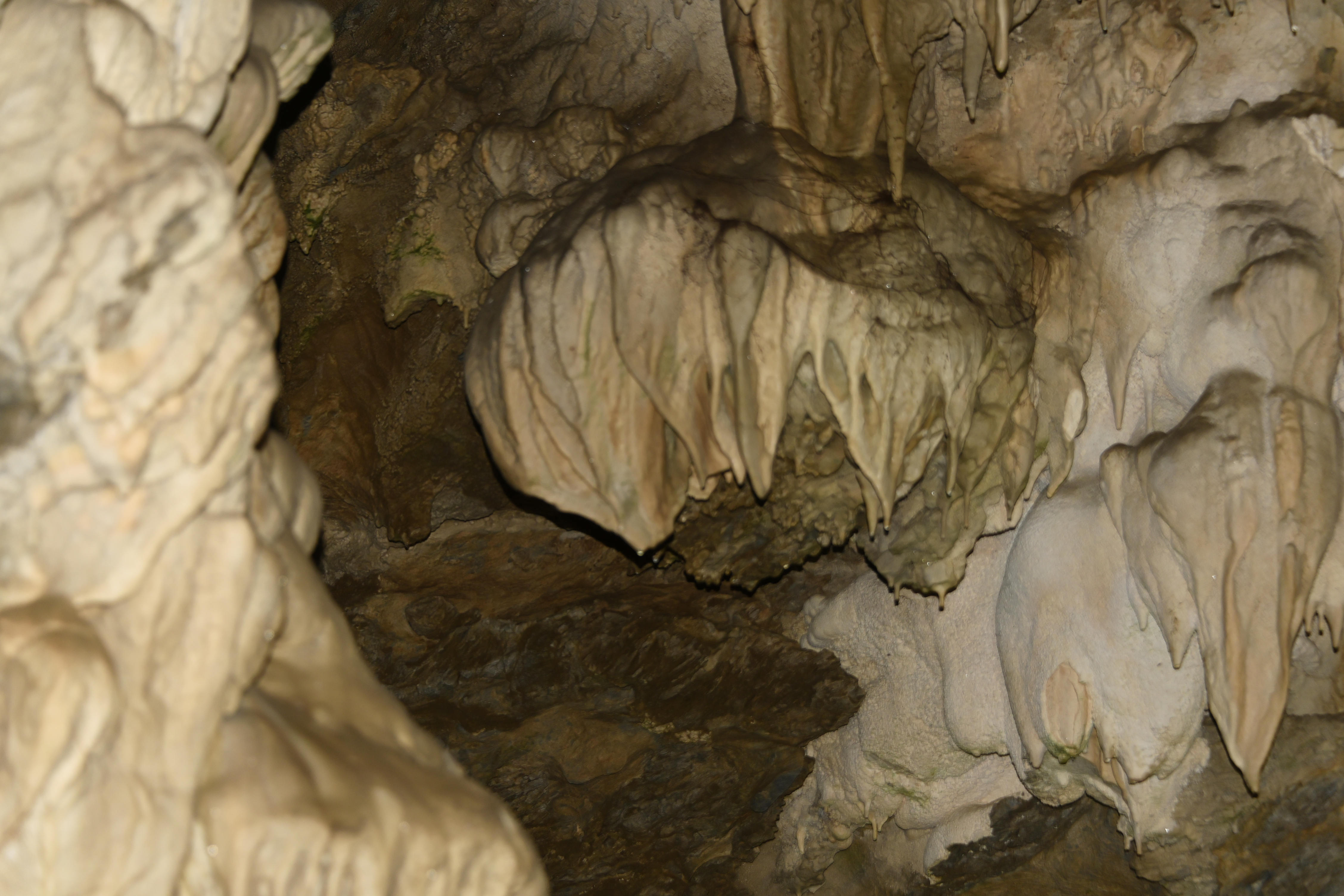
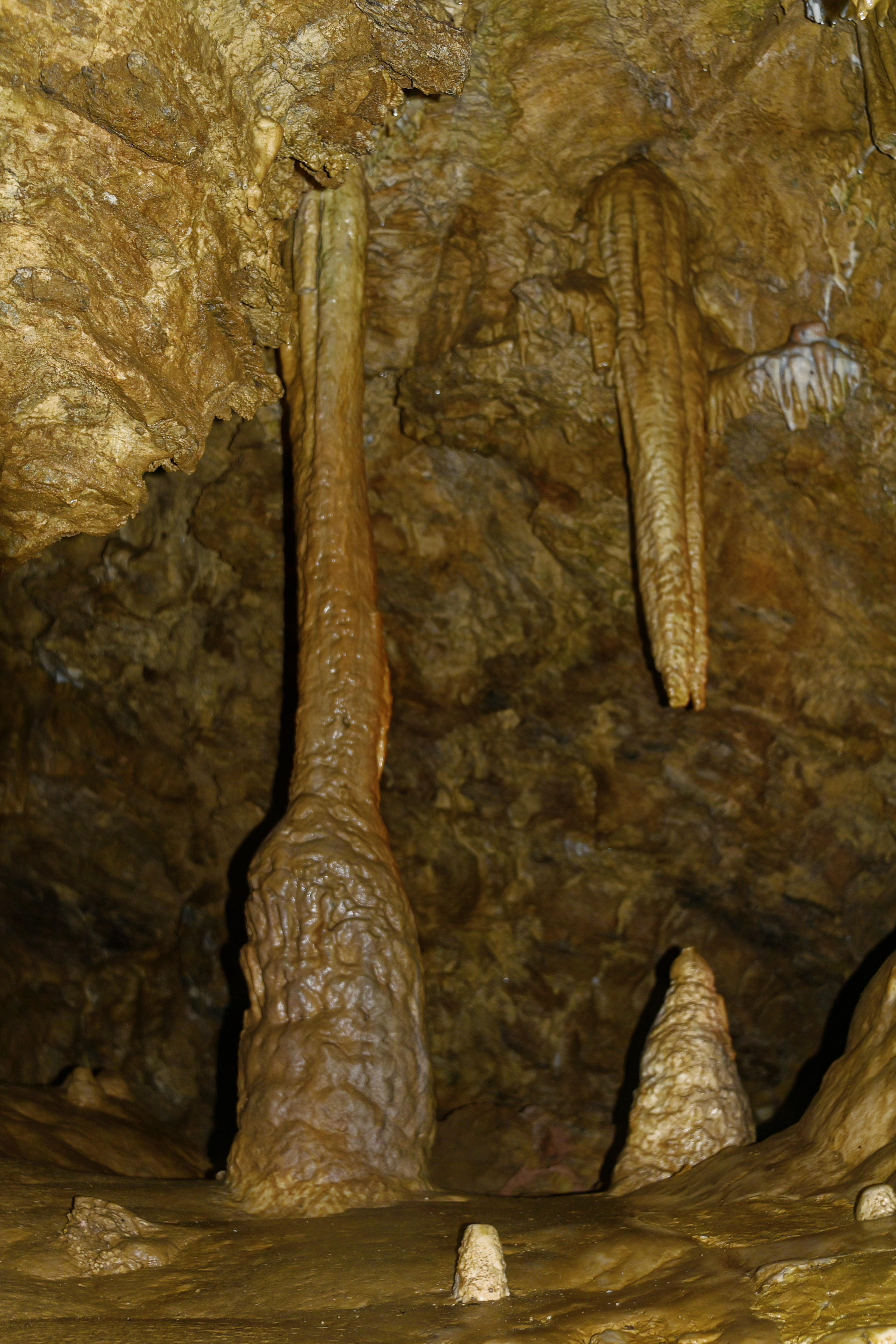
The last photographs taken at Oregon Caves.

oooo

oooo

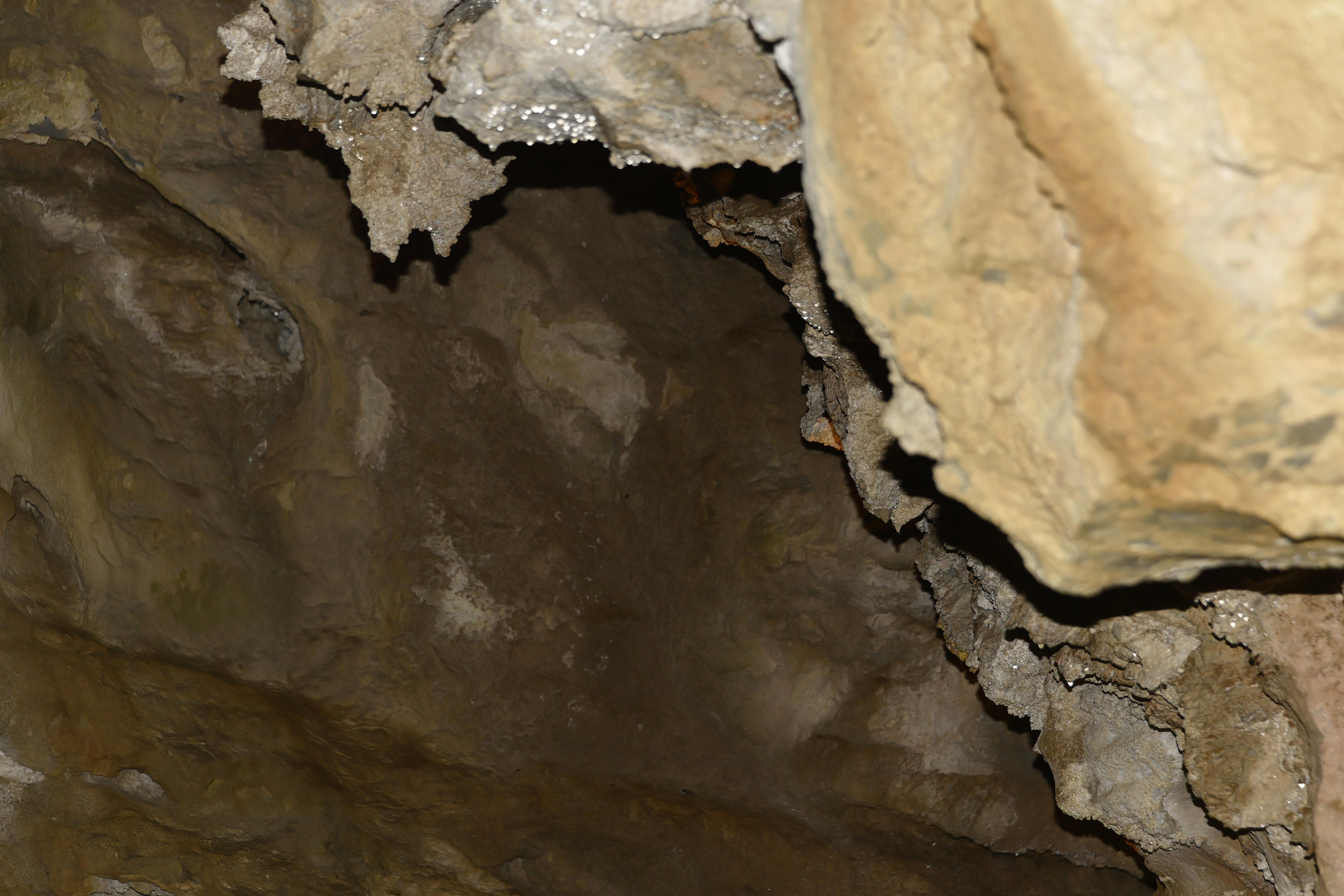
The guide shining her torch into the rock.

oooo

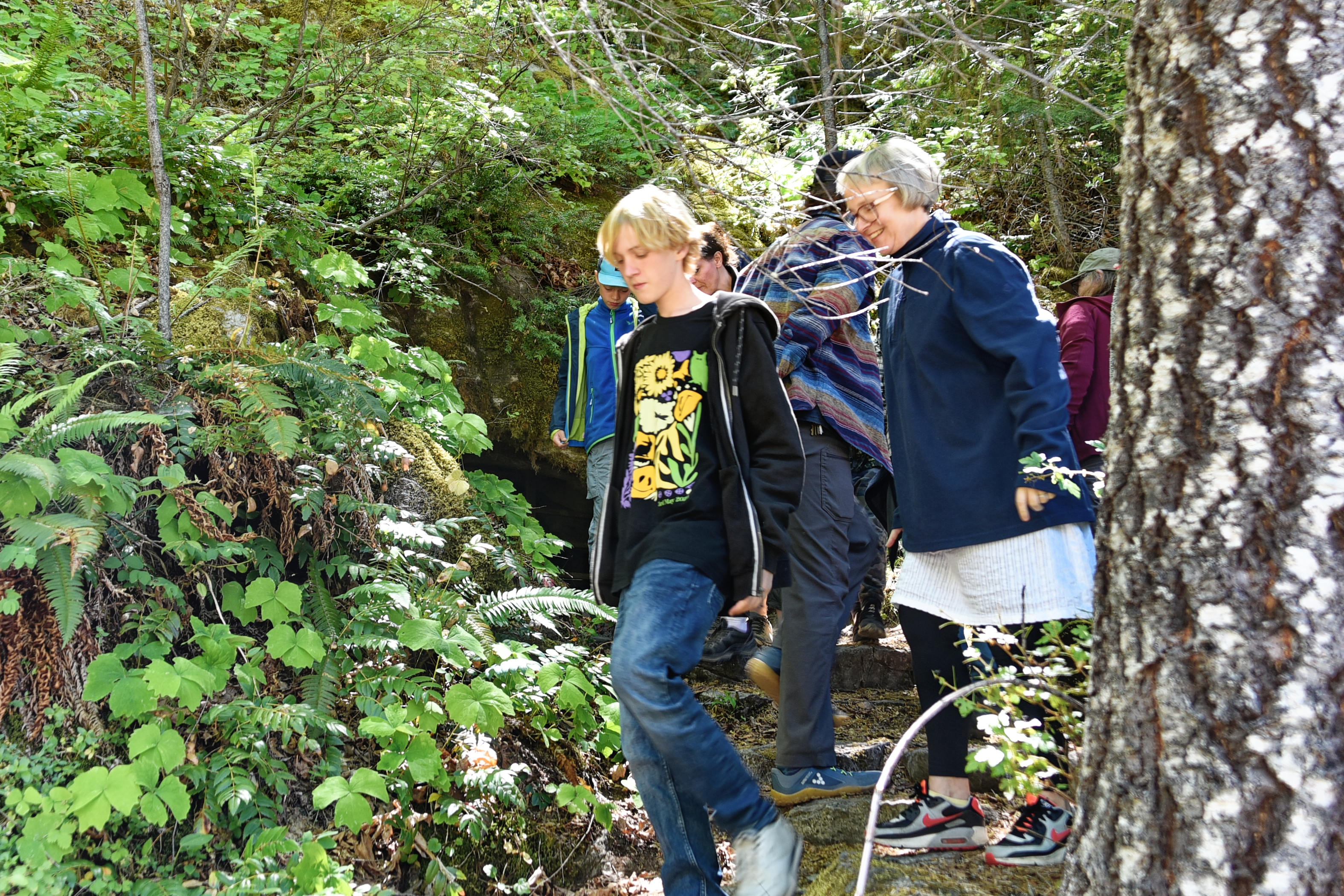
Lastly, the pathway down from the cave exit.

Picture Parade Four Hundred and Eighty-Three

A selection of photographs of Oregon Caves.

When my daughter, son-in-law, and grandson were with us just recently, Marius drove us to Oregon Caves and, wow, what a sight.

Marius and young Morten

oooo

Maija and Morten

oooo

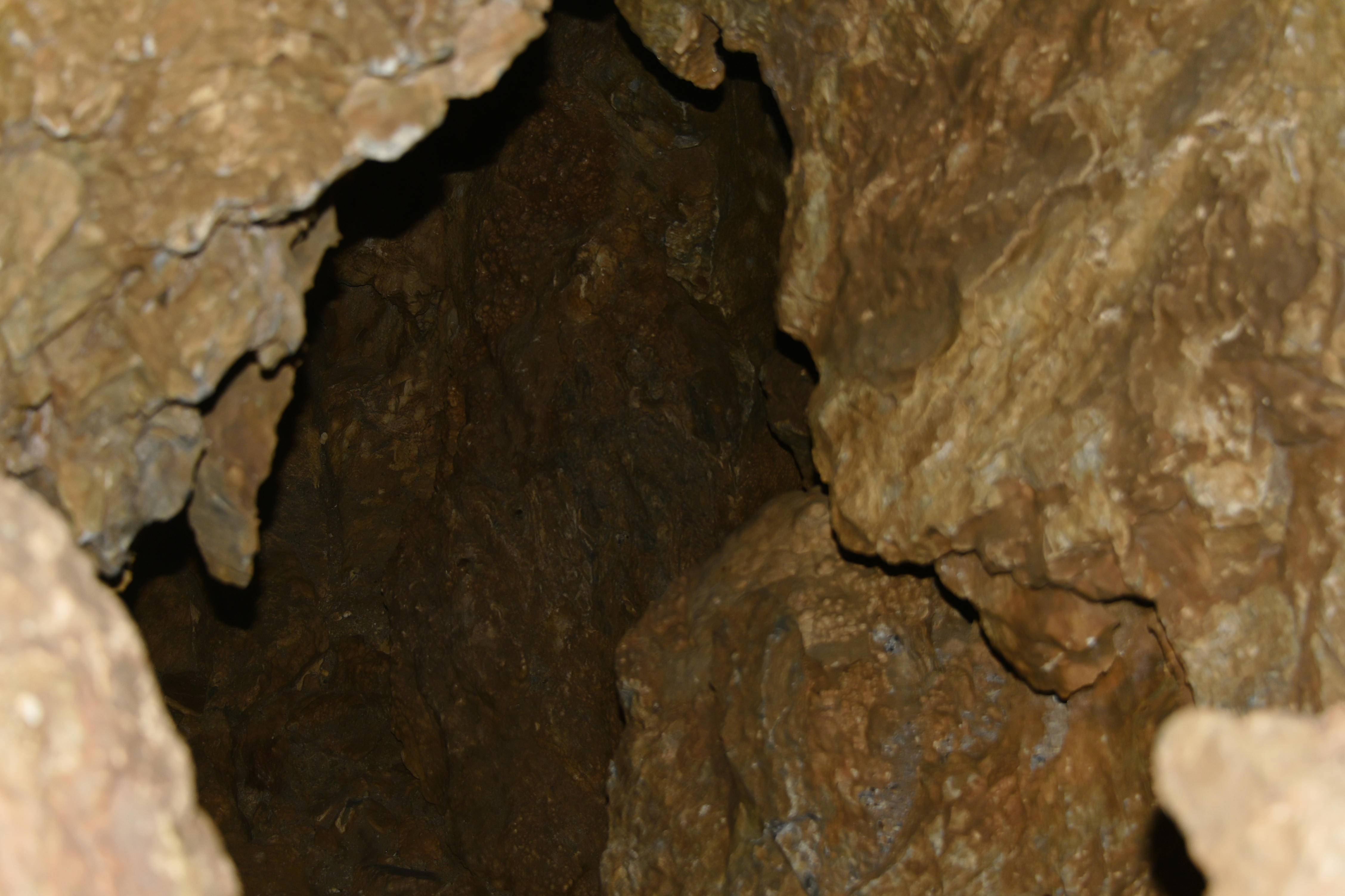
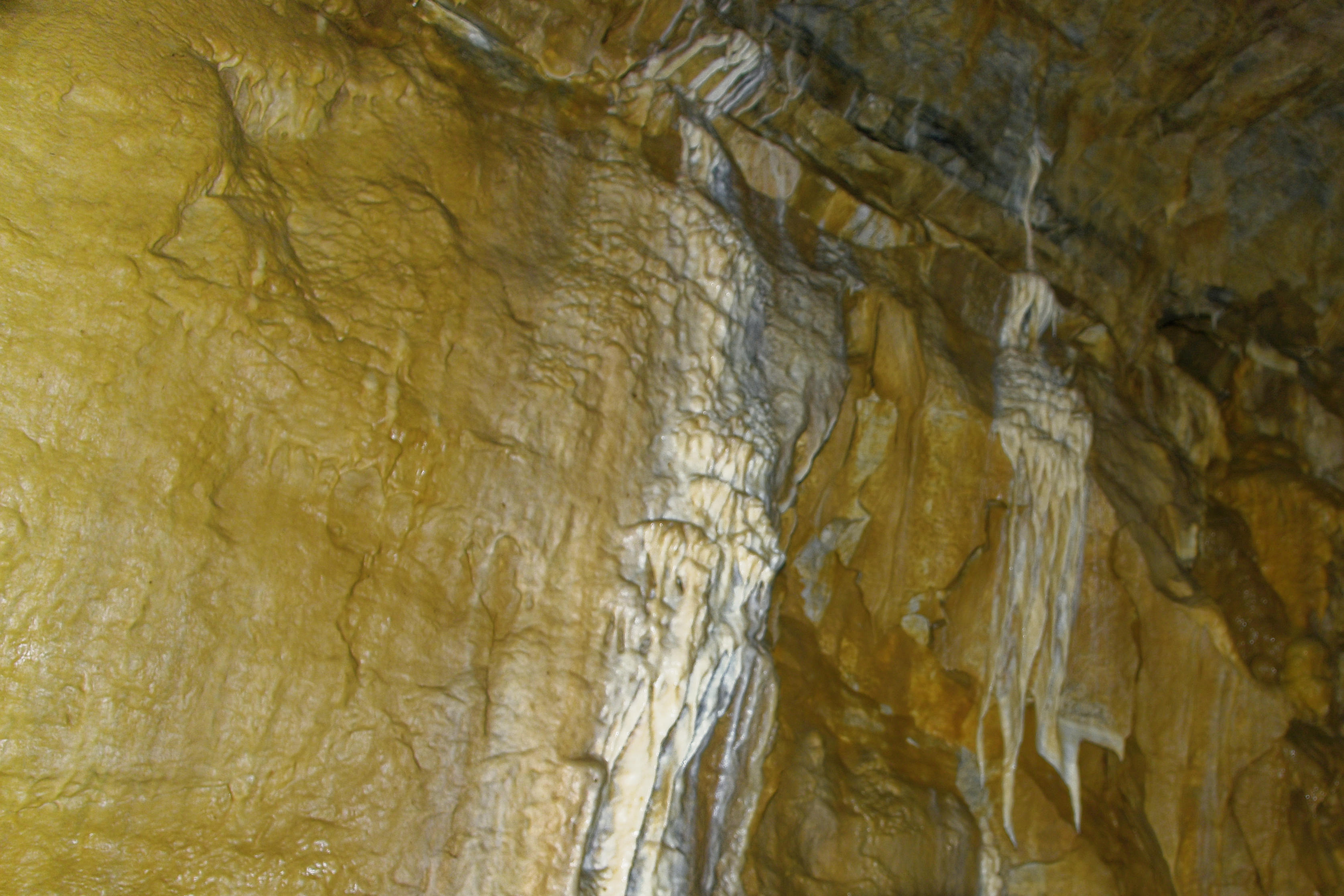
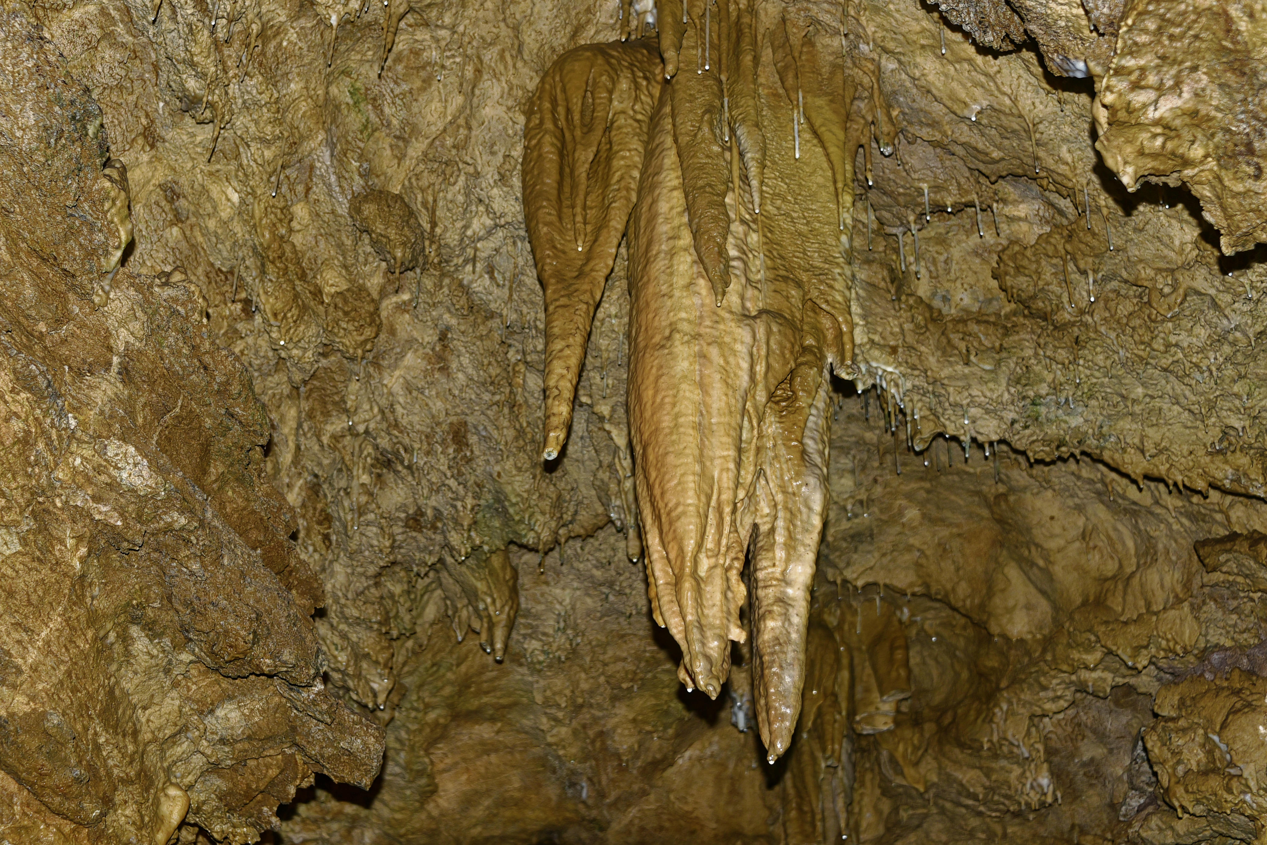
The cave

oooo

oooo

oooo

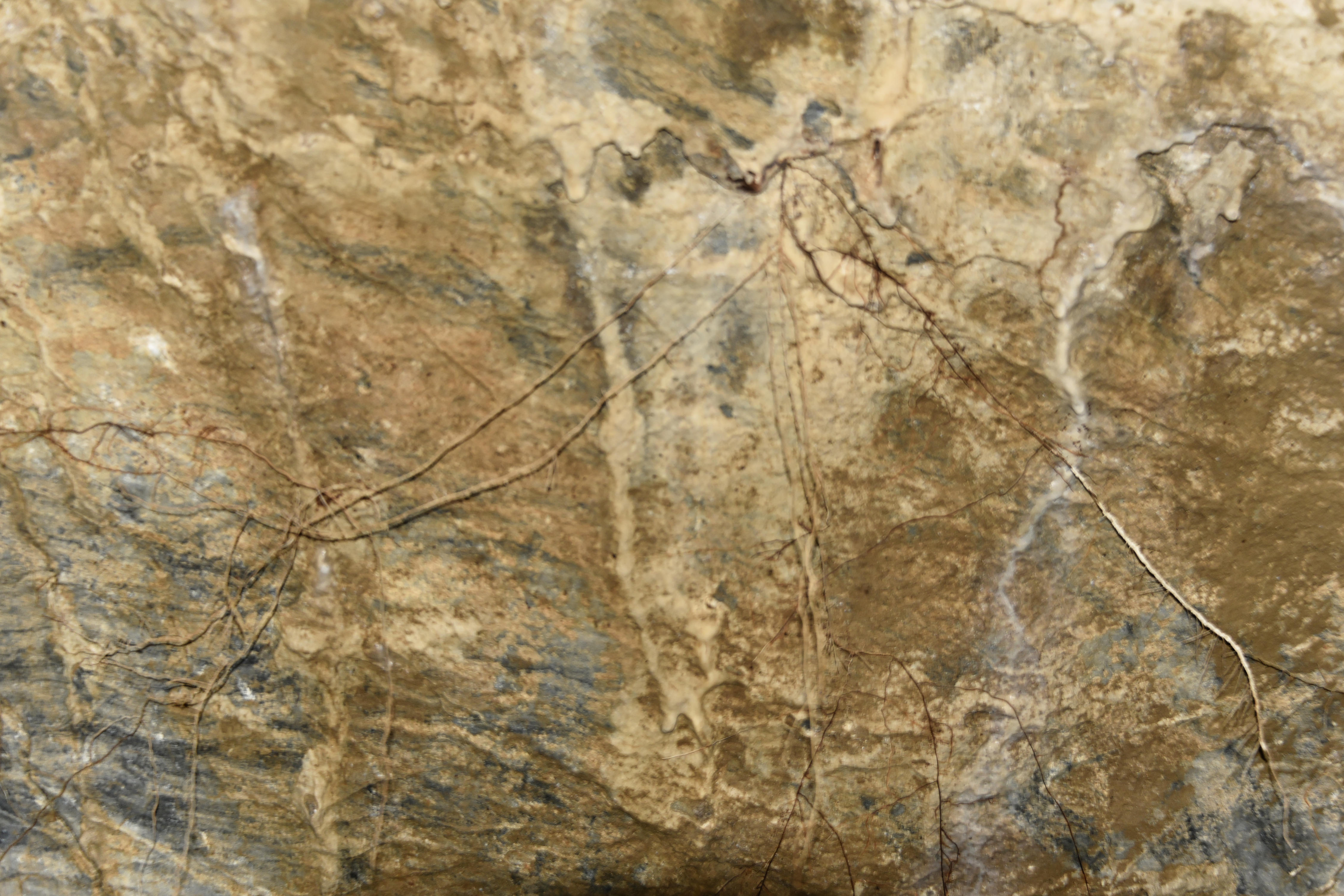
Roots of trees on the surface showing down here.

oooo

oooo

oooo

oooo

More photographs next Sunday.

Alex – The Ghost of the Forest

The second video from Alex and Lisa.

The video was produced on the 14th June, 2025.

Join us on an incredible Wildlife photography adventure through the wilds of Oregon, as we search for and capture stunning images of three iconic raptors: the Great Grey Owl, the Bald Eagle, and the Osprey. What was amazing is that we did not see another photographer whilst photographing these magnificent raptors! From dense forests to riverbanks and high mountain meadows, Oregon is a paradise for birdwatchers and wildlife photographers alike. In this video, we take you behind the scenes of our journey—tracking elusive owls, watching bald eagles, and photographing ospreys.

It makes us extremely proud to be living in this part of America!

The first video shoot by Alex is here.

Yellowstone

A YouTube video.

When my son, Alex, and Lisa, were with us in the second half of last month, they spoke of the tremendous joy they experienced in visiting Yellowstone before they came to us.

What a fabulous memory!

Picture Parade Four Hundred and Seventy-Five

Recent photographs of Sexton Mountain.

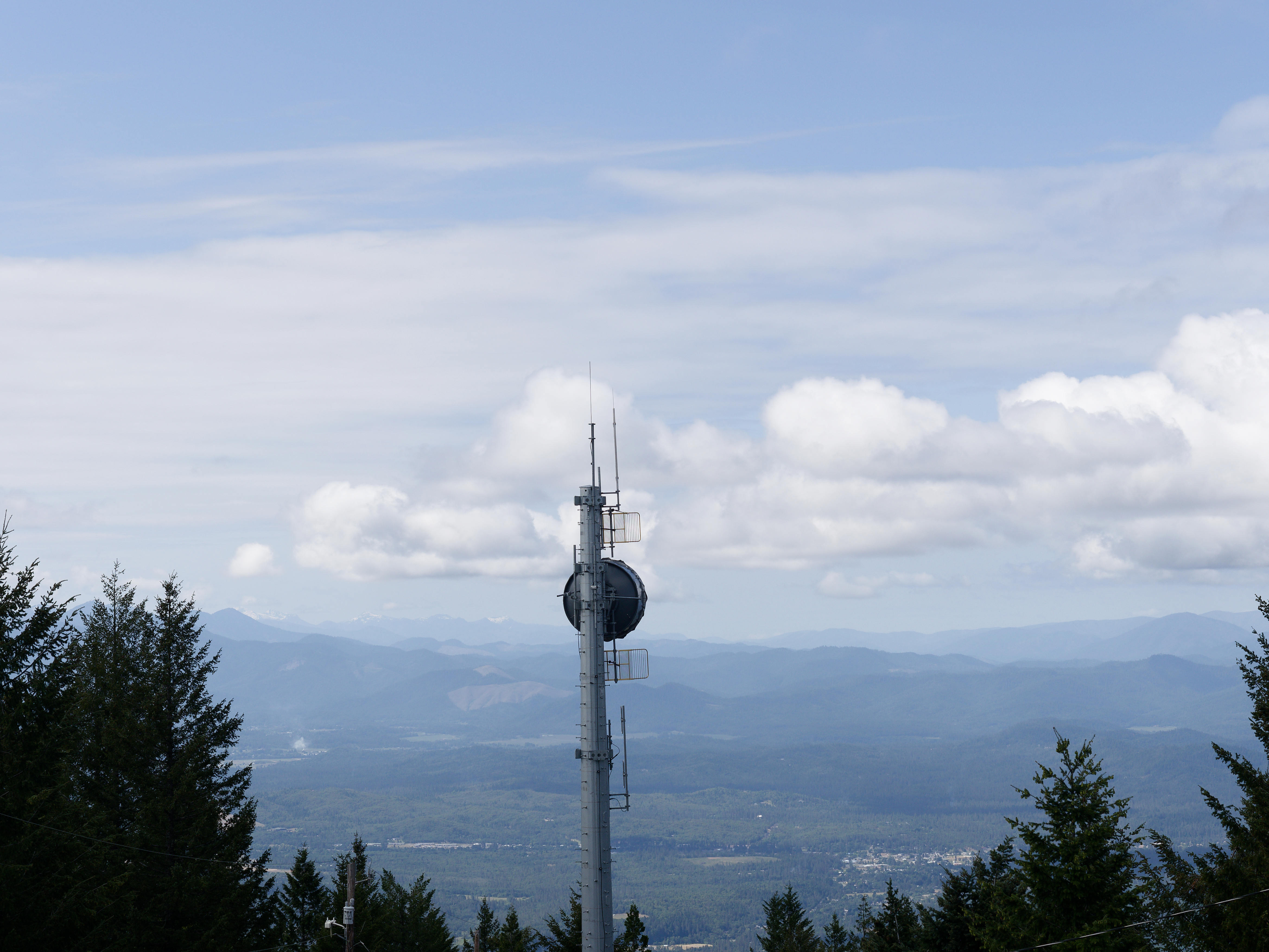
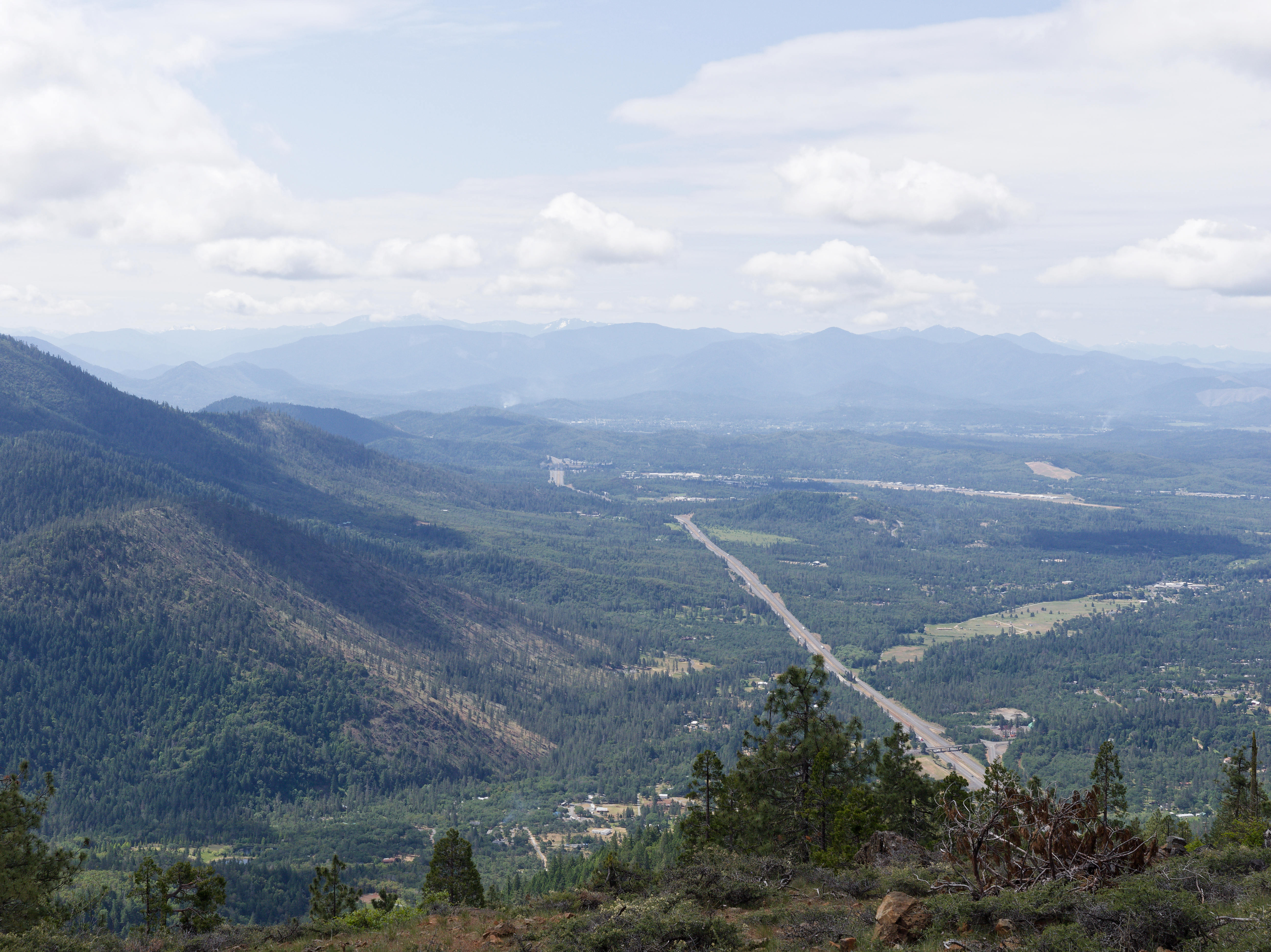
When my son and his partner, Lisa, were with us, just over a week ago, Alex suggested that he and I explored Sexton Mountain; some three miles to the North-East, as the crow flies. Normally the final stretch has to be walked because of a locked gate across the trail. However, that day the last 8/10ths of a mile were driven. It was a beautiful place with that summit 3,833 feet above sea-level (U.S. Geological Survey).

The Summit.

oooo

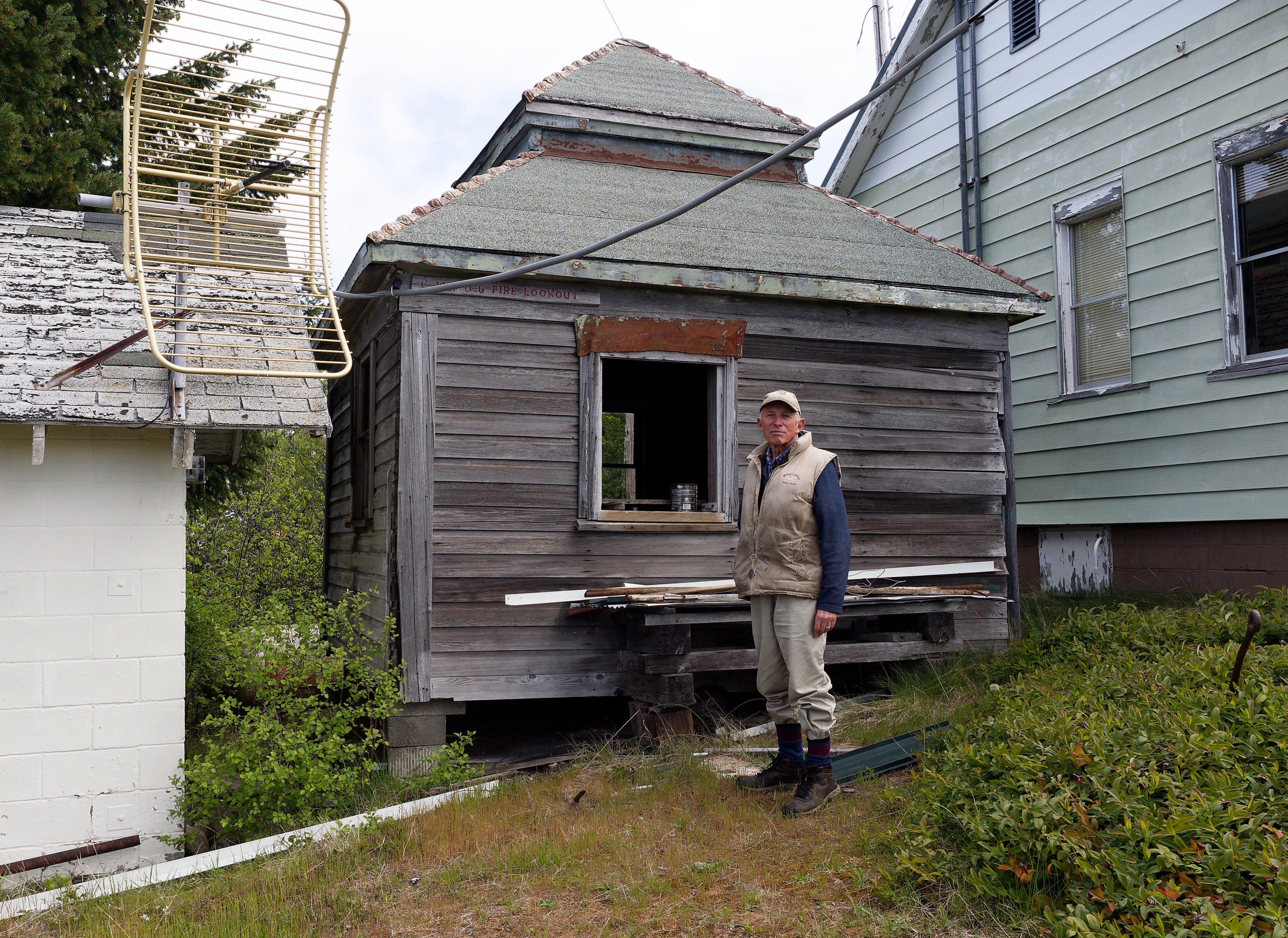
The original fire lookout.

oooo

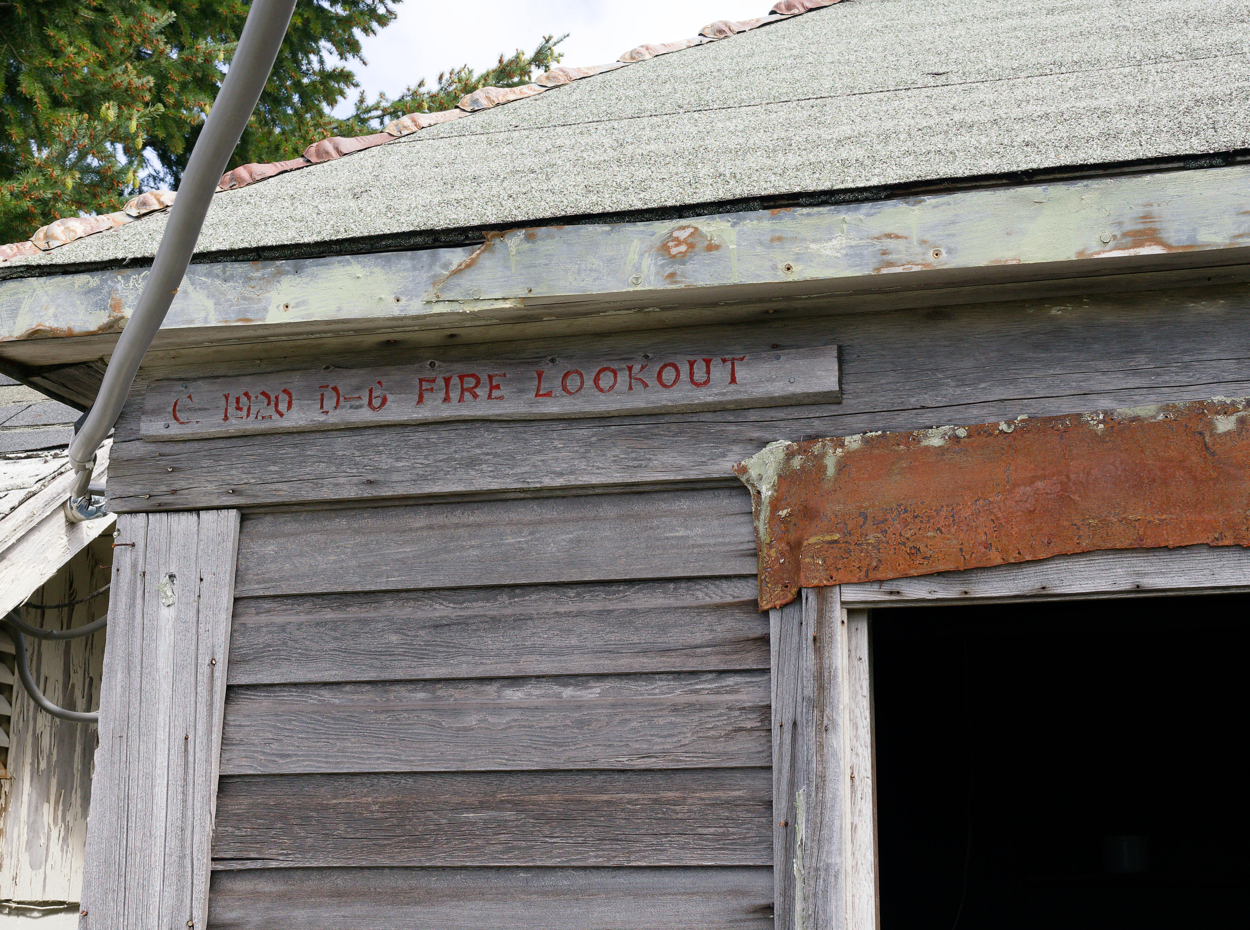
Confirmation of the year – 1920.

oooo

We descended 200 feet to be clear of the overhead cables. This is the view looking towards the South; the road being the I-5.

oooo

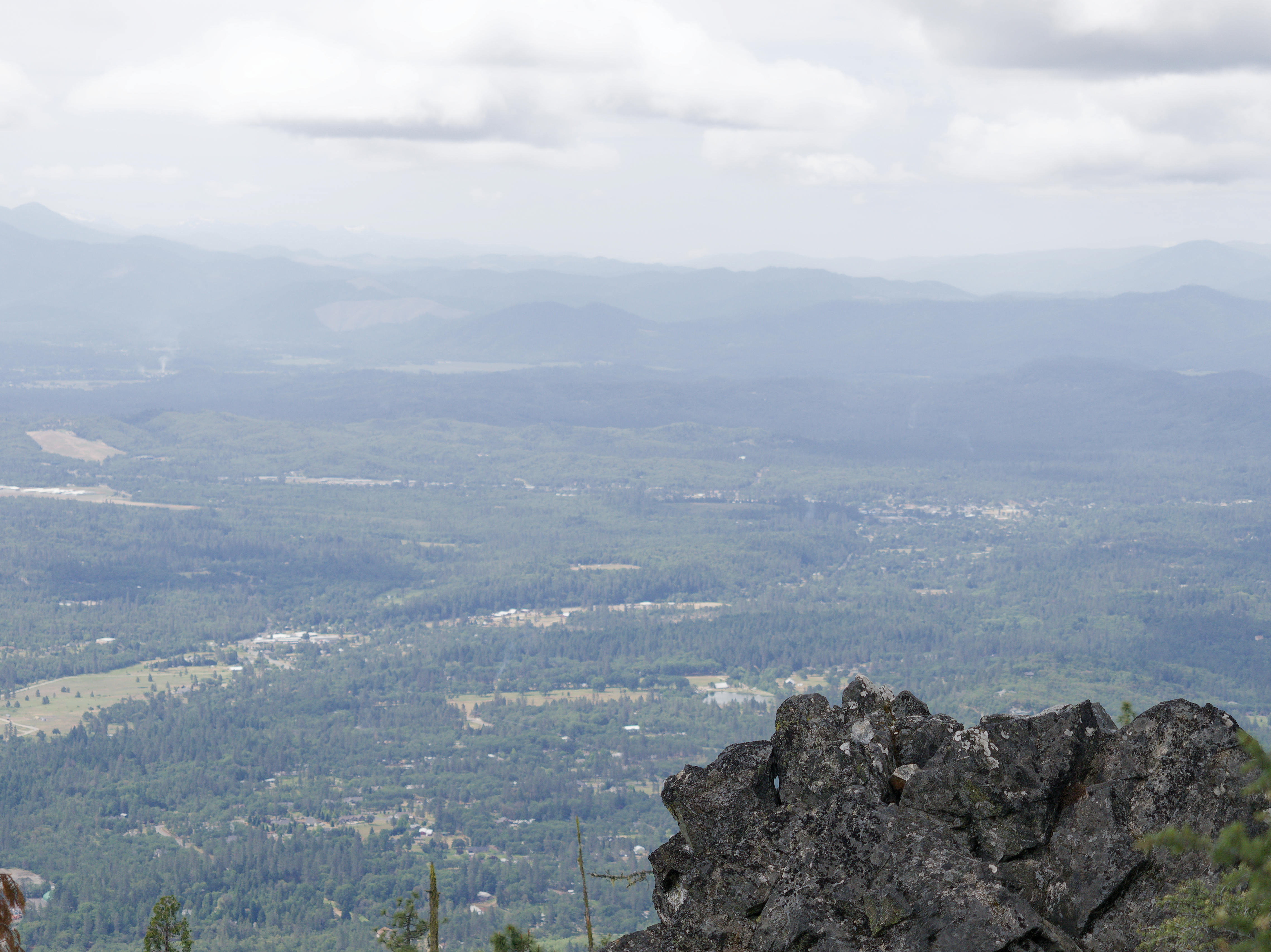
Another view from the same location.

oooo

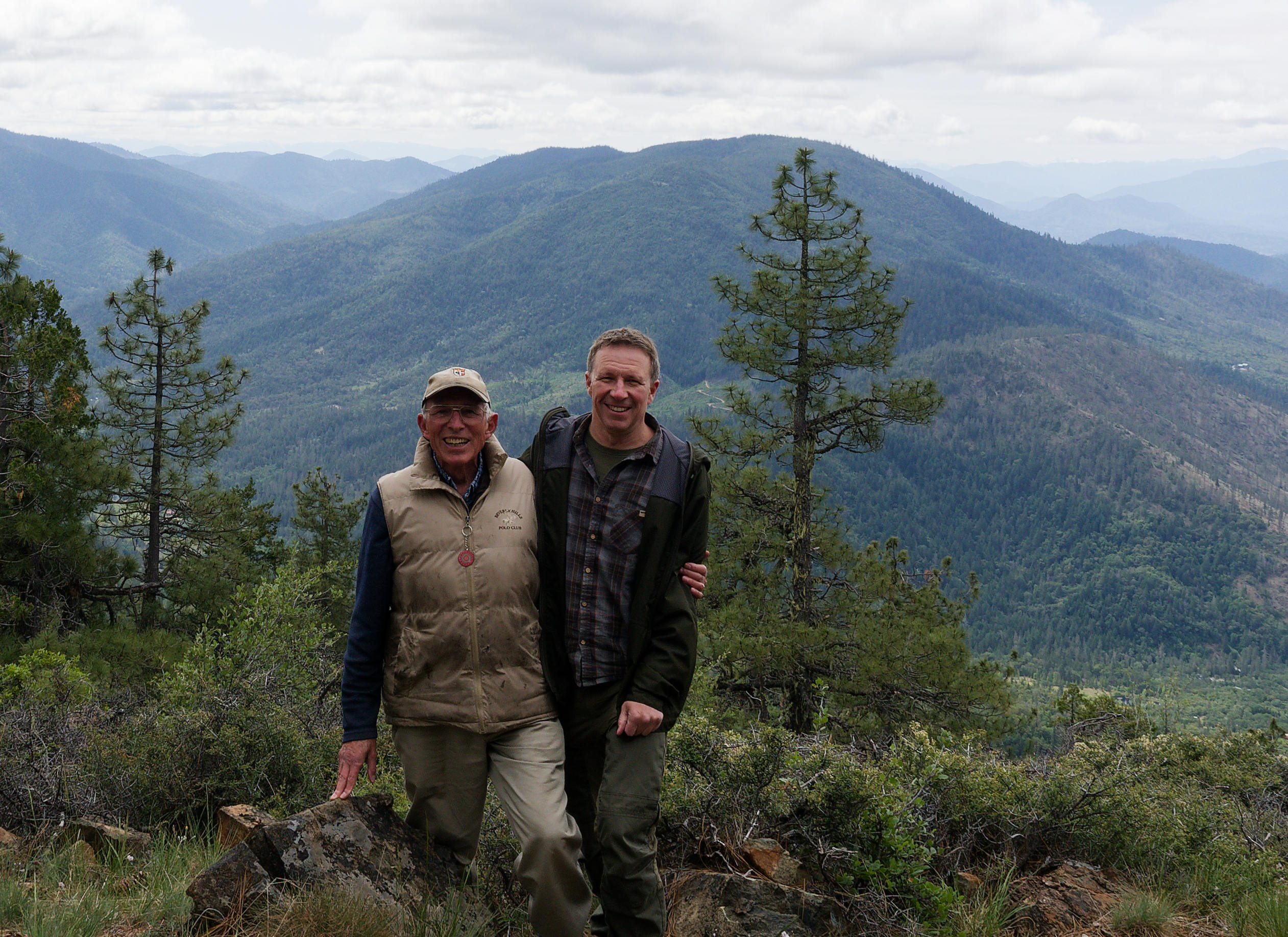
Dad and son.

It was a grand occasion.